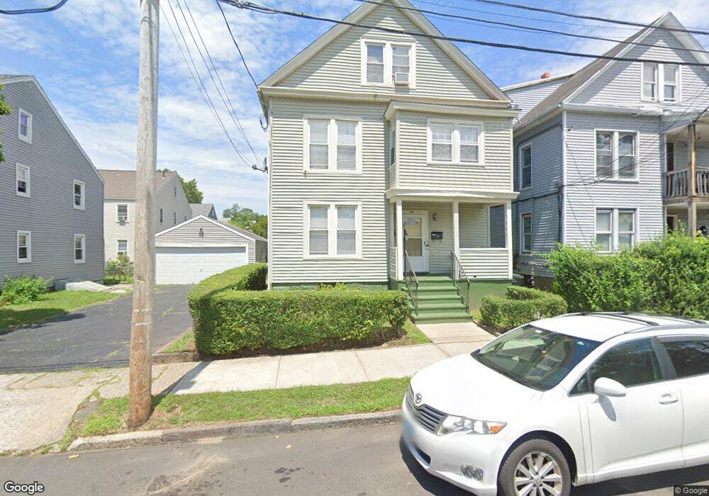
38 Somers St Bridgeport, CT 06604
Brooklawn-Saint Vincent NeighborhoodEstimated Value: $452,480 - $566,000
4
Beds
2
Baths
1,920
Sq Ft
$262/Sq Ft
Est. Value
About This Home
This home is located at 38 Somers St, Bridgeport, CT 06604 and is currently estimated at $503,120, approximately $262 per square foot. 38 Somers St is a home located in Fairfield County with nearby schools including Geraldine Johnson School, Bassick High School, and Merkaz Community High School for Judaic Studies.
Ownership History
Date
Name
Owned For
Owner Type
Purchase Details
Closed on
Jan 29, 2003
Sold by
Bennett Mark and Bennett Coretta
Bought by
Beckford Cassandra
Current Estimated Value
Home Financials for this Owner
Home Financials are based on the most recent Mortgage that was taken out on this home.
Original Mortgage
$116,695
Interest Rate
6.09%
Create a Home Valuation Report for This Property
The Home Valuation Report is an in-depth analysis detailing your home's value as well as a comparison with similar homes in the area
Home Values in the Area
Average Home Value in this Area
Purchase History
| Date | Buyer | Sale Price | Title Company |
|---|---|---|---|
| Beckford Cassandra | $80,000 | -- | |
| Beckford Cassandra | $80,000 | -- |
Source: Public Records
Mortgage History
| Date | Status | Borrower | Loan Amount |
|---|---|---|---|
| Open | Beckford Cassandra | $95,000 | |
| Closed | Beckford Cassandra | $31,000 | |
| Closed | Beckford Cassandra | $116,695 |
Source: Public Records
Tax History Compared to Growth
Tax History
| Year | Tax Paid | Tax Assessment Tax Assessment Total Assessment is a certain percentage of the fair market value that is determined by local assessors to be the total taxable value of land and additions on the property. | Land | Improvement |
|---|---|---|---|---|
| 2025 | $7,706 | $177,350 | $65,060 | $112,290 |
| 2024 | $7,706 | $177,350 | $65,060 | $112,290 |
| 2023 | $7,706 | $177,350 | $65,060 | $112,290 |
| 2022 | $7,706 | $177,350 | $65,060 | $112,290 |
| 2021 | $7,706 | $177,350 | $65,060 | $112,290 |
| 2020 | $6,779 | $125,560 | $39,450 | $86,110 |
| 2019 | $6,779 | $125,560 | $39,450 | $86,110 |
| 2018 | $6,827 | $125,560 | $39,450 | $86,110 |
| 2017 | $6,827 | $125,560 | $39,450 | $86,110 |
| 2016 | $6,827 | $125,560 | $39,450 | $86,110 |
| 2015 | $6,592 | $156,210 | $41,770 | $114,440 |
| 2014 | $6,592 | $156,210 | $41,770 | $114,440 |
Source: Public Records
Map
Nearby Homes
- 184 Pacific St
- 687 Wood Ave
- 366 Brooklawn Ave
- 665 W Taft Ave
- 566 Wood Ave
- 860 Briarwood Ave
- 2370 North Ave Unit 4C
- 2370 North Ave Unit 12G
- 2370 North Ave Unit 3F
- 1213 Wood Ave
- 700 Laurel Ave
- 697 Laurel Ave
- 74 Carleton Ave
- 100 Lorraine St
- 605 Brooklawn Ave
- 414 Wood Ave
- 80 Cartright St Unit 8J
- 80 Cartright St Unit 2F
- 80 Cartright St Unit GC
- 80 Cartright St Unit 8B
- 32 Somers St
- 24 Somers St
- 306 Pacific St Unit 308
- 314 Pacific St Unit 316
- 328 Pacific St
- 853 Wood Ave
- 845 Wood Ave
- 342 Pacific St Unit 344
- 829 Wood Ave
- 829 Wood Ave Unit 2
- 831 Wood Ave
- 309 Pacific St
- 825 Wood Ave
- 311 Pacific St
- 827 Wood Ave
- 305 Pacific St
- 299 Pacific St
- 358 Pacific St Unit 360
- 325 Pacific St
- 291 Pacific St