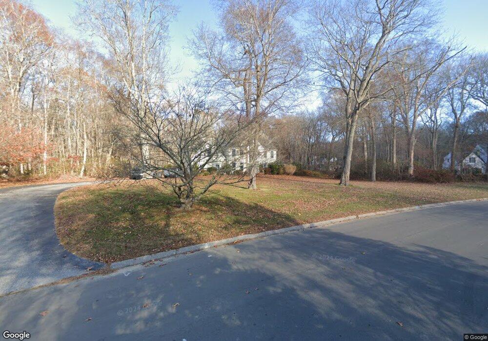
38 Spring Rock Rd East Lyme, CT 06333
Estimated Value: $672,000 - $935,000
4
Beds
3
Baths
3,085
Sq Ft
$264/Sq Ft
Est. Value
About This Home
This home is located at 38 Spring Rock Rd, East Lyme, CT 06333 and is currently estimated at $813,325, approximately $263 per square foot. 38 Spring Rock Rd is a home located in New London County with nearby schools including East Lyme Middle School, East Lyme High School, and Carelot Children's Center - East Lyme.
Ownership History
Date
Name
Owned For
Owner Type
Purchase Details
Closed on
Sep 21, 2004
Sold by
Albinski Mitchell
Bought by
Palladino Michael and Homa-Palladino Marie
Current Estimated Value
Purchase Details
Closed on
Feb 10, 1994
Sold by
Nazarko Prop
Bought by
Miko David W and Miko Lisa M
Create a Home Valuation Report for This Property
The Home Valuation Report is an in-depth analysis detailing your home's value as well as a comparison with similar homes in the area
Home Values in the Area
Average Home Value in this Area
Purchase History
| Date | Buyer | Sale Price | Title Company |
|---|---|---|---|
| Palladino Michael | $640,000 | -- | |
| Miko David W | $340,000 | -- |
Source: Public Records
Mortgage History
| Date | Status | Borrower | Loan Amount |
|---|---|---|---|
| Open | Miko David W | $404,828 | |
| Closed | Miko David W | $417,000 |
Source: Public Records
Tax History Compared to Growth
Tax History
| Year | Tax Paid | Tax Assessment Tax Assessment Total Assessment is a certain percentage of the fair market value that is determined by local assessors to be the total taxable value of land and additions on the property. | Land | Improvement |
|---|---|---|---|---|
| 2025 | $10,480 | $374,150 | $113,820 | $260,330 |
| 2024 | $9,859 | $374,150 | $113,820 | $260,330 |
| 2023 | $9,309 | $374,150 | $113,820 | $260,330 |
| 2022 | $8,920 | $374,150 | $113,820 | $260,330 |
| 2021 | $9,358 | $328,230 | $113,820 | $214,410 |
| 2020 | $9,533 | $336,140 | $113,820 | $222,320 |
| 2019 | $9,476 | $336,140 | $113,820 | $222,320 |
| 2018 | $9,193 | $336,140 | $113,820 | $222,320 |
| 2017 | $8,793 | $336,140 | $113,820 | $222,320 |
| 2016 | $8,377 | $330,330 | $113,820 | $216,510 |
| 2015 | $8,162 | $330,330 | $113,820 | $216,510 |
| 2014 | $7,938 | $330,330 | $113,820 | $216,510 |
Source: Public Records
Map
Nearby Homes
- 57 Spring Rock Rd
- 496 Boston Post Rd
- Waramaug Plan at Riverside Reserve
- Highland Plan at Riverside Reserve
- Hayward Plan at Riverside Reserve
- Ashford Plan at Riverside Reserve
- Lillinonah Plan at Riverside Reserve
- 16 Twin Valley Rd
- 18 Twin Valley Rd
- 223 N Bride Brook Rd
- 270 N Bride Brook Rd
- 188 4 Mile River Rd
- 287 Boston Post Rd
- 14 Colton Rd
- 420 Boston Post Rd
- 15 Freedom Way Unit 92
- 13 Willow Ln
- 15 Short Hills Rd
- 23 Lords Meadow Ln
- 25 Marion Dr
- 36 Spring Rock Rd
- 40 Spring Rock Rd
- 40 Spring Rock Rd
- 34 Spring Rock Rd
- 37 Spring Rock Rd
- 39 Spring Rock Rd
- 33 Spring Rock Rd
- 44 Spring Rock Rd
- 41 Spring Rock Rd
- 32 Spring Rock Rd
- 43 Spring Rock Rd
- 46 Spring Rock Rd
- 45 Plants Dam Rd
- 15 Plants Dam Rd
- 45 Spring Rock Rd
- 47 Spring Rock Rd
- 48 Spring Rock Rd
- 49 Plants Dam Rd
- 49 Spring Rock Rd
- 25 Spring Rock Rd