38 Springbrook Dr Milton, NH 03851
Estimated Value: $393,000 - $552,000
3
Beds
2
Baths
1,300
Sq Ft
$372/Sq Ft
Est. Value
About This Home
This home is located at 38 Springbrook Dr, Milton, NH 03851 and is currently estimated at $483,335, approximately $371 per square foot. 38 Springbrook Dr is a home located in Strafford County with nearby schools including Milton Elementary School, Nute Junior High School, and Nute High School.
Ownership History
Date
Name
Owned For
Owner Type
Purchase Details
Closed on
Feb 5, 2008
Sold by
Wenczkowski Gary and Fnma
Bought by
Federal National Mortgage Association
Current Estimated Value
Purchase Details
Closed on
Sep 20, 2005
Sold by
Silver Springs Ests Ll
Bought by
Roy Megann
Home Financials for this Owner
Home Financials are based on the most recent Mortgage that was taken out on this home.
Original Mortgage
$189,437
Interest Rate
5.84%
Mortgage Type
Purchase Money Mortgage
Create a Home Valuation Report for This Property
The Home Valuation Report is an in-depth analysis detailing your home's value as well as a comparison with similar homes in the area
Home Values in the Area
Average Home Value in this Area
Purchase History
| Date | Buyer | Sale Price | Title Company |
|---|---|---|---|
| Federal National Mortgage Association | $199,400 | -- | |
| Roy Megann | $236,800 | -- |
Source: Public Records
Mortgage History
| Date | Status | Borrower | Loan Amount |
|---|---|---|---|
| Open | Roy Megann | $168,500 | |
| Previous Owner | Roy Megann | $189,437 |
Source: Public Records
Tax History
| Year | Tax Paid | Tax Assessment Tax Assessment Total Assessment is a certain percentage of the fair market value that is determined by local assessors to be the total taxable value of land and additions on the property. | Land | Improvement |
|---|---|---|---|---|
| 2025 | $6,657 | $451,000 | $137,600 | $313,400 |
| 2024 | $6,291 | $451,000 | $137,600 | $313,400 |
| 2023 | $5,907 | $240,700 | $63,700 | $177,000 |
| 2022 | $5,892 | $240,700 | $63,700 | $177,000 |
| 2021 | $5,502 | $240,700 | $63,700 | $177,000 |
| 2020 | $5,334 | $240,700 | $63,700 | $177,000 |
| 2019 | $5,671 | $240,700 | $63,700 | $177,000 |
| 2018 | $5,493 | $215,600 | $45,300 | $170,300 |
| 2017 | $5,758 | $222,400 | $45,300 | $177,100 |
| 2016 | $5,274 | $185,700 | $45,300 | $140,400 |
| 2015 | $5,311 | $185,700 | $45,300 | $140,400 |
| 2014 | $4,957 | $185,600 | $45,300 | $140,300 |
| 2013 | $4,733 | $182,900 | $45,300 | $137,600 |
Source: Public Records
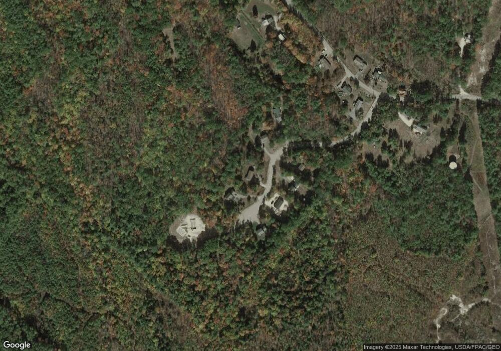
Map
Nearby Homes
- 00 Bourdeau Rd Unit 74
- 6 Dawson St
- 200 Farmington Rd
- 41 Depot Pond Rd
- 24 Porter Rd
- 185 White Mountain Hwy
- 34 Pineland Park Rd
- 15 Pineland Park Rd
- 37 Allen Hall Rd
- 136 Hare Rd
- 10 Saltbox Rd
- 65 Kennebec Dr
- 1 Backjaw Rd
- 107 Richards Way
- 193 New Bridge Rd
- 370 Hare Rd
- 164 Mason Rd
- R12-65 Orrills Hill Rd
- 44 Tall Pine Rd
- 0 Tall Pine Rd Unit 5074959
- 40 Springbrook Dr
- 40 Springbrook Dr
- 30 Springbrook Dr
- 33 Springbrook Dr
- 39 Springbrook Dr
- 31 Spring Brook Dr
- 26 Springbrook Dr
- 26 Springbrook Dr
- 50 Springbrook Dr
- 46 Springbrook Dr
- 4 Springbrook Dr
- 105 Silver St
- 129 Silver St
- 111 Silver St
- 9 Spring Brook Dr
- 7 Spring Brook Dr Unit Lot7-7
- 7 Spring Brook Dr
- 106 Silver St
- 104 Silver St
- 130 Silver St
Your Personal Tour Guide
Ask me questions while you tour the home.