38 Stamp Mill Ln Dahlonega, GA 30533
Estimated Value: $1,002,077 - $1,235,000
--
Bed
5
Baths
5,920
Sq Ft
$189/Sq Ft
Est. Value
About This Home
This home is located at 38 Stamp Mill Ln, Dahlonega, GA 30533 and is currently estimated at $1,120,019, approximately $189 per square foot. 38 Stamp Mill Ln is a home located in Lumpkin County with nearby schools including Clay County Middle School and Lumpkin County High School.
Ownership History
Date
Name
Owned For
Owner Type
Purchase Details
Closed on
Sep 9, 2016
Sold by
Anderson Jean N
Bought by
Booker Amy A
Current Estimated Value
Purchase Details
Closed on
Sep 20, 2001
Sold by
Osley Builders Inc
Bought by
Booker James M and Booker Amy A
Purchase Details
Closed on
Nov 16, 1999
Sold by
Owens Valley Farm Lp
Bought by
Osley Builders Inc
Purchase Details
Closed on
Apr 17, 1998
Bought by
Owens Valley Farm Lp
Create a Home Valuation Report for This Property
The Home Valuation Report is an in-depth analysis detailing your home's value as well as a comparison with similar homes in the area
Home Values in the Area
Average Home Value in this Area
Purchase History
| Date | Buyer | Sale Price | Title Company |
|---|---|---|---|
| Booker Amy A | -- | -- | |
| Booker James M | $470,000 | -- | |
| Osley Builders Inc | $155,000 | -- | |
| Owens Valley Farm Lp | -- | -- |
Source: Public Records
Tax History Compared to Growth
Tax History
| Year | Tax Paid | Tax Assessment Tax Assessment Total Assessment is a certain percentage of the fair market value that is determined by local assessors to be the total taxable value of land and additions on the property. | Land | Improvement |
|---|---|---|---|---|
| 2024 | $6,305 | $329,626 | $12,000 | $317,626 |
| 2023 | $5,184 | $295,330 | $12,000 | $283,330 |
| 2022 | $5,547 | $277,276 | $12,000 | $265,276 |
| 2021 | $4,637 | $237,411 | $12,000 | $225,411 |
| 2020 | $4,633 | $231,961 | $12,000 | $219,961 |
| 2019 | $4,937 | $239,961 | $20,000 | $219,961 |
| 2018 | $4,739 | $224,524 | $34,465 | $190,059 |
| 2017 | $4,598 | $218,067 | $34,465 | $183,602 |
| 2016 | $4,192 | $204,043 | $34,465 | $169,578 |
| 2015 | $3,429 | $204,043 | $34,465 | $169,578 |
| 2014 | $3,429 | $204,043 | $34,465 | $169,578 |
| 2013 | -- | $207,306 | $35,802 | $171,504 |
Source: Public Records
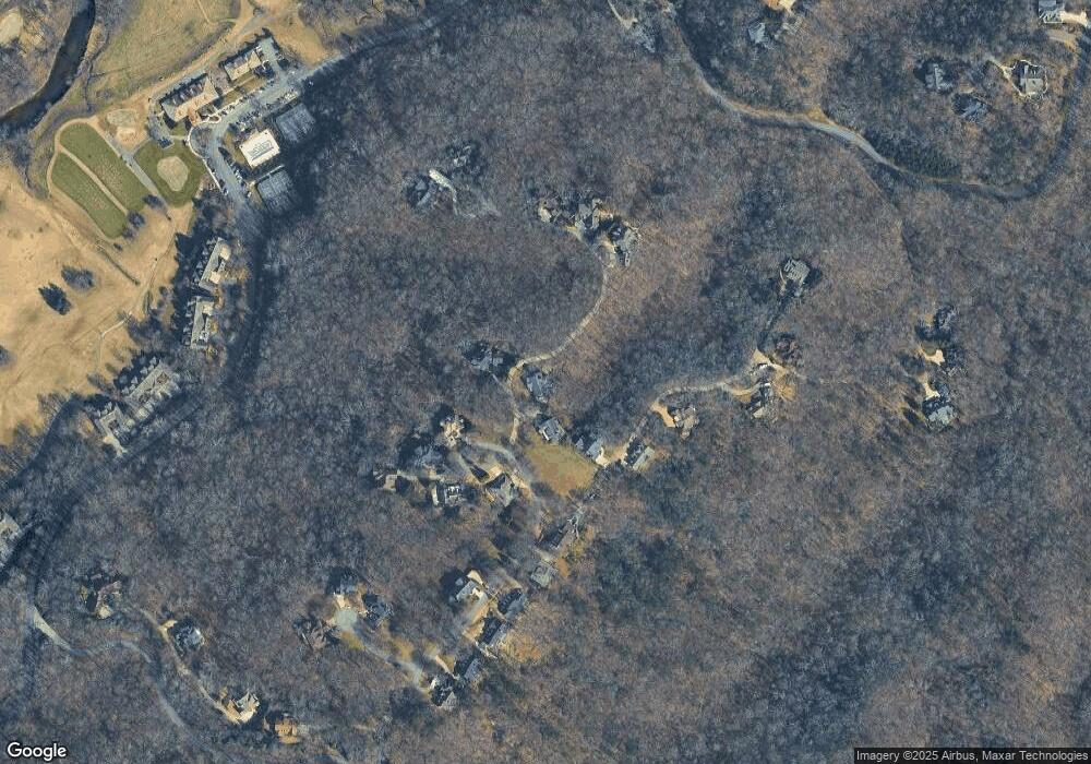
Map
Nearby Homes
- 133 Stamp Mill Dr
- 0 Stamp Mill Dr
- 176 Stamp Mill Ln
- 270 Prospector Ridge
- 134 Prospector Ridge
- 533 Birch River Dr Unit GV17
- 1376 Robinson Rd
- 38 Cavender Run
- 1113 Kiliahote Pass
- 1259 Birch River Dr
- 134 Rockhound Dr
- 72 Rustin Ridge Unit 276
- 58 Rustin Ridge Unit 278
- 42 Rustin Ridge Unit 285
- 1364 Birch River Dr
- 103 Rockhound Dr
- 48 Kasten Run
- 179 Golden Bear Pass
- 1045 Bear Paw Ridge
- 38 Stamp Mill Dr
- 14 Stamp Mill Ln
- 35 Stamp Mill Ln
- 35 Stamp Mill Ln
- 63 Stamp Mill Dr
- 0 Prospector Ridge Unit LT 116 3230165
- 0 Prospector Ridge Unit 3254728
- 0 Prospector Ridge Unit 128 8043873
- 0 Prospector Ridge Unit 8948217
- 0 Prospector Ridge Unit 8964216
- 0 Prospector Ridge Unit 8293519
- 0 Prospector Ridge Unit 8426734
- 238 Prospector Ridge
- 233 Prospector Ridge
- 122 Stamp Mill Ln
- 66 Stamp Mill Dr
- 50 Stamp Mill Dr
- 200 Stamp Mill Ln
- 256 Prospector Ridge
- 256 Prospector Ridge Unit 118