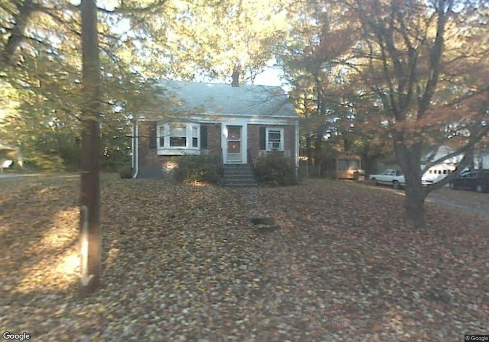
38 Standish Rd Arlington, MA 02476
Arlington Heights NeighborhoodEstimated Value: $1,719,000 - $1,764,000
4
Beds
3
Baths
2,525
Sq Ft
$686/Sq Ft
Est. Value
About This Home
This home is located at 38 Standish Rd, Arlington, MA 02476 and is currently estimated at $1,733,076, approximately $686 per square foot. 38 Standish Rd is a home located in Middlesex County with nearby schools including Dallin Elementary School, Ottoson Middle School, and Arlington High School.
Ownership History
Date
Name
Owned For
Owner Type
Purchase Details
Closed on
Jun 28, 2013
Sold by
Scott Steven D and Scott Laurie L
Bought by
Laurie Lane Scott Ret and Scott
Current Estimated Value
Purchase Details
Closed on
Aug 14, 2009
Sold by
Kennedy Thomas and Schaejbe Thomas
Bought by
Scott Steven D and Scott Laurie L
Purchase Details
Closed on
Jul 1, 2008
Sold by
Fleet Lloyd R
Bought by
Kennedy Thomas and Schaejbe Thomas
Create a Home Valuation Report for This Property
The Home Valuation Report is an in-depth analysis detailing your home's value as well as a comparison with similar homes in the area
Home Values in the Area
Average Home Value in this Area
Purchase History
We collect this data history from publicly available records. To have your information removed, we recommend requesting removal directly through your county’s website.
| Date | Buyer | Sale Price | Title Company |
|---|---|---|---|
| Laurie Lane Scott Ret | -- | -- | |
| Scott Steven D | $752,000 | -- | |
| Kennedy Thomas | $357,500 | -- |
Source: Public Records
Tax History
| Year | Tax Paid | Tax Assessment Tax Assessment Total Assessment is a certain percentage of the fair market value that is determined by local assessors to be the total taxable value of land and additions on the property. | Land | Improvement |
|---|---|---|---|---|
| 2025 | $15,985 | $1,484,200 | $497,800 | $986,400 |
| 2024 | $15,071 | $1,423,100 | $497,800 | $925,300 |
| 2023 | $14,455 | $1,289,500 | $443,100 | $846,400 |
| 2022 | $13,627 | $1,193,300 | $424,900 | $768,400 |
| 2021 | $13,271 | $1,170,300 | $424,900 | $745,400 |
| 2020 | $12,944 | $1,170,300 | $424,900 | $745,400 |
| 2019 | $11,228 | $997,200 | $424,900 | $572,300 |
| 2018 | $11,480 | $946,400 | $358,200 | $588,200 |
| 2017 | $11,505 | $916,000 | $327,800 | $588,200 |
| 2016 | $11,103 | $867,400 | $279,200 | $588,200 |
| 2015 | $11,097 | $819,000 | $242,800 | $576,200 |
Source: Public Records
Map
Nearby Homes
- 70 Birch Hill Rd
- 53 Birch Hill Rd
- 147 Charlton St
- 64 Browning Rd
- 211 Florence Ave
- 55 Crestview Rd
- 44 Piedmont St
- 2 Ely Rd
- 42 Peacock Farm Rd
- 3 Compton Cir
- 4 Aerial St
- 45 Wellesley Rd
- 135 Marsh St
- 45 Hillside Ave Unit 2
- 38 Hibbert St
- 40 Tanager St
- 24 Bellington St
- 4 Great Rock Rd
- 61 Paul Revere Rd Unit 2
- 50 Oak St
- 34 Standish Rd
- 128 Stony Brook Rd
- 35 Indian Hill Rd
- 42 Standish Rd
- 122 Stony Brook Rd
- 30 Indian Hill Rd
- 31 Indian Hill Rd
- 134 Stony Brook Rd
- 134 Stony Brook Rd Unit 1
- 112 Stony Brook Rd
- 26 Standish Rd
- 33 Sagamore Rd
- 26 Indian Hill Rd
- 27 Indian Hill Rd
- 104 Stony Brook Rd
- 119 Stony Brook Rd
- 125 Stony Brook Rd
- 131 Stony Brook Rd
- 18 Standish Rd
- 29 Sagamore Rd
Your Personal Tour Guide
Ask me questions while you tour the home.