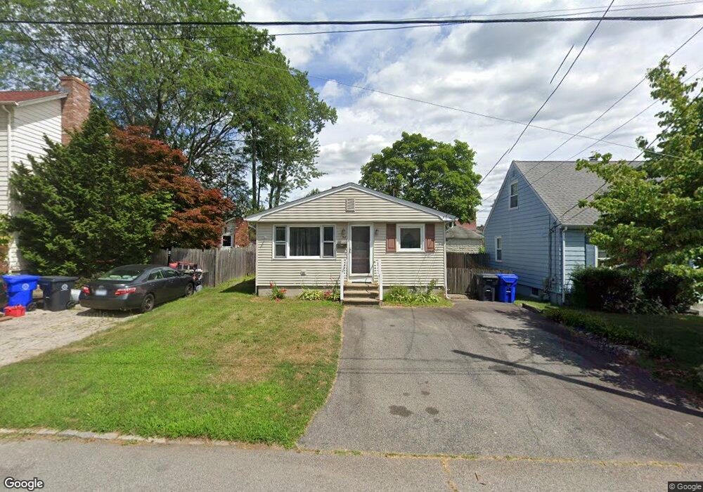
38 Sumach Ave Riverside, RI 02915
Kent Heights NeighborhoodEstimated Value: $285,000 - $348,816
2
Beds
1
Bath
864
Sq Ft
$352/Sq Ft
Est. Value
About This Home
This home is located at 38 Sumach Ave, Riverside, RI 02915 and is currently estimated at $303,954, approximately $351 per square foot. 38 Sumach Ave is a home located in Providence County with nearby schools including East Providence High School, The Gordon School, and St Mary Academy-Bay View.
Ownership History
Date
Name
Owned For
Owner Type
Purchase Details
Closed on
May 30, 2025
Sold by
Sinapi Joyce
Bought by
Amaral Timothy E
Current Estimated Value
Home Financials for this Owner
Home Financials are based on the most recent Mortgage that was taken out on this home.
Original Mortgage
$278,072
Outstanding Balance
$277,121
Interest Rate
6.83%
Mortgage Type
FHA
Estimated Equity
$26,833
Purchase Details
Closed on
Nov 9, 2024
Sold by
Amaral Donna J
Bought by
Naylor Debra J and Sinapi Joyce
Create a Home Valuation Report for This Property
The Home Valuation Report is an in-depth analysis detailing your home's value as well as a comparison with similar homes in the area
Home Values in the Area
Average Home Value in this Area
Purchase History
| Date | Buyer | Sale Price | Title Company |
|---|---|---|---|
| Amaral Timothy E | $284,000 | None Available | |
| Amaral Timothy E | $284,000 | None Available | |
| Naylor Debra J | -- | None Available | |
| Naylor Debra J | -- | None Available | |
| Naylor Debra J | -- | None Available |
Source: Public Records
Mortgage History
| Date | Status | Borrower | Loan Amount |
|---|---|---|---|
| Open | Amaral Timothy E | $278,072 | |
| Closed | Amaral Timothy E | $278,072 |
Source: Public Records
Tax History Compared to Growth
Tax History
| Year | Tax Paid | Tax Assessment Tax Assessment Total Assessment is a certain percentage of the fair market value that is determined by local assessors to be the total taxable value of land and additions on the property. | Land | Improvement |
|---|---|---|---|---|
| 2025 | $4,398 | $336,500 | $115,600 | $220,900 |
| 2024 | $4,368 | $284,900 | $96,400 | $188,500 |
| 2023 | $4,205 | $284,900 | $96,400 | $188,500 |
| 2022 | $3,769 | $172,400 | $52,400 | $120,000 |
| 2021 | $3,707 | $172,400 | $51,500 | $120,900 |
| 2020 | $3,550 | $172,400 | $51,500 | $120,900 |
| 2019 | $3,451 | $172,400 | $51,500 | $120,900 |
| 2018 | $3,585 | $156,700 | $52,600 | $104,100 |
| 2017 | $3,505 | $156,700 | $52,600 | $104,100 |
| 2016 | $3,488 | $156,700 | $52,600 | $104,100 |
| 2015 | $3,259 | $142,000 | $46,400 | $95,600 |
| 2014 | $3,259 | $142,000 | $46,400 | $95,600 |
Source: Public Records
Map
Nearby Homes
- 108 Ivan Ave
- 53 Wampanoag Trail
- 10 Fairfield Ave
- 59 Merritt Rd
- 36 Gerald St
- 180 Grassmere Ave
- 25 Ide Ave
- 87 Vincent Ave
- 14 Waterview Ave Unit 16
- 50 Kettle Point Ave Unit 50
- 74 Brookhaven Dr
- 740 Veterans Memorial Pkwy
- 1463 S Broadway
- 26 Mayflower St
- 132 S Rose St
- 75 Belmont Ave
- 3421 Pawtucket Ave
- 17 Brown St Unit 19
- 6 Fuller Ave
- 400 Juniper St Unit A
- 42 Sumach Ave
- 34 Sumach Ave
- 36 Sumach Ave
- 48 Sumach Ave
- 45 Sumach Ave
- 49 Sumach Ave
- 28 Sumach Ave
- 45 Buckthorne Ave
- 37 Sumach Ave
- 29 Buckthorne Ave
- 51 Buckthorne Ave
- 51 Buckthorne Ave Unit Apartment 2
- 31 Sumach Ave
- 54 Sumach Ave
- 55 Sumach Ave
- 18 Sumach Ave
- 27 Buckthorne Ave
- 55 Buckthorne Ave
- 450 Dover Ave
- 19 Sumach Ave