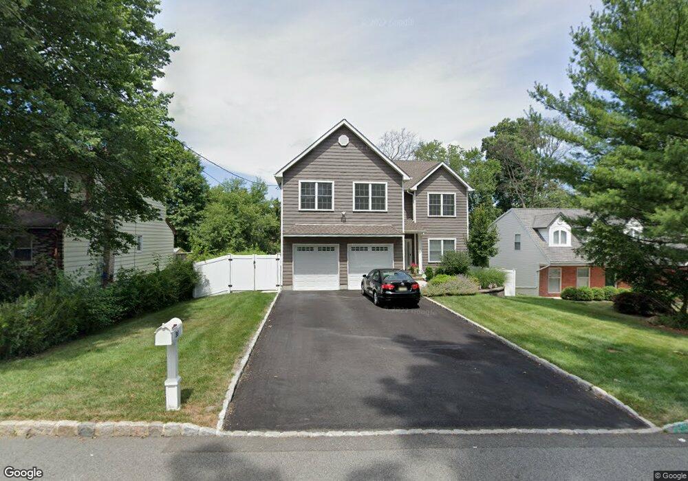
38 Summit Ave Cedar Knolls, NJ 07927
Estimated Value: $954,005 - $1,235,000
Studio
--
Bath
2,818
Sq Ft
$384/Sq Ft
Est. Value
About This Home
This home is located at 38 Summit Ave, Cedar Knolls, NJ 07927 and is currently estimated at $1,082,251, approximately $384 per square foot. 38 Summit Ave is a home located in Morris County with nearby schools including Whippany Park High School, Unity Charter School, and Allegro School.
Ownership History
Date
Name
Owned For
Owner Type
Purchase Details
Closed on
Jul 3, 2018
Sold by
34 Sherman Llc
Bought by
Richardi Brian and Richardi Lindsay
Current Estimated Value
Home Financials for this Owner
Home Financials are based on the most recent Mortgage that was taken out on this home.
Original Mortgage
$673,020
Outstanding Balance
$583,272
Interest Rate
4.5%
Mortgage Type
New Conventional
Estimated Equity
$498,979
Purchase Details
Closed on
May 25, 2017
Sold by
Waldron Shawn and Waldron Lisa J
Bought by
34 Sherman Llc
Purchase Details
Closed on
Aug 17, 2016
Sold by
Wacks Edward and Wright Robert R
Bought by
Waldron Lisa J and Waldron Shawn
Home Financials for this Owner
Home Financials are based on the most recent Mortgage that was taken out on this home.
Interest Rate
3.45%
Create a Home Valuation Report for This Property
The Home Valuation Report is an in-depth analysis detailing your home's value as well as a comparison with similar homes in the area
Home Values in the Area
Average Home Value in this Area
Purchase History
| Date | Buyer | Sale Price | Title Company |
|---|---|---|---|
| Richardi Brian | $747,800 | Old Republic Title Ins Co | |
| 34 Sherman Llc | $239,000 | None Available | |
| Waldron Lisa J | -- | -- |
Source: Public Records
Mortgage History
| Date | Status | Borrower | Loan Amount |
|---|---|---|---|
| Open | Richardi Brian | $673,020 | |
| Previous Owner | Waldron Lisa J | -- |
Source: Public Records
Tax History
| Year | Tax Paid | Tax Assessment Tax Assessment Total Assessment is a certain percentage of the fair market value that is determined by local assessors to be the total taxable value of land and additions on the property. | Land | Improvement |
|---|---|---|---|---|
| 2025 | $13,523 | $631,600 | $202,100 | $429,500 |
| 2024 | $13,352 | $631,600 | $202,100 | $429,500 |
Source: Public Records
Map
Nearby Homes
- 29 S Belair Ave
- 20 Farview Ave
- 15 S Belair Ave
- 104 Ridgedale Ave
- 83 Mountain Ave
- 275 Malapardis Rd
- 17 Frederick Place
- 231 Vista Dr
- 5 Cherry St
- 4 Ash Cir
- 10 Cedar Run
- 23 Locust Dr
- 68 Fairchild Place
- 17 Veterans Way
- 2903 Appleton Way Unit 2903
- 14 Coogan Ct
- 601 Monroe Ct
- 201 Monroe Ct
- 125 Park Ave
- 612 Lopez Ln
Your Personal Tour Guide
Ask me questions while you tour the home.