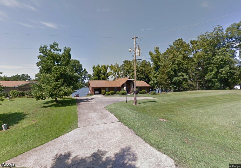
38 Sunset Cir Lincoln, AL 35096
Estimated Value: $230,000 - $466,000
--
Bed
1
Bath
2,164
Sq Ft
$173/Sq Ft
Est. Value
About This Home
This home is located at 38 Sunset Cir, Lincoln, AL 35096 and is currently estimated at $374,157, approximately $172 per square foot. 38 Sunset Cir is a home located in Talladega County.
Ownership History
Date
Name
Owned For
Owner Type
Purchase Details
Closed on
Aug 20, 2024
Sold by
Self Ronald E and Self Roger M
Bought by
Stewart Phillip R and Stewart Tina
Current Estimated Value
Home Financials for this Owner
Home Financials are based on the most recent Mortgage that was taken out on this home.
Original Mortgage
$387,600
Outstanding Balance
$383,281
Interest Rate
6.95%
Mortgage Type
New Conventional
Estimated Equity
-$9,124
Purchase Details
Closed on
Feb 6, 2019
Sold by
Self W E W and Self Evelyn L
Bought by
Self W E W and Self Evelyn L
Create a Home Valuation Report for This Property
The Home Valuation Report is an in-depth analysis detailing your home's value as well as a comparison with similar homes in the area
Home Values in the Area
Average Home Value in this Area
Purchase History
| Date | Buyer | Sale Price | Title Company |
|---|---|---|---|
| Stewart Phillip R | $408,000 | None Listed On Document | |
| Self W E W | $252,000 | Gaines Gaines Pc | |
| Self W E W | $252,000 | Gaines Gaines Pc |
Source: Public Records
Mortgage History
| Date | Status | Borrower | Loan Amount |
|---|---|---|---|
| Open | Stewart Phillip R | $387,600 |
Source: Public Records
Tax History Compared to Growth
Tax History
| Year | Tax Paid | Tax Assessment Tax Assessment Total Assessment is a certain percentage of the fair market value that is determined by local assessors to be the total taxable value of land and additions on the property. | Land | Improvement |
|---|---|---|---|---|
| 2024 | $1,206 | $31,750 | $10,650 | $21,100 |
| 2023 | $1,206 | $31,750 | $10,650 | $21,100 |
| 2022 | $890 | $31,220 | $10,470 | $20,750 |
| 2021 | $667 | $24,470 | $9,100 | $15,370 |
| 2020 | $667 | $24,740 | $0 | $0 |
| 2019 | $667 | $24,740 | $0 | $0 |
| 2018 | $682 | $25,200 | $0 | $0 |
| 2017 | $682 | $25,200 | $0 | $0 |
| 2016 | $687 | $25,200 | $0 | $0 |
| 2015 | $676 | $25,040 | $0 | $0 |
| 2014 | $682 | $25,200 | $0 | $0 |
| 2013 | -- | $25,200 | $0 | $0 |
Source: Public Records
Map
Nearby Homes
- 0 Riverbend Ln Unit 21411351
- 12493 Stemley Rd Unit 30 acres
- 44164 U S 78 Unit 106
- 3008 Blue Eye Rd
- 3007 Blue Eye Rd
- 11635 Stemley Rd
- ROANOKE Plan at Clear Springs
- DUPONT Plan at Clear Springs
- CABOT Plan at Clear Springs
- ESSEX Plan at Clear Springs
- BEAUMONT Plan at Clear Springs
- 161 Driftwood Ln
- 8 River Grass Dr
- 121 River Grass Dr
- 115 Eastland Way
- RC Belmont Plan at Driftwood Townhomes
- 139 Driftwood Ln
- 63 River Rock St
- 53 River Rock St
- 39 River Rock St
- 52 Sunset Cir
- 68 Sunset Cir
- 0 Sunset Cir
- 0 Sunset Cir Unit 455157
- 682 Blue Eye Rd W
- 0 Blue Eye Rd W Unit 792640
- 0 Blue Eye Rd W
- 502 Blue Eye Rd W
- 11 Sunset Cir
- 91 Sunset Cir
- 654 Blue Eye Rd W
- 158 Sunset Cir
- 624 Blue Eye Rd W
- 624 Blue Eye Rd W Unit 1
- 624 Blue Eye Springs Rd Unit 1
- 624 Blue Eye Springs Rd Unit 624
- 606 Blue Eye Rd W
- 127 Sunset Cir
- 137 Sunset Cir
- 504 Blue Eye Rd W