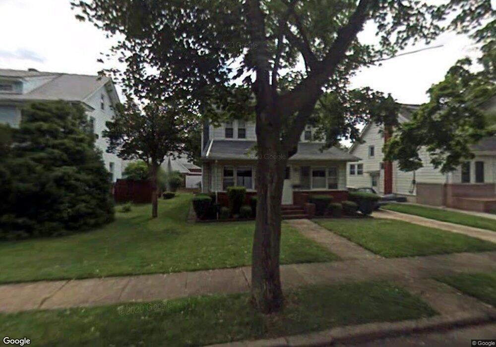
38 Taft Ave Lynbrook, NY 11563
Estimated Value: $637,000 - $722,018
--
Bed
2
Baths
1,619
Sq Ft
$420/Sq Ft
Est. Value
About This Home
This home is located at 38 Taft Ave, Lynbrook, NY 11563 and is currently estimated at $679,509, approximately $419 per square foot. 38 Taft Ave is a home located in Nassau County with nearby schools including Lynbrook Senior High School, Our Lady Of Peace School, and Holy Name of Mary School.
Ownership History
Date
Name
Owned For
Owner Type
Purchase Details
Closed on
Jan 4, 2022
Sold by
Maniaci Nicholas D and Maniaci Melania
Bought by
Maniaci Nicholas D
Current Estimated Value
Purchase Details
Closed on
Jan 24, 2017
Sold by
Dispigno Philip and Miller Grace
Bought by
Maniaci Nicholas D and Maniaci Melania
Home Financials for this Owner
Home Financials are based on the most recent Mortgage that was taken out on this home.
Original Mortgage
$200,000
Interest Rate
4.32%
Mortgage Type
New Conventional
Purchase Details
Closed on
Nov 10, 2005
Sold by
Dispigno Lena
Purchase Details
Closed on
Oct 26, 2005
Sold by
Dispigno Lena
Create a Home Valuation Report for This Property
The Home Valuation Report is an in-depth analysis detailing your home's value as well as a comparison with similar homes in the area
Home Values in the Area
Average Home Value in this Area
Purchase History
| Date | Buyer | Sale Price | Title Company |
|---|---|---|---|
| Maniaci Nicholas D | $178,104 | None Available | |
| Maniaci Nicholas D | $347,500 | Stewart Title Insurance Comp | |
| -- | -- | -- | |
| -- | -- | -- |
Source: Public Records
Mortgage History
| Date | Status | Borrower | Loan Amount |
|---|---|---|---|
| Previous Owner | Maniaci Nicholas D | $200,000 |
Source: Public Records
Tax History Compared to Growth
Tax History
| Year | Tax Paid | Tax Assessment Tax Assessment Total Assessment is a certain percentage of the fair market value that is determined by local assessors to be the total taxable value of land and additions on the property. | Land | Improvement |
|---|---|---|---|---|
| 2025 | $11,167 | $484 | $186 | $298 |
| 2024 | $1,053 | $505 | $194 | $311 |
| 2023 | $10,017 | $507 | $195 | $312 |
| 2022 | $10,017 | $526 | $202 | $324 |
| 2021 | $14,276 | $532 | $205 | $327 |
| 2020 | $9,420 | $521 | $312 | $209 |
| 2019 | $8,062 | $674 | $403 | $271 |
| 2018 | $9,660 | $894 | $0 | $0 |
| 2017 | $1,687 | $894 | $535 | $359 |
| 2016 | $2,295 | $894 | $535 | $359 |
| 2015 | $548 | $894 | $535 | $359 |
| 2014 | $548 | $894 | $535 | $359 |
| 2013 | $492 | $894 | $535 | $359 |
Source: Public Records
Map
Nearby Homes
- 232 Sherman St
- 33 Marshall Ave
- 67 Burtis St
- 11 Wood St
- 60 Harvard Ave
- 504 Merrick Rd Unit 4J
- 504 Merrick Rd Unit 4E
- 504 Merrick Rd Unit 2k
- 47 Wood St
- 59 Wood St
- 241 Hendrickson Ave
- 57 Nieman Ave
- 127 Smith St
- 29 Summit Ave
- 149 Foster Ave
- 95 Foster Ave
- 56 Whittier St
- 103 Smith St Unit 1
- 33 Cleveland St
- 12 Roxy Place