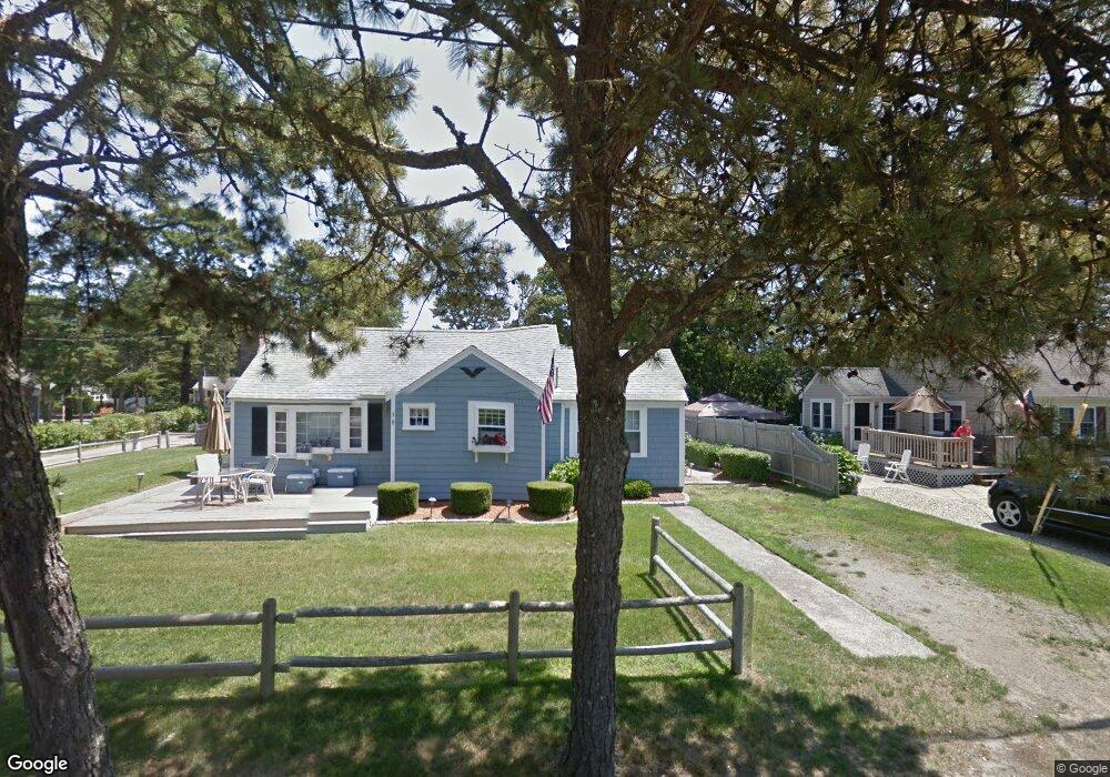
38 Uncle Rolf Rd Dennis Port, MA 02639
Dennis Port NeighborhoodEstimated Value: $484,000 - $661,000
2
Beds
1
Bath
654
Sq Ft
$898/Sq Ft
Est. Value
About This Home
This home is located at 38 Uncle Rolf Rd, Dennis Port, MA 02639 and is currently estimated at $587,105, approximately $897 per square foot. 38 Uncle Rolf Rd is a home located in Barnstable County with nearby schools including Dennis-Yarmouth Regional High School and St. Pius X. School.
Ownership History
Date
Name
Owned For
Owner Type
Purchase Details
Closed on
Jan 13, 2022
Sold by
Gavin Linda M
Bought by
Linda Marie Gavin Lt and Gavin
Current Estimated Value
Purchase Details
Closed on
Jun 26, 1986
Bought by
Gavin James F and Gavin Linda M
Create a Home Valuation Report for This Property
The Home Valuation Report is an in-depth analysis detailing your home's value as well as a comparison with similar homes in the area
Home Values in the Area
Average Home Value in this Area
Purchase History
| Date | Buyer | Sale Price | Title Company |
|---|---|---|---|
| Linda Marie Gavin Lt | -- | None Available | |
| Gavin James F | $135,000 | -- |
Source: Public Records
Mortgage History
| Date | Status | Borrower | Loan Amount |
|---|---|---|---|
| Previous Owner | Gavin James F | $112,898 | |
| Previous Owner | Gavin James F | $100,000 |
Source: Public Records
Tax History Compared to Growth
Tax History
| Year | Tax Paid | Tax Assessment Tax Assessment Total Assessment is a certain percentage of the fair market value that is determined by local assessors to be the total taxable value of land and additions on the property. | Land | Improvement |
|---|---|---|---|---|
| 2025 | $2,582 | $596,400 | $281,400 | $315,000 |
| 2024 | $2,378 | $541,600 | $270,700 | $270,900 |
| 2023 | $2,300 | $492,400 | $246,000 | $246,400 |
| 2022 | $2,082 | $371,700 | $193,900 | $177,800 |
| 2021 | $2,016 | $334,300 | $190,100 | $144,200 |
| 2020 | $1,957 | $320,900 | $190,100 | $130,800 |
| 2019 | $1,990 | $322,600 | $202,400 | $120,200 |
| 2018 | $1,914 | $301,900 | $192,700 | $109,200 |
| 2017 | $1,742 | $283,200 | $177,500 | $105,700 |
| 2016 | $1,682 | $257,600 | $167,300 | $90,300 |
| 2015 | $1,649 | $257,600 | $167,300 | $90,300 |
| 2014 | $1,572 | $247,500 | $157,200 | $90,300 |
Source: Public Records
Map
Nearby Homes
- 64 Beaten Rd
- 37 Ocean Dr Unit 2
- 154 Old Wharf Rd Unit 26
- 154 Old Wharf Rd Unit 14
- 112 Old Wharf Rd Unit E4
- 112 Old Wharf Rd Unit E1
- 120 Old Wharf Rd Unit 11
- 217 Old Wharf Rd Unit 64
- 241 Old Wharf Rd Unit 82
- 241 Old Wharf Rd Unit 127
- 241 Old Wharf Rd Unit 90
- 262 Old Wharf Rd Unit 67
- 262 Old Wharf Rd Unit 5
- 262 Old Wharf Rd Unit 5
- 262 Old Wharf Rd Unit 20
- 262 Old Wharf Rd Unit 87
- 31 Easy St
- 37 Beach Hills Rd
- 80 Michaels Ave
- 37-A Beach Hills Rd
- 153 Captain Chase Rd
- 42 Uncle Rolf Rd
- 32 Uncle Rolf Rd
- 157 Captain Chase Rd
- 149 Captain Chase Rd
- 176 Capt Chase U1 Rd Unit 1
- 176 Capt Chase U6 Rd Unit 6
- 37 Uncle Rolf Rd
- 174 Capt Chase Rd Unit 1
- 33 Uncle Rolf Rd
- 39 Uncle Rolf Rd
- 161-163 Captain Chase Rd
- 191 Capt Chase Rd Unit 3
- 191 Capt Chase Rd
- 191 Capt Chase Rd Unit 2
- 41 Uncle Rolf Rd
- 44 Uncle Rolf Rd
- 31 Uncle Rolf Rd
- 30 Uncle Rolf Rd
- 150 Captain Chase Rd