Estimated Value: $1,144,000 - $1,735,000
3
Beds
3
Baths
3,581
Sq Ft
$411/Sq Ft
Est. Value
About This Home
This home is located at 38 Waterview Rd, Gray, ME 04039 and is currently estimated at $1,470,455, approximately $410 per square foot. 38 Waterview Rd is a home located in Cumberland County with nearby schools including Gray-New Gloucester High School.
Ownership History
Date
Name
Owned For
Owner Type
Purchase Details
Closed on
Aug 14, 2012
Sold by
Post John R and Post Gail T
Bought by
38 Waterview Llc
Current Estimated Value
Purchase Details
Closed on
Jan 11, 2012
Sold by
Post Gail T
Bought by
Post John R
Purchase Details
Closed on
Apr 10, 2009
Sold by
Post John R
Bought by
Post Gail T
Home Financials for this Owner
Home Financials are based on the most recent Mortgage that was taken out on this home.
Original Mortgage
$417,000
Interest Rate
4.94%
Mortgage Type
Unknown
Create a Home Valuation Report for This Property
The Home Valuation Report is an in-depth analysis detailing your home's value as well as a comparison with similar homes in the area
Home Values in the Area
Average Home Value in this Area
Purchase History
| Date | Buyer | Sale Price | Title Company |
|---|---|---|---|
| 38 Waterview Llc | -- | -- | |
| Post John R | -- | -- | |
| Post Gail T | -- | -- |
Source: Public Records
Mortgage History
| Date | Status | Borrower | Loan Amount |
|---|---|---|---|
| Previous Owner | Post Gail T | $417,000 | |
| Previous Owner | Post Gail T | $174,600 |
Source: Public Records
Tax History Compared to Growth
Tax History
| Year | Tax Paid | Tax Assessment Tax Assessment Total Assessment is a certain percentage of the fair market value that is determined by local assessors to be the total taxable value of land and additions on the property. | Land | Improvement |
|---|---|---|---|---|
| 2025 | $13,294 | $1,373,300 | $653,600 | $719,700 |
| 2024 | $13,321 | $1,373,300 | $653,600 | $719,700 |
| 2023 | $12,000 | $790,500 | $326,800 | $463,700 |
| 2022 | $11,027 | $790,500 | $326,800 | $463,700 |
| 2021 | $10,884 | $745,000 | $326,800 | $418,200 |
| 2020 | $10,989 | $745,000 | $326,800 | $418,200 |
| 2019 | $10,989 | $745,000 | $326,800 | $418,200 |
| 2018 | $10,430 | $745,000 | $326,800 | $418,200 |
| 2017 | $10,169 | $563,400 | $191,000 | $372,400 |
| 2016 | $10,310 | $563,400 | $191,000 | $372,400 |
| 2015 | $10,254 | $563,400 | $191,000 | $372,400 |
| 2014 | $10,254 | $563,400 | $191,000 | $372,400 |
| 2012 | $8,930 | $563,397 | $191,020 | $372,377 |
Source: Public Records
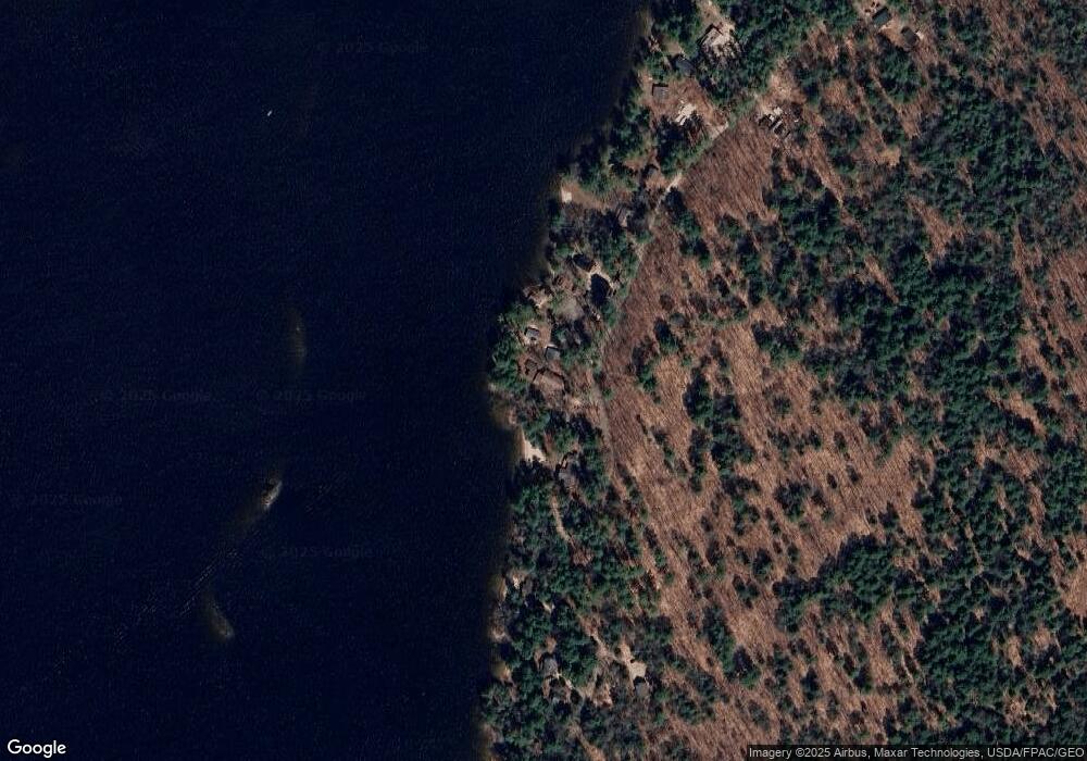
Map
Nearby Homes
- 8 Lily Ln
- 15 Worcester Dr
- 80 Sky Dr
- 219 Tandberg Trail
- 7 Baxter Woods Trail
- 2 Gore Rd
- 1 Chipmunk Dr
- lot #8 Bedrock Terrace
- 99 Enterprise Dr
- 14 Emerson Dr
- 5 Stagecoach Ln
- 20 Bittersweet Way
- 1 Matinicus Way Unit 1
- 36 Whites Bridge Rd Unit 8
- 18 Ramsdell Rd
- 20 Buckfield Dr
- 20 Ramsdell Rd
- 19 Abby Rd
- 11 Belvedere Dr
- 34 Trails End Rd
- 36 Waterview Rd
- 40 Waterview Rd
- 34 Waterview Rd
- 32 Waterview Rd
- 42 Waterview Rd
- 28 Waterview Rd
- 26 Waterview Rd
- 49 Abrahamson Rd
- 24 Waterview Rd
- - Waterview Rd
- 41 Abrahamson Rd
- 42 Abrahamson Rd
- 39 Abrahamson Rd
- 20 Waterview Rd
- 18 Waterview Rd
- 33 Abrahamson Rd
- 17 Waterview Rd
- 31 Abrahamson Rd
- 16 Waterview Rd
- 45 Knudsen Rd