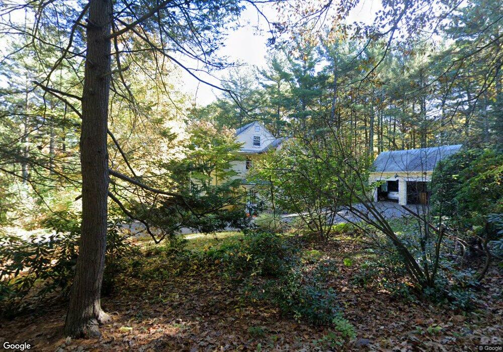
38 Webster Rd Weston, MA 02493
Estimated Value: $1,985,000 - $2,482,000
4
Beds
3
Baths
2,748
Sq Ft
$834/Sq Ft
Est. Value
About This Home
This home is located at 38 Webster Rd, Weston, MA 02493 and is currently estimated at $2,292,605, approximately $834 per square foot. 38 Webster Rd is a home located in Middlesex County with nearby schools including Country Elementary School, Woodland Elementary School, and Field Elementary School.
Ownership History
Date
Name
Owned For
Owner Type
Purchase Details
Closed on
Jun 23, 1988
Sold by
Mcmullin Anne F
Bought by
Pappone Michael J
Current Estimated Value
Home Financials for this Owner
Home Financials are based on the most recent Mortgage that was taken out on this home.
Original Mortgage
$775,000
Interest Rate
10.32%
Mortgage Type
Purchase Money Mortgage
Create a Home Valuation Report for This Property
The Home Valuation Report is an in-depth analysis detailing your home's value as well as a comparison with similar homes in the area
Home Values in the Area
Average Home Value in this Area
Purchase History
| Date | Buyer | Sale Price | Title Company |
|---|---|---|---|
| Pappone Michael J | $775,000 | -- |
Source: Public Records
Mortgage History
| Date | Status | Borrower | Loan Amount |
|---|---|---|---|
| Open | Pappone Michael J | $350,000 | |
| Closed | Pappone Michael J | $775,000 |
Source: Public Records
Tax History
| Year | Tax Paid | Tax Assessment Tax Assessment Total Assessment is a certain percentage of the fair market value that is determined by local assessors to be the total taxable value of land and additions on the property. | Land | Improvement |
|---|---|---|---|---|
| 2025 | $21,634 | $1,949,000 | $1,414,900 | $534,100 |
| 2024 | $21,414 | $1,925,700 | $1,414,900 | $510,800 |
| 2023 | $22,077 | $1,864,600 | $1,414,900 | $449,700 |
| 2022 | $22,160 | $1,729,900 | $1,348,700 | $381,200 |
| 2021 | $21,408 | $1,649,300 | $1,285,700 | $363,600 |
| 2020 | $20,809 | $1,621,900 | $1,285,700 | $336,200 |
| 2019 | $20,367 | $1,617,700 | $1,285,700 | $332,000 |
| 2018 | $4,755 | $1,617,700 | $1,285,700 | $332,000 |
| 2017 | $20,059 | $1,617,700 | $1,285,700 | $332,000 |
| 2016 | $19,671 | $1,617,700 | $1,285,700 | $332,000 |
| 2015 | $19,007 | $1,547,800 | $1,225,100 | $322,700 |
Source: Public Records
Map
Nearby Homes
- 81 Montvale Rd
- 173 Conant Rd
- 183 Conant Rd
- 55 Forest Ridge Rd
- 100 Bradford Rd
- 11 Hillcrest Rd
- 40 Bakers Hill Rd
- 59 Bradyll Rd
- 11 Winthrop Cir
- 35 Bemis St
- 15 Myles Standish Rd
- 151 Lexington St
- 8 Keach Terrace
- 8 Hidden Rd
- 14 Westland Rd
- 416 Conant Rd
- 183 Kings Grant Rd
- 15 Flagg Cir
- 76 Robin Rd
- 30 Warren Ave
- 11 Webster Rd
- 60 Webster Rd
- 49 Webster Rd
- 49 Webster Rd
- 37 Webster Rd
- 8 Saddle Hill Rd
- 64 Webster Rd
- 27 Saddle Hill Rd
- 29 Webster Rd
- 16 Saddle Hill Rd
- 154 Church St
- 74 Webster Rd
- 7 Gypsy Trail
- 26 Saddle Hill Rd
- 36 Saddle Hill Rd
- 78 Webster Rd
- 153 Church St
- 83 Webster Rd
- 77 Pinecroft Rd
- 33 Saddle Hill Rd
Your Personal Tour Guide
Ask me questions while you tour the home.