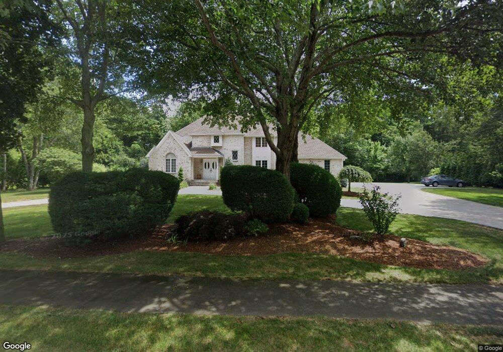
38 Westchester Dr Canton, MA 02021
Estimated Value: $1,421,000 - $1,744,000
4
Beds
5
Baths
4,171
Sq Ft
$362/Sq Ft
Est. Value
About This Home
This home is located at 38 Westchester Dr, Canton, MA 02021 and is currently estimated at $1,511,147, approximately $362 per square foot. 38 Westchester Dr is a home located in Norfolk County with nearby schools including Canton High School and St. John the Evangelist School.
Ownership History
Date
Name
Owned For
Owner Type
Purchase Details
Closed on
Aug 27, 2004
Sold by
Tong Wan K and Tong Yim L
Bought by
Goldstein Jonathan M and Goldstein Shari M
Current Estimated Value
Home Financials for this Owner
Home Financials are based on the most recent Mortgage that was taken out on this home.
Original Mortgage
$370,000
Interest Rate
6.02%
Mortgage Type
Purchase Money Mortgage
Purchase Details
Closed on
Oct 25, 1989
Sold by
Ambrose Dev Corp
Bought by
Tong Wan K
Create a Home Valuation Report for This Property
The Home Valuation Report is an in-depth analysis detailing your home's value as well as a comparison with similar homes in the area
Home Values in the Area
Average Home Value in this Area
Purchase History
| Date | Buyer | Sale Price | Title Company |
|---|---|---|---|
| Goldstein Jonathan M | $830,000 | -- | |
| Tong Wan K | $125,000 | -- |
Source: Public Records
Mortgage History
| Date | Status | Borrower | Loan Amount |
|---|---|---|---|
| Open | Tong Wan K | $417,052 | |
| Closed | Tong Wan K | $417,000 | |
| Closed | Goldstein Jonathan M | $370,000 | |
| Previous Owner | Tong Wan K | $162,000 |
Source: Public Records
Tax History Compared to Growth
Tax History
| Year | Tax Paid | Tax Assessment Tax Assessment Total Assessment is a certain percentage of the fair market value that is determined by local assessors to be the total taxable value of land and additions on the property. | Land | Improvement |
|---|---|---|---|---|
| 2025 | $13,126 | $1,327,200 | $360,500 | $966,700 |
| 2024 | $12,731 | $1,276,900 | $346,700 | $930,200 |
| 2023 | $12,019 | $1,137,100 | $346,700 | $790,400 |
| 2022 | $11,980 | $1,055,500 | $330,200 | $725,300 |
| 2021 | $11,557 | $947,300 | $300,100 | $647,200 |
| 2020 | $11,055 | $903,900 | $285,900 | $618,000 |
| 2019 | $10,917 | $880,400 | $259,800 | $620,600 |
| 2018 | $10,802 | $869,700 | $272,500 | $597,200 |
| 2017 | $10,914 | $853,300 | $267,200 | $586,100 |
| 2016 | $10,750 | $840,500 | $260,700 | $579,800 |
| 2015 | $10,401 | $811,300 | $253,100 | $558,200 |
Source: Public Records
Map
Nearby Homes
- 55 Old County Way
- 214 Turnpike St
- 7 Edward St
- 40 Randolph St
- 240 York St
- 19 Cynthia Rd
- 3 Spotted Turtle Path Unit 24-2
- 11 Redman Rd
- 35 Turnpike St
- 8 Talbot Rd
- 25 Kelly Way Unit 25
- 1 Ridgehill Rd
- Lot 0 York St
- 30 Green Lodge St
- 1457 Washington St
- 1603 Irving Rd
- 232 Canton St Unit 104
- 232 Canton St Unit 205
- 232 Canton St Unit 112
- 1307 Irving Rd
- 38 Weschester Dr
- 50 Westchester Dr
- 30 Westchester Dr
- 45 Westchester Dr
- 735 Randolph St
- 735 Randolph St
- 20 Westchester Dr
- 25 Westchester Dr
- 15 Stratford Rd
- 10 Kensington Dr
- 65 Westchester Dr
- 20 Kensington Dr
- 5 Stratford Rd
- 30 Kensington Dr
- 20 Stratford Rd
- 15 Westchester Dr
- 10 Westchester Dr
- 40 Kensington Dr
- 75 Westchester Dr
- 25 Stratford Rd