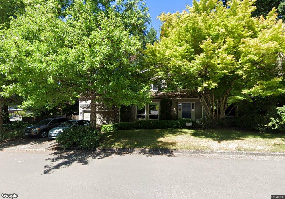
38 Westridge Dr Lake Oswego, OR 97034
Westridge NeighborhoodEstimated Value: $1,052,000 - $1,407,000
4
Beds
3
Baths
3,130
Sq Ft
$373/Sq Ft
Est. Value
About This Home
This home is located at 38 Westridge Dr, Lake Oswego, OR 97034 and is currently estimated at $1,168,444, approximately $373 per square foot. 38 Westridge Dr is a home located in Clackamas County with nearby schools including Lakeridge Middle School, Lakeridge High School, and The Children's Hour Academy.
Ownership History
Date
Name
Owned For
Owner Type
Purchase Details
Closed on
Jan 3, 1996
Sold by
Liss James M and Liss Christina U
Bought by
Martin Richard B and Martin Chyrelle D
Current Estimated Value
Home Financials for this Owner
Home Financials are based on the most recent Mortgage that was taken out on this home.
Original Mortgage
$165,000
Outstanding Balance
$3,372
Interest Rate
7.36%
Estimated Equity
$1,165,072
Create a Home Valuation Report for This Property
The Home Valuation Report is an in-depth analysis detailing your home's value as well as a comparison with similar homes in the area
Home Values in the Area
Average Home Value in this Area
Purchase History
| Date | Buyer | Sale Price | Title Company |
|---|---|---|---|
| Martin Richard B | $255,500 | Oregon Title Insurance Co |
Source: Public Records
Mortgage History
| Date | Status | Borrower | Loan Amount |
|---|---|---|---|
| Open | Martin Richard B | $165,000 |
Source: Public Records
Tax History Compared to Growth
Tax History
| Year | Tax Paid | Tax Assessment Tax Assessment Total Assessment is a certain percentage of the fair market value that is determined by local assessors to be the total taxable value of land and additions on the property. | Land | Improvement |
|---|---|---|---|---|
| 2025 | $10,476 | $546,704 | -- | -- |
| 2024 | $9,833 | $511,861 | -- | -- |
| 2023 | $9,833 | $496,953 | $0 | $0 |
| 2022 | $9,261 | $482,479 | $0 | $0 |
| 2021 | $8,553 | $468,427 | $0 | $0 |
| 2020 | $8,338 | $454,784 | $0 | $0 |
| 2019 | $8,133 | $441,538 | $0 | $0 |
| 2018 | $7,734 | $428,678 | $0 | $0 |
| 2017 | $7,462 | $416,192 | $0 | $0 |
| 2016 | $6,793 | $404,070 | $0 | $0 |
| 2015 | $6,563 | $392,301 | $0 | $0 |
| 2014 | $6,376 | $380,875 | $0 | $0 |
Source: Public Records
Map
Nearby Homes
- 17677 Westview Dr
- 18300 Bryant Rd
- 12 Dover Way
- 18706 Bryant Rd
- 18100 Bryant Rd
- 17901 Hillside Dr
- 17210 Cedar Rd
- 17810 Sarah Hill Ln
- 4023 Melissa Dr
- 18815 Hilltop Rd
- 17035 Westview Dr
- 17367 Canal Cir
- 4280 Bernard St
- 4123 Chad Dr
- 19229 35th Place
- 4224 Haven St
- 2627 Park Rd
- 2306 Mayors Ln
- 16636 Maple Cir
- 4241 Cobb Way