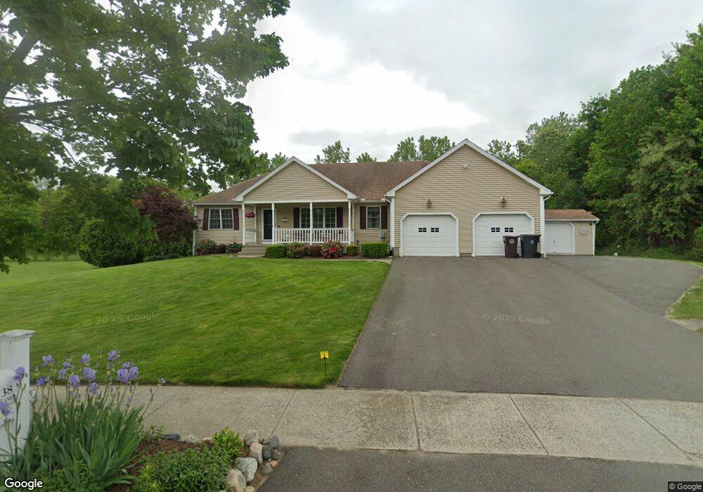
38 Willow Brook Ln Westfield, MA 01085
Estimated Value: $494,000 - $616,000
3
Beds
2
Baths
1,902
Sq Ft
$288/Sq Ft
Est. Value
About This Home
This home is located at 38 Willow Brook Ln, Westfield, MA 01085 and is currently estimated at $548,142, approximately $288 per square foot. 38 Willow Brook Ln is a home located in Hampden County with nearby schools including Westfield High School and Saint Mary High School.
Ownership History
Date
Name
Owned For
Owner Type
Purchase Details
Closed on
Sep 18, 2009
Sold by
Stovall Leroy
Bought by
Thompson Brian C and Thompson Debra L
Current Estimated Value
Home Financials for this Owner
Home Financials are based on the most recent Mortgage that was taken out on this home.
Original Mortgage
$164,000
Outstanding Balance
$107,745
Interest Rate
5.28%
Mortgage Type
Purchase Money Mortgage
Estimated Equity
$440,397
Purchase Details
Closed on
May 24, 2006
Sold by
Marber Llc and Bergeron Marc T
Bought by
Stovall Leroy and Stovall Eugenia
Home Financials for this Owner
Home Financials are based on the most recent Mortgage that was taken out on this home.
Original Mortgage
$288,400
Interest Rate
6.53%
Mortgage Type
Purchase Money Mortgage
Create a Home Valuation Report for This Property
The Home Valuation Report is an in-depth analysis detailing your home's value as well as a comparison with similar homes in the area
Home Values in the Area
Average Home Value in this Area
Purchase History
| Date | Buyer | Sale Price | Title Company |
|---|---|---|---|
| Thompson Brian C | $205,000 | -- | |
| Stovall Leroy | $360,500 | -- |
Source: Public Records
Mortgage History
| Date | Status | Borrower | Loan Amount |
|---|---|---|---|
| Open | Thompson Brian C | $164,000 | |
| Previous Owner | Stovall Leroy | $288,400 | |
| Previous Owner | Stovall Leroy | $72,100 |
Source: Public Records
Tax History Compared to Growth
Tax History
| Year | Tax Paid | Tax Assessment Tax Assessment Total Assessment is a certain percentage of the fair market value that is determined by local assessors to be the total taxable value of land and additions on the property. | Land | Improvement |
|---|---|---|---|---|
| 2025 | $7,265 | $478,600 | $152,800 | $325,800 |
| 2024 | $7,426 | $465,000 | $139,200 | $325,800 |
| 2023 | $7,082 | $432,400 | $132,600 | $299,800 |
| 2022 | $7,082 | $383,000 | $118,200 | $264,800 |
| 2021 | $6,867 | $363,700 | $111,700 | $252,000 |
| 2020 | $6,786 | $352,500 | $111,700 | $240,800 |
| 2019 | $6,637 | $337,400 | $106,500 | $230,900 |
| 2018 | $6,532 | $337,400 | $106,500 | $230,900 |
| 2017 | $6,385 | $328,800 | $107,800 | $221,000 |
| 2016 | $6,392 | $328,800 | $107,800 | $221,000 |
| 2015 | $6,322 | $341,000 | $107,800 | $233,200 |
| 2014 | $4,733 | $341,000 | $107,800 | $233,200 |
Source: Public Records
Map
Nearby Homes
- 148 Prospect Street Extension
- 14 Pinewood Ln
- 70 Yeoman Ave
- 291 Pochassic Rd
- 10 Day Lily Ln
- 13 Furrow St
- 8 Ellis St
- 10 Ethan Ave
- 49 Pochassic St
- 77 Orange St
- 113 Franklin St
- Lot 3 Montgomery
- 52 Orange St
- 324 Russell Rd Unit 204
- 324 Russell Rd Unit 101
- 28 Orange St
- 4 Columbia St
- 13 King Place
- 194 Lockhouse Rd
- 28 Union St
- 34 Willow Brook Ln
- 28 Willow Brook Ln
- 35 Willow Brook Ln
- 92 Kane Brothers Cir
- 46 Willow Brook Ln
- 88 Kane Brothers Cir
- 42 Willow Brook Ln
- 24 Willow Brook Ln
- 39 Willow Brook Ln
- 29 Willow Brook Ln
- 82 Kane Brothers Cir
- 98 Kane Brothers Cir
- 47 Willow Brook Ln
- 43 Willow Brook Ln
- 50 Willow Brook Ln
- 76 Kane Brothers Cir
- 102 Kane Brothers Cir
- 25 Willow Brook Ln
- 16 Willow Brook Ln
- 72 Kane Brothers Cir