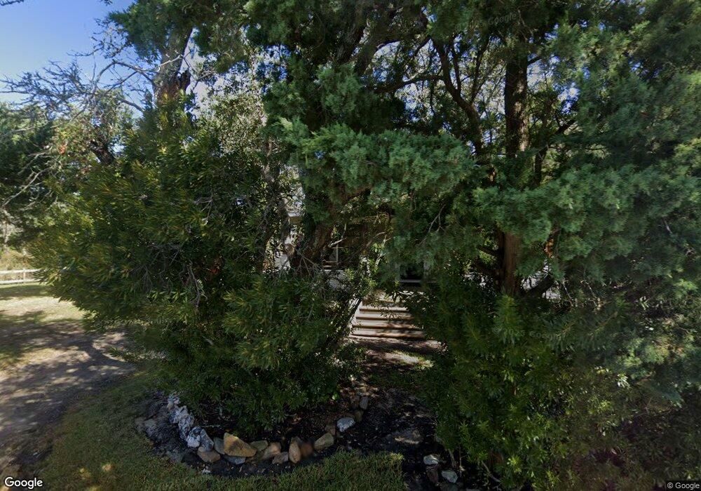
380 Back Rd Unit A & B Ocracoke, NC 27960
Estimated Value: $591,000 - $707,842
3
Beds
2
Baths
1,560
Sq Ft
$423/Sq Ft
Est. Value
About This Home
This home is located at 380 Back Rd Unit A & B, Ocracoke, NC 27960 and is currently estimated at $660,281, approximately $423 per square foot. 380 Back Rd Unit A & B is a home located in Hyde County with nearby schools including Ocracoke School.
Ownership History
Date
Name
Owned For
Owner Type
Purchase Details
Closed on
Aug 7, 2024
Sold by
Gregor Zachary and Gregor Torei
Bought by
Shinn Frank J and Shinn Donna M
Current Estimated Value
Purchase Details
Closed on
Aug 29, 2022
Sold by
Hargrove Jr David G
Bought by
Gregor Zachary
Home Financials for this Owner
Home Financials are based on the most recent Mortgage that was taken out on this home.
Original Mortgage
$517,500
Interest Rate
5.51%
Mortgage Type
New Conventional
Purchase Details
Closed on
Jul 14, 2022
Sold by
Jennifer Hargrove
Bought by
Hargrove David G
Home Financials for this Owner
Home Financials are based on the most recent Mortgage that was taken out on this home.
Original Mortgage
$517,500
Interest Rate
5.51%
Mortgage Type
New Conventional
Create a Home Valuation Report for This Property
The Home Valuation Report is an in-depth analysis detailing your home's value as well as a comparison with similar homes in the area
Home Values in the Area
Average Home Value in this Area
Purchase History
| Date | Buyer | Sale Price | Title Company |
|---|---|---|---|
| Shinn Frank J | $699,000 | None Listed On Document | |
| Gregor Zachary | $575,000 | Dixon & Dixon Law Offices Pllc | |
| Hargrove David G | -- | None Listed On Document |
Source: Public Records
Mortgage History
| Date | Status | Borrower | Loan Amount |
|---|---|---|---|
| Previous Owner | Gregor Zachary | $517,500 |
Source: Public Records
Tax History Compared to Growth
Tax History
| Year | Tax Paid | Tax Assessment Tax Assessment Total Assessment is a certain percentage of the fair market value that is determined by local assessors to be the total taxable value of land and additions on the property. | Land | Improvement |
|---|---|---|---|---|
| 2024 | $5,289 | $574,917 | $310,500 | $264,417 |
| 2023 | $4,887 | $454,905 | $200,000 | $254,905 |
| 2022 | $4,186 | $467,676 | $200,000 | $267,676 |
| 2021 | $3,718 | $467,676 | $200,000 | $267,676 |
| 2020 | $1,209 | $153,000 | $153,000 | $0 |
| 2019 | $1,209 | $153,000 | $153,000 | $0 |
| 2018 | $1,193 | $153,000 | $153,000 | $0 |
| 2017 | $1,437 | $221,000 | $221,000 | $0 |
| 2016 | $1,437 | $221,000 | $221,000 | $0 |
| 2015 | -- | $0 | $0 | $0 |
| 2014 | -- | $0 | $0 | $0 |
| 2012 | -- | $0 | $0 | $0 |
Source: Public Records
Map
Nearby Homes
- 58 Howard St
- 27 Miss Elecia Ln
- 446 and 448 Irvin Garrish Hwy Unit A
- 260 Irvin Garrish Hwy Unit 10
- 45 Ocean Rd Unit D
- 690 Irvin Garrish Hwy Unit Lot 2A
- 45 Lumpys Rd Unit Lot 3
- 205 Irvin Garrish Hwy Unit 201
- 52 Cabana Dr Unit Lot 25
- 105 Sanddollar Rd Unit Lot 28
- 180 Irvin Garrish Hwy Unit 602
- 180 Irvin Garrish Hwy Unit 404
- 180 Irvin Garrish Hwy Unit 601
- 180 Irvin Garrish Hwy Unit 309
- 180 Irvin Garrish Hwy Unit 308
- 180 Irvin Garrish Hwy Unit 307/308
- TBD Sand Dollar Rd Unit Lot 35
- 164 Lighthouse Rd Unit Lot 1
- 106 Cedar Rd Unit Lot 84 & 85
- 52 Fish Camp Ln Unit Lot 94& p95