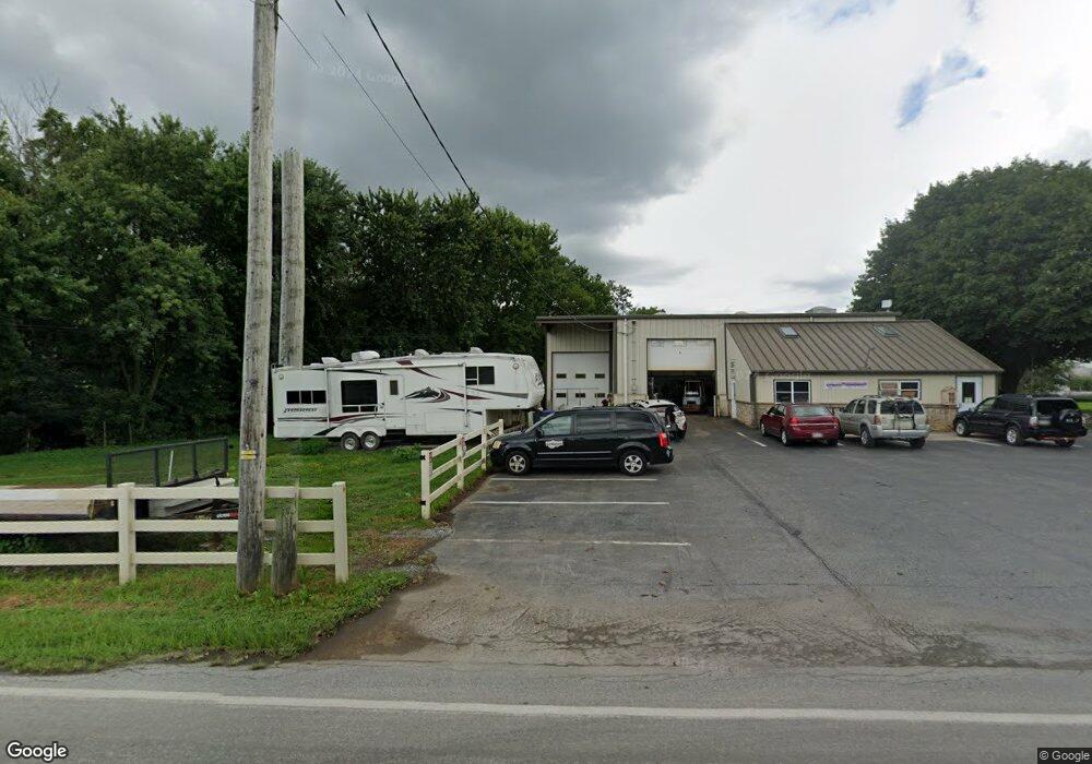
380 Beechdale Rd Bird In Hand, PA 17505
Estimated Value: $478,000
6
Beds
2
Baths
13,328
Sq Ft
$36/Sq Ft
Est. Value
About This Home
This home is located at 380 Beechdale Rd, Bird In Hand, PA 17505 and is currently priced at $478,000, approximately $35 per square foot. 380 Beechdale Rd is a home located in Lancaster County with nearby schools including Smoketown Elementary School, Gerald G. Huesken Middle School, and Conestoga Valley High School.
Ownership History
Date
Name
Owned For
Owner Type
Purchase Details
Closed on
Dec 22, 2016
Sold by
Beiler Andrew K and Beiler Martha K
Bought by
Beiler Andrew K and Beiler Martha K
Current Estimated Value
Home Financials for this Owner
Home Financials are based on the most recent Mortgage that was taken out on this home.
Original Mortgage
$960,000
Interest Rate
3.57%
Mortgage Type
Future Advance Clause Open End Mortgage
Purchase Details
Closed on
Oct 6, 2016
Sold by
Beler Amos K and Beller Sarall K
Bought by
Beiler Amos K and Beiler Sarah K
Create a Home Valuation Report for This Property
The Home Valuation Report is an in-depth analysis detailing your home's value as well as a comparison with similar homes in the area
Home Values in the Area
Average Home Value in this Area
Purchase History
| Date | Buyer | Sale Price | Title Company |
|---|---|---|---|
| Beiler Andrew K | -- | Attorney | |
| Beiler Amos K | -- | Attorney | |
| Beiler Amos K | -- | None Available | |
| Beiler Andrew K | -- | Attorney |
Source: Public Records
Mortgage History
| Date | Status | Borrower | Loan Amount |
|---|---|---|---|
| Closed | Beiler Andrew K | $960,000 |
Source: Public Records
Tax History Compared to Growth
Tax History
| Year | Tax Paid | Tax Assessment Tax Assessment Total Assessment is a certain percentage of the fair market value that is determined by local assessors to be the total taxable value of land and additions on the property. | Land | Improvement |
|---|---|---|---|---|
| 2025 | $30,162 | $1,489,800 | $159,800 | $1,330,000 |
| 2024 | $30,162 | $1,489,800 | $159,800 | $1,330,000 |
| 2023 | $29,464 | $1,489,800 | $159,800 | $1,330,000 |
| 2022 | $28,731 | $1,489,800 | $159,800 | $1,330,000 |
| 2021 | $27,718 | $1,489,800 | $159,800 | $1,330,000 |
| 2020 | $27,718 | $1,489,800 | $159,800 | $1,330,000 |
| 2019 | $25,660 | $1,409,500 | $159,800 | $1,249,700 |
| 2018 | $37,566 | $1,409,500 | $159,800 | $1,249,700 |
| 2016 | $5,071 | $237,100 | $77,400 | $159,700 |
| 2015 | $1,296 | $237,100 | $77,400 | $159,700 |
| 2014 | $3,421 | $237,100 | $77,400 | $159,700 |
Source: Public Records
Map
Nearby Homes
- 339 Enterprise Dr
- 323 Enterprise Dr
- 2596 Old Philadelphia Pike
- 425 Mill Creek Rd
- 2498 Old Philadelphia Park
- 103 Fairhill Dr
- 2453 Lincoln Hwy E
- 7 Pleasant Dr
- 2472 Leaman Rd
- 439 Coreopsis Dr
- 305 Greenland Dr Unit 385
- 347 Greenland Dr
- 70 Hellers Church Rd
- 68 Horseshoe Rd
- 33 Black Oak Dr
- 71 Apricot Ave
- 37 Black Oak Dr
- 71 Black Oak Dr Unit 71
- 26 Ruth Dr
- 1999 Old Philadelphia Pike
- 404 Beechdale Rd
- 404 Beechdale Rd
- 414 Beechdale Rd
- 346 Beechdale Rd
- 347 Enterprise Dr
- 343 Enterprise Dr
- 351 Enterprise Dr
- 331 Enterprise Dr
- 355 Enterprise Dr
- 327 Enterprise Dr
- 350 Enterprise Dr
- 340 Enterprise Dr
- 338 Beechdale Rd
- 338 Beechdale Rd Unit 28
- 357 Enterprise Dr
- LOT #11 Enterprise Dr
- 336 Enterprise Dr
- 332 Enterprise Dr
- 328 Enterprise Dr
- 360 Enterprise Dr