380 Brandy Brow Rd Haverhill, MA 01830
East Parish NeighborhoodEstimated Value: $657,000 - $751,000
3
Beds
2
Baths
1,672
Sq Ft
$410/Sq Ft
Est. Value
About This Home
This home is located at 380 Brandy Brow Rd, Haverhill, MA 01830 and is currently estimated at $685,665, approximately $410 per square foot. 380 Brandy Brow Rd is a home located in Essex County with nearby schools including Pentucket Lake Elementary School.
Ownership History
Date
Name
Owned For
Owner Type
Purchase Details
Closed on
Jan 17, 2002
Sold by
North Ave Rt and Weinstein King
Bought by
Carreiro Richard and Carreiro Janet
Current Estimated Value
Create a Home Valuation Report for This Property
The Home Valuation Report is an in-depth analysis detailing your home's value as well as a comparison with similar homes in the area
Home Values in the Area
Average Home Value in this Area
Purchase History
| Date | Buyer | Sale Price | Title Company |
|---|---|---|---|
| Carreiro Richard | $90,000 | -- |
Source: Public Records
Mortgage History
| Date | Status | Borrower | Loan Amount |
|---|---|---|---|
| Open | Carreiro Richard | $50,000 | |
| Open | Carreiro Richard | $378,900 | |
| Closed | Carreiro Richard | $285,000 |
Source: Public Records
Tax History Compared to Growth
Tax History
| Year | Tax Paid | Tax Assessment Tax Assessment Total Assessment is a certain percentage of the fair market value that is determined by local assessors to be the total taxable value of land and additions on the property. | Land | Improvement |
|---|---|---|---|---|
| 2025 | $6,746 | $629,900 | $238,100 | $391,800 |
| 2024 | $6,481 | $609,100 | $235,900 | $373,200 |
| 2023 | $5,955 | $534,100 | $203,300 | $330,800 |
| 2022 | $5,813 | $457,000 | $192,400 | $264,600 |
| 2021 | $5,547 | $412,700 | $170,600 | $242,100 |
| 2020 | $5,459 | $401,400 | $170,600 | $230,800 |
| 2019 | $5,295 | $379,600 | $148,800 | $230,800 |
| 2018 | $5,032 | $352,900 | $140,100 | $212,800 |
| 2017 | $5,158 | $344,100 | $135,700 | $208,400 |
| 2016 | $4,711 | $306,700 | $105,200 | $201,500 |
| 2015 | $4,708 | $306,700 | $105,200 | $201,500 |
Source: Public Records
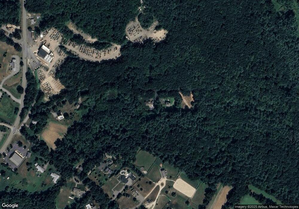
Map
Nearby Homes
- 98 Sweet Hill Rd
- 135 Forrest St Unit 10
- 135 Forrest St Unit 4
- 14 Corliss Hill Rd
- 80 Margerie St
- 55 Sweet Hill Rd
- 531 Amesbury Rd
- 80 Brandy Brow Rd
- 18 Horizon Way
- 17 Horizon Way
- 7 Squaw Creek Dr
- 3 W Parish Ln
- 1 White Cedar Way Unit 1
- 3 Noyes Ln
- 5 Wentworth Dr
- 15 Canterbury Forest Unit B
- 28 Forrest St
- 15 Bootland Farm Rd
- 116 Crosby St
- 440 North Ave Unit 60
- 378 Brandy Brow Rd
- 141 Corliss Hill Rd
- 392 Brandy Brow Rd
- 147 Corliss Hill Rd
- 0 Corliss Hill
- 151 Corliss Hill Rd
- 153 Corliss Hill Rd
- 143 Corliss Hill Rd
- 143 Corliss Hill Rd Unit 1
- 154 Corliss Hill Rd
- 146 Corliss Hill Rd
- 75 Newton Rd
- 129 Corliss Hill Rd
- 150 Corliss Hill Rd
- 136 Corliss Hill Rd
- 144 Corliss Hill Rd
- 123 Corliss Hill Rd
- 85 Newton Rd
- 73 Newton Rd Unit 201
- 73 Newton Rd Unit 105