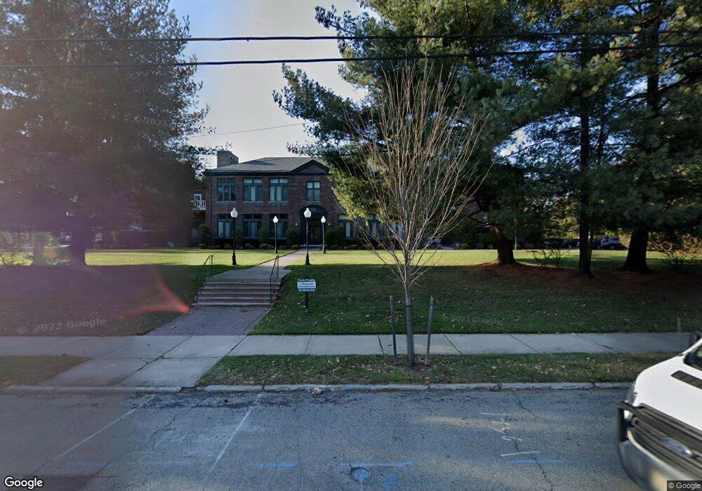
380 Broad Ave Unit 1E Englewood, NJ 07631
Estimated Value: $573,000 - $715,000
3
Beds
2
Baths
1,539
Sq Ft
$400/Sq Ft
Est. Value
About This Home
This home is located at 380 Broad Ave Unit 1E, Englewood, NJ 07631 and is currently estimated at $615,148, approximately $399 per square foot. 380 Broad Ave Unit 1E is a home located in Bergen County with nearby schools including Dr J Grieco Elementary School, Dr Mccloud Elementary School, and J.E. Dismus Middle School.
Ownership History
Date
Name
Owned For
Owner Type
Purchase Details
Closed on
Dec 8, 2020
Sold by
Saal Matthew I
Bought by
Krischner Steven D and Krischner Shulie L
Current Estimated Value
Purchase Details
Closed on
Nov 26, 2001
Sold by
Stiefel Marcella
Bought by
Saal Matthew
Home Financials for this Owner
Home Financials are based on the most recent Mortgage that was taken out on this home.
Original Mortgage
$272,000
Interest Rate
7.08%
Purchase Details
Closed on
Sep 24, 1993
Sold by
Javna Realty Associates Lp
Bought by
Stiefel Marcella and Stiefel Elia
Create a Home Valuation Report for This Property
The Home Valuation Report is an in-depth analysis detailing your home's value as well as a comparison with similar homes in the area
Home Values in the Area
Average Home Value in this Area
Purchase History
| Date | Buyer | Sale Price | Title Company |
|---|---|---|---|
| Krischner Steven D | $407,000 | Prestige Title Agency Inc | |
| Saal Matthew | $340,000 | -- | |
| Stiefel Marcella | $189,000 | -- |
Source: Public Records
Mortgage History
| Date | Status | Borrower | Loan Amount |
|---|---|---|---|
| Previous Owner | Saal Matthew | $272,000 |
Source: Public Records
Tax History Compared to Growth
Tax History
| Year | Tax Paid | Tax Assessment Tax Assessment Total Assessment is a certain percentage of the fair market value that is determined by local assessors to be the total taxable value of land and additions on the property. | Land | Improvement |
|---|---|---|---|---|
| 2025 | $10,964 | $356,800 | $225,000 | $131,800 |
| 2024 | $10,633 | $356,800 | $225,000 | $131,800 |
| 2023 | $10,522 | $356,800 | $225,000 | $131,800 |
| 2022 | $10,522 | $356,800 | $225,000 | $131,800 |
| 2021 | $9,951 | $356,800 | $225,000 | $131,800 |
| 2020 | $10,044 | $356,800 | $225,000 | $131,800 |
| 2019 | $9,951 | $356,800 | $225,000 | $131,800 |
| 2018 | $9,712 | $356,800 | $225,000 | $131,800 |
| 2017 | $9,423 | $356,800 | $225,000 | $131,800 |
| 2016 | $9,123 | $356,800 | $225,000 | $131,800 |
| 2015 | $9,045 | $356,800 | $225,000 | $131,800 |
| 2014 | $8,970 | $356,800 | $225,000 | $131,800 |
Source: Public Records
Map
Nearby Homes
- 384 Audubon Rd
- 229 Allison Ct
- 135 Rockwood Place
- 285 Arch Rd
- 129 Phelps Ave
- 105B Meadowbrook Rd
- 290 Van Nostrand Ave
- 300 Van Nostrand Ave
- 306 Hutchinson Rd
- 24 Gentry Dr
- 9 Hedgerow Dr Unit 61
- 100 Knapp Place
- 67 Knapp Place
- 267 E Linden Ave
- 32 Fox Run Dr
- 54 Fox Run Dr Unit 25
- 181 Lakeview Ave
- 292 Maple St
- 800 Grand Ave
- 285 Maple St
- 380 Broad Ave Unit 2C
- 380 Broad Ave Unit 2E
- 380 Broad Ave Unit 1H
- 380 Broad Ave Unit 2D
- 380 Broad Ave Unit 2A
- 380 Broad Ave Unit 1F
- 380 Broad Ave Unit M
- 380 Broad Ave Unit L
- 380 Broad Ave Unit K
- 380 Broad Ave Unit J
- 380 Broad Ave Unit 2H
- 380 Broad Ave Unit 1G
- 380 Broad Ave Unit 2F
- 380 Broad Ave Unit 1D
- 380 Broad Ave Unit 1A
- 380 Broad Ave Unit 1C
- 380 Broad Ave Unit 2B
- 380 Broad Ave Unit 1B
- 380 Broad Ave
- 171 Van Nostrand Ave