380 Burnt Factory Rd Stephenson, VA 22656
Stephenson NeighborhoodEstimated Value: $612,000 - $1,299,209
4
Beds
3
Baths
3,192
Sq Ft
$299/Sq Ft
Est. Value
About This Home
This home is located at 380 Burnt Factory Rd, Stephenson, VA 22656 and is currently estimated at $955,605, approximately $299 per square foot. 380 Burnt Factory Rd is a home located in Frederick County with nearby schools including Stonewall Elementary School, James Wood Middle School, and Millbrook High School.
Ownership History
Date
Name
Owned For
Owner Type
Purchase Details
Closed on
Jan 8, 2025
Sold by
Hott Jordan
Bought by
Davis Ryan and Davis Amanda
Current Estimated Value
Purchase Details
Closed on
Mar 9, 2021
Sold by
Hott David Robert and Virts Sarah Catherine
Bought by
Hott Jessica Anne and Hott Jennifer Carson
Create a Home Valuation Report for This Property
The Home Valuation Report is an in-depth analysis detailing your home's value as well as a comparison with similar homes in the area
Home Values in the Area
Average Home Value in this Area
Purchase History
| Date | Buyer | Sale Price | Title Company |
|---|---|---|---|
| Davis Ryan | $190,000 | Fidelity National Title | |
| Davis Ryan | $190,000 | Fidelity National Title | |
| Hott Jessica Anne | -- | None Available |
Source: Public Records
Tax History Compared to Growth
Tax History
| Year | Tax Paid | Tax Assessment Tax Assessment Total Assessment is a certain percentage of the fair market value that is determined by local assessors to be the total taxable value of land and additions on the property. | Land | Improvement |
|---|---|---|---|---|
| 2025 | $4,463 | $929,880 | $347,100 | $582,780 |
| 2024 | $1,864 | $731,100 | $275,000 | $456,100 |
| 2023 | $3,729 | $731,100 | $275,000 | $456,100 |
| 2022 | $4,480 | $734,500 | $366,200 | $368,300 |
| 2021 | $4,377 | $734,500 | $366,200 | $368,300 |
| 2020 | $4,107 | $673,200 | $349,200 | $324,000 |
| 2019 | $3,832 | $628,200 | $349,200 | $279,000 |
| 2018 | $3,719 | $609,700 | $349,200 | $260,500 |
| 2017 | $3,658 | $609,700 | $349,200 | $260,500 |
| 2016 | -- | $352,000 | $334,000 | $18,000 |
| 2015 | -- | $352,000 | $334,000 | $18,000 |
| 2014 | -- | $352,000 | $334,000 | $18,000 |
Source: Public Records
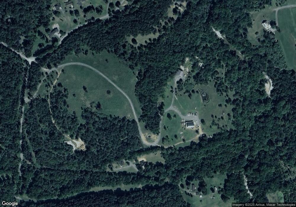
Map
Nearby Homes
- 136 Rose Hill Ln
- 100 Taylor Ct
- 108 Pomo Ln
- 106 Pomo Ln
- 104 Pomo Ln
- 102 Pomo Ln
- 100 Pomo Ln
- 230 Munsee Cir
- HAYDEN Plan at Retreat at Winding Creek - Single Family
- ELM Plan at Retreat at Winding Creek - Single Family
- DELMAR Plan at Retreat at Winding Creek - Townhomes
- CABRAL Plan at Retreat at Winding Creek - Single Family
- PINE Plan at Retreat at Winding Creek - Single Family
- ADAMS Plan at Retreat at Winding Creek - Townhomes
- DEERFIELD Plan at Retreat at Winding Creek - Single Family
- SALEM Plan at Retreat at Winding Creek - Single Family
- 107 Mascouten St
- 111 Mascouten St
- 113 Mascouten St
- 117 Mascouten St
- 228 Burnt Factory Rd
- 230 Burnt Factory Rd
- 224 Burnt Factory Rd
- 520 Burnt Factory Rd
- 197 Neill Rd
- 191 Neill Rd
- 522 Burnt Factory Rd
- 433 Burnt Factory Rd
- 423 Burnt Factory Rd
- 550 Burnt Factory Rd
- 461 Burnt Factory Rd
- 385 Burnt Factory Rd
- 529 Burnt Factory Rd
- 405 Burnt Factory Rd
- 395 Burnt Factory Rd
- 473 Pine Rd
- 831 Wrights Mill Rd
- 566 Burnt Factory Rd
- 451 Pine Rd
- 2853 Berryville Pike