380 Calvert Rd Salisbury, NC 28146
Estimated Value: $684,000 - $901,000
--
Bed
4
Baths
2,290
Sq Ft
$359/Sq Ft
Est. Value
About This Home
This home is located at 380 Calvert Rd, Salisbury, NC 28146 and is currently estimated at $823,236, approximately $359 per square foot. 380 Calvert Rd is a home located in Rowan County with nearby schools including Morgan Elementary School, Charles C Erwin Middle School, and East Rowan High School.
Ownership History
Date
Name
Owned For
Owner Type
Purchase Details
Closed on
Mar 27, 2017
Sold by
Jack A Calvert Revocable Declaration Of
Bought by
Lanier Stanley D and Michael Lanier Molly C
Current Estimated Value
Home Financials for this Owner
Home Financials are based on the most recent Mortgage that was taken out on this home.
Original Mortgage
$500,000
Outstanding Balance
$415,619
Interest Rate
4.17%
Mortgage Type
New Conventional
Estimated Equity
$407,617
Purchase Details
Closed on
Mar 6, 2013
Sold by
Calvert Jack A
Bought by
Calvert Jack A
Create a Home Valuation Report for This Property
The Home Valuation Report is an in-depth analysis detailing your home's value as well as a comparison with similar homes in the area
Home Values in the Area
Average Home Value in this Area
Purchase History
| Date | Buyer | Sale Price | Title Company |
|---|---|---|---|
| Lanier Stanley D | $650,000 | None Available | |
| Calvert Jack A | -- | None Available |
Source: Public Records
Mortgage History
| Date | Status | Borrower | Loan Amount |
|---|---|---|---|
| Open | Lanier Stanley D | $500,000 |
Source: Public Records
Tax History Compared to Growth
Tax History
| Year | Tax Paid | Tax Assessment Tax Assessment Total Assessment is a certain percentage of the fair market value that is determined by local assessors to be the total taxable value of land and additions on the property. | Land | Improvement |
|---|---|---|---|---|
| 2025 | $4,859 | $736,259 | $236,250 | $500,009 |
| 2024 | $4,859 | $736,259 | $236,250 | $500,009 |
| 2023 | $4,859 | $736,259 | $236,250 | $500,009 |
| 2022 | $4,607 | $624,700 | $245,025 | $379,675 |
| 2021 | $4,443 | $624,700 | $245,025 | $379,675 |
| 2020 | $4,443 | $624,700 | $245,025 | $379,675 |
| 2019 | $4,443 | $624,700 | $245,025 | $379,675 |
| 2018 | $4,142 | $587,169 | $213,300 | $373,869 |
| 2017 | $4,142 | $587,169 | $213,300 | $373,869 |
| 2016 | $4,142 | $587,169 | $213,300 | $373,869 |
| 2015 | $4,207 | $587,169 | $213,300 | $373,869 |
| 2014 | $4,242 | $603,698 | $213,300 | $390,398 |
Source: Public Records
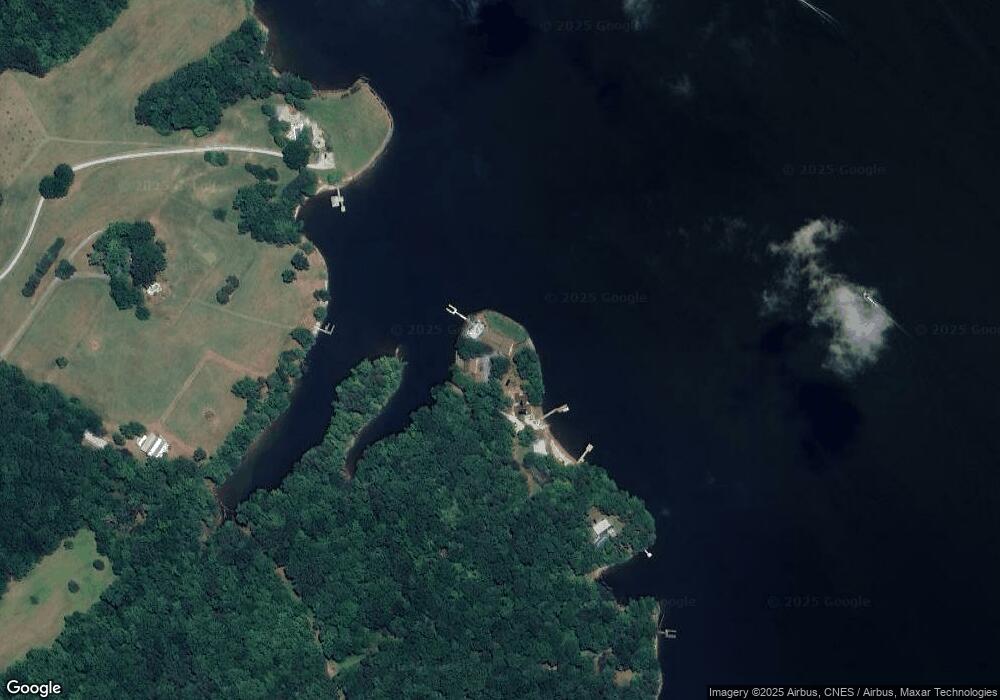
Map
Nearby Homes
- 260 Knollwood Dr
- 1438 Beckner Rd
- 1112 Riverwood Dr
- 1136 Riverwood Dr
- 340 Topsail Rd
- 1851 Waterford Pointe Rd
- 1851 Waterford Pointe Rd Unit 38
- 160 Dockside Dr
- 255 Topsail Rd
- 2034 Waterford Pointe Rd
- 125 Shortsail Rd
- 1180 Riverview Road Extension
- 00 File Rd
- 295 Mainsail Rd
- 285 Mainsail Rd
- 356 Corvette Ln
- 456 Starboard Reach
- 1120 Starboard Reach
- 1047 Starboard Reach Unit 36
- 1047 Starboard Reach
- 370 Calvert Rd
- 360 Calvert Rd
- 350 Calvert Rd
- 280 Marion Brown Trail
- 320 Calvert Rd
- 270 Marion Brown Trail
- 265 Driftwood Trail
- 1020 Driftwood Trail
- 1090 Driftwood Trail
- 0 Willow Ln Unit 868067
- 0 Willow Ln Unit NULL R48819
- 275 Driftwood Trail
- 875 Beechcliff Ln
- 875 Beechcliff Ln
- 0 Calvert Rd
- 0 Calvert Rd Unit NULL R52031
- Lot 15 Willow Ln
- 110 Willow Ln
- 1050 Driftwood Trail
- 1030 Driftwood Trail