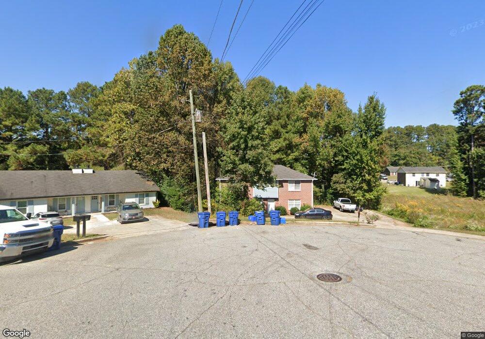
380 Charter Ct Unit 1 Lawrenceville, GA 30046
Estimated Value: $390,253 - $474,000
4
Beds
6
Baths
2,400
Sq Ft
$179/Sq Ft
Est. Value
About This Home
This home is located at 380 Charter Ct Unit 1, Lawrenceville, GA 30046 and is currently estimated at $430,313, approximately $179 per square foot. 380 Charter Ct Unit 1 is a home located in Gwinnett County with nearby schools including Margaret Winn Holt Elementary School, Moore Middle School, and Central Gwinnett High School.
Ownership History
Date
Name
Owned For
Owner Type
Purchase Details
Closed on
Oct 11, 2011
Sold by
Hull Robert J
Bought by
Ying Li Jing
Current Estimated Value
Purchase Details
Closed on
Aug 14, 2006
Sold by
Avant William E and Avant Wylene S
Bought by
Hull Robert J
Home Financials for this Owner
Home Financials are based on the most recent Mortgage that was taken out on this home.
Original Mortgage
$157,500
Interest Rate
7.12%
Mortgage Type
New Conventional
Purchase Details
Closed on
Apr 25, 1996
Sold by
Metro Land Dev Inv Corp
Bought by
Avant William E Wylene S
Create a Home Valuation Report for This Property
The Home Valuation Report is an in-depth analysis detailing your home's value as well as a comparison with similar homes in the area
Home Values in the Area
Average Home Value in this Area
Purchase History
| Date | Buyer | Sale Price | Title Company |
|---|---|---|---|
| Ying Li Jing | $55,000 | -- | |
| Hull Robert J | $175,000 | -- | |
| Avant William E Wylene S | $80,000 | -- |
Source: Public Records
Mortgage History
| Date | Status | Borrower | Loan Amount |
|---|---|---|---|
| Previous Owner | Hull Robert J | $157,500 | |
| Closed | Avant William E Wylene S | $0 |
Source: Public Records
Tax History Compared to Growth
Tax History
| Year | Tax Paid | Tax Assessment Tax Assessment Total Assessment is a certain percentage of the fair market value that is determined by local assessors to be the total taxable value of land and additions on the property. | Land | Improvement |
|---|---|---|---|---|
| 2024 | $3,926 | $122,680 | $19,440 | $103,240 |
| 2023 | $3,926 | $122,680 | $19,440 | $103,240 |
| 2022 | $2,183 | $133,800 | $19,440 | $114,360 |
| 2021 | $2,230 | $68,000 | $15,040 | $52,960 |
| 2020 | $2,432 | $68,000 | $15,040 | $52,960 |
| 2019 | $2,071 | $68,000 | $15,040 | $52,960 |
| 2018 | $1,494 | $42,760 | $12,240 | $30,520 |
| 2016 | $1,500 | $42,760 | $12,240 | $30,520 |
| 2015 | $1,292 | $36,346 | $7,752 | $28,594 |
| 2014 | -- | $42,760 | $9,120 | $33,640 |
Source: Public Records
Map
Nearby Homes
- 840 Cremins Rd
- 296 Grist Mill Ln
- 231 Sarah Ln
- 267 Firecreek Ridge
- 1024 Stone Mill Run
- 431 Thornbush Trace
- 792 Charleston Ct
- 140 Leigh Kay Dr
- 1097 Wildwood Ln
- 1085 Stone Mill Run
- 209 Mill Ridge Ct
- 707 Sherwood Dr
- 36 Hickory Ln
- 26 Hickory Ln
- 355 Ridgemont Dr
- 1279 Pecan Grove Place
- 210 Hanarry Dr Unit 4
- 85 Hickory Grove Ave
- 380 Charter Ct Unit 2
- 381 Charter Ct
- 401 Charter Ct Unit 1
- 400 Charter Ct
- 900 Lauren Kay Ct
- 460 Bedford Bay Ln
- 383 Charter Ct
- 410 Charter Ct
- 413 Charter Ct
- 470 Bedford Bay Ln
- 901 Lauren Kay Ct
- 450 Bedford Bay Ln
- 420 Charter Ct Unit 37
- 420 Charter Ct
- 442 Bedford Bay Ln
- 910 Lauren Kay Ct
- 421 Charter Ct
- 370 Bedford Bay Ln Unit 370/372
- 370 Bedford Bay Ln
- 453 Bedford Lane Bay