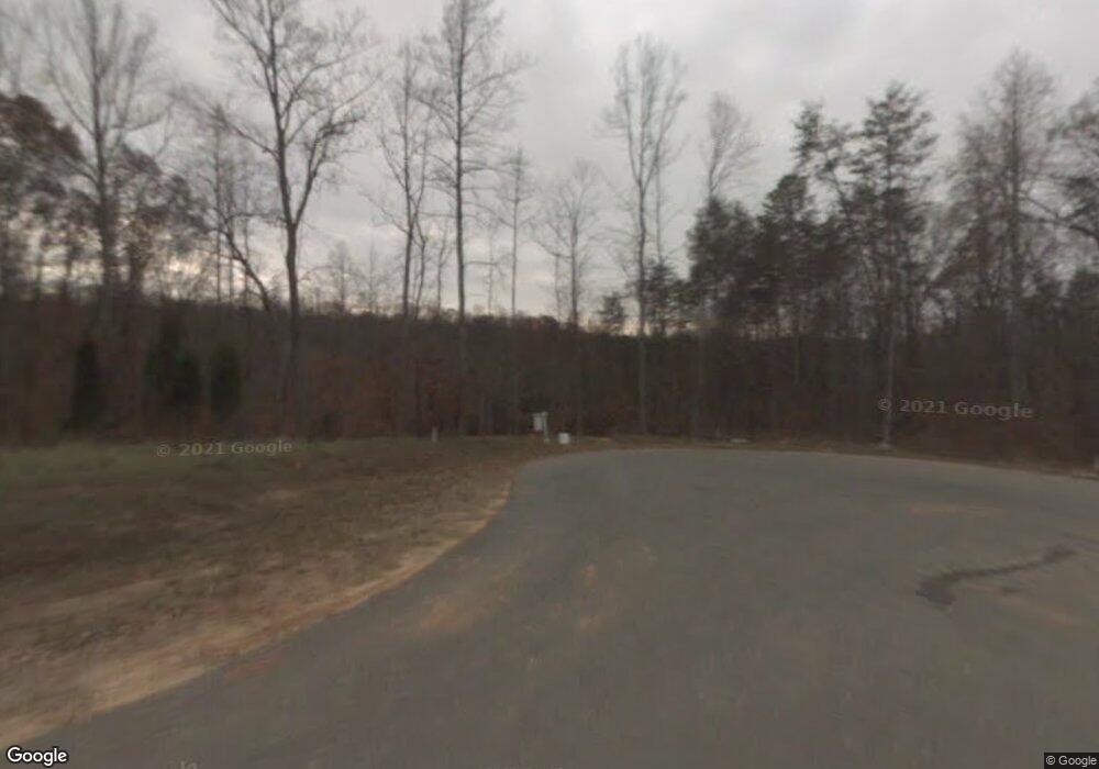
380 Crows Nest Dr Unit 27 Stokesdale, NC 27357
Estimated Value: $1,485,000 - $1,972,420
5
Beds
5
Baths
5,849
Sq Ft
$295/Sq Ft
Est. Value
About This Home
This home is located at 380 Crows Nest Dr Unit 27, Stokesdale, NC 27357 and is currently estimated at $1,725,473, approximately $295 per square foot. 380 Crows Nest Dr Unit 27 is a home located in Rockingham County with nearby schools including Huntsville Elementary School, John W. Dillard Academy, and Western Rockingham Middle School.
Ownership History
Date
Name
Owned For
Owner Type
Purchase Details
Closed on
Apr 4, 2019
Sold by
Dick George W
Bought by
Spencer Kevin M
Current Estimated Value
Home Financials for this Owner
Home Financials are based on the most recent Mortgage that was taken out on this home.
Original Mortgage
$780,000
Outstanding Balance
$666,502
Interest Rate
3%
Mortgage Type
Adjustable Rate Mortgage/ARM
Estimated Equity
$1,058,971
Create a Home Valuation Report for This Property
The Home Valuation Report is an in-depth analysis detailing your home's value as well as a comparison with similar homes in the area
Home Values in the Area
Average Home Value in this Area
Purchase History
| Date | Buyer | Sale Price | Title Company |
|---|---|---|---|
| Spencer Kevin M | $975,000 | None Available |
Source: Public Records
Mortgage History
| Date | Status | Borrower | Loan Amount |
|---|---|---|---|
| Open | Spencer Kevin M | $780,000 |
Source: Public Records
Tax History Compared to Growth
Tax History
| Year | Tax Paid | Tax Assessment Tax Assessment Total Assessment is a certain percentage of the fair market value that is determined by local assessors to be the total taxable value of land and additions on the property. | Land | Improvement |
|---|---|---|---|---|
| 2025 | $11,857 | $1,705,764 | $313,632 | $1,392,132 |
| 2024 | $11,292 | $1,705,764 | $313,632 | $1,392,132 |
| 2023 | $11,292 | $1,189,531 | $285,120 | $904,411 |
| 2022 | $9,278 | $1,189,531 | $285,120 | $904,411 |
| 2021 | $9,278 | $1,189,531 | $285,120 | $904,411 |
| 2020 | $9,278 | $1,189,531 | $285,120 | $904,411 |
| 2019 | $9,402 | $1,189,531 | $285,120 | $904,411 |
| 2018 | $8,581 | $1,082,830 | $315,960 | $766,870 |
| 2017 | $8,457 | $1,082,830 | $315,960 | $766,870 |
| 2015 | $8,706 | $1,082,830 | $315,960 | $766,870 |
| 2014 | $8,619 | $1,082,830 | $315,960 | $766,870 |
Source: Public Records
Map
Nearby Homes
- 255 Dionne Way
- 172 Keel Ct
- 3785 Ellisboro Rd
- 160 Belewsfield Rd
- 160 Belewsfield Rd
- 4035 Ellisboro Rd
- 155 Lakefield Rd
- 111 Jay Vonne Trail
- 344 Saddlebred Loop
- 213 Woodsong Dr
- 485 Saddlebred Loop
- 250 Deerfield Ct
- 154 Knight Farm Rd
- 148 Knight Farm Rd
- 139 Knight Farm Rd
- 2600 Gideon Grove Church Rd
- 1157 Simpson Rd
- 143 Knight Farm Rd
- 147 Knight Farm Rd
- 115 Knight Farm Rd
- 380 Crows Nest Dr
- 399 Crows Nest Dr
- 391 Crows Nest Dr
- 350 Crows Nest Dr
- 381 Crows Nest Dr
- 361 Crows Nest Dr
- 342 Crows Nest Dr
- Lot 46 Leeward Dr
- 161 Widows Walk Ct
- 158 Widows Walk Ct
- 131 Widows Walk Ct
- 250 Yardarm Ct
- 268 Yardarm Ct
- 230 Yardarm Ct
- 326 Crows Nest Dr
- 286 Yardarm Ct
- 121 Widows Walk Ct
- 64 Leeward Dr
- 298 Yardarm Ct
- Lot 36 Widows Walk Ct
