Studio
1
Bath
1,500
Sq Ft
322,780
Sq Ft
About This Home
This home is located at 380 E State Highway Cc Unit E-101, Nixa, MO 65714. 380 E State Highway Cc Unit E-101 is a home located in Christian County with nearby schools including High Pointe Elementary School, Summit Intermediate School, and Nixa Junior High School.
Ownership History
Date
Name
Owned For
Owner Type
Purchase Details
Closed on
Aug 12, 2008
Sold by
Washington Development Llc
Bought by
Washington Center Property L L C
Home Financials for this Owner
Home Financials are based on the most recent Mortgage that was taken out on this home.
Original Mortgage
$2,295,000
Outstanding Balance
$1,477,868
Interest Rate
6.29%
Mortgage Type
Future Advance Clause Open End Mortgage
Create a Home Valuation Report for This Property
The Home Valuation Report is an in-depth analysis detailing your home's value as well as a comparison with similar homes in the area
Home Values in the Area
Average Home Value in this Area
Purchase History
| Date | Buyer | Sale Price | Title Company |
|---|---|---|---|
| Washington Center Property L L C | -- | None Available |
Source: Public Records
Mortgage History
| Date | Status | Borrower | Loan Amount |
|---|---|---|---|
| Open | Washington Center Property L L C | $2,295,000 |
Source: Public Records
Tax History
| Year | Tax Paid | Tax Assessment Tax Assessment Total Assessment is a certain percentage of the fair market value that is determined by local assessors to be the total taxable value of land and additions on the property. | Land | Improvement |
|---|---|---|---|---|
| 2025 | $46,166 | $735,870 | -- | -- |
| 2024 | $46,166 | $735,870 | -- | -- |
| 2023 | $46,166 | $735,870 | -- | -- |
| 2022 | $42,431 | $675,550 | $0 | $0 |
| 2021 | $42,455 | $675,550 | $0 | $0 |
| 2020 | $37,690 | $574,850 | $0 | $0 |
| 2019 | $37,690 | $574,850 | $0 | $0 |
| 2018 | $35,090 | $574,820 | $0 | $0 |
| 2017 | $35,090 | $574,820 | $0 | $0 |
| 2016 | $32,893 | $547,460 | $0 | $0 |
| 2015 | $32,969 | $548,000 | $548,000 | $0 |
| 2014 | $32,166 | $548,000 | $0 | $0 |
| 2013 | -- | $548,000 | $0 | $0 |
| 2011 | $315 | $1,303,680 | $0 | $0 |
Source: Public Records
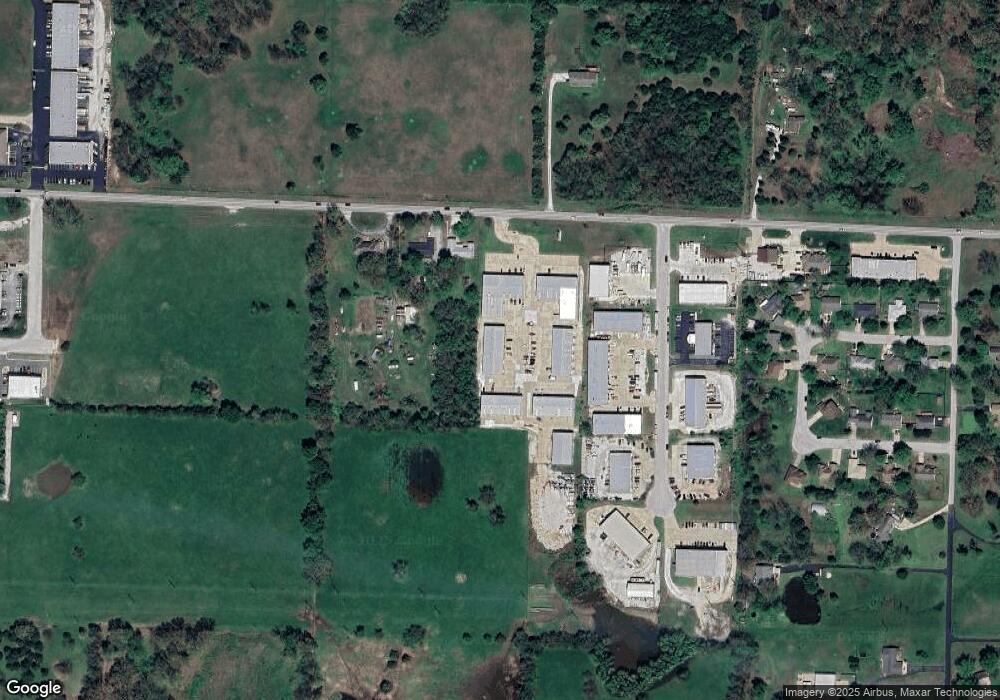
Map
Nearby Homes
- Lot 37 the Village of Cloverhill
- Lot 36 the Village of Cloverhill
- 1363 N Maxine Ave
- Lot 15 the Village of Cloverhill
- Lot 19 the Village of Cloverhill
- Lot 25 the Village of Cloverhill
- Lot 28 the Village of Cloverhill
- Lot 18 the Village of Cloverhill
- Lot 8 the Village of Cloverhill
- Lot 1
- 606 E Selby Dr
- Lot 29 the Village of Cloverhill
- 820 E Brewer Ave
- Lot 6 the Village of Cloverhill
- Lot 13 the Village of Cloverhill
- 815 E Beaufort St
- 1327 N Maxine Ave
- Lot 16 the Village of Cloverhill
- Lot 27 the Village of Cloverhill
- Lot 9 the Village of Cloverhill
- 380 E State Highway Cc Unit C 104-106
- 380 E State Highway Cc Unit F-101
- 380 E State Highway Cc Unit E-102
- 380 E State Highway Cc Unit B-106
- 380 E State Highway Cc Unit D101
- 380 E State Highway Cc
- 380 E State Highway Cc Unit B-102, 103, 104
- 368 E State Highway Cc
- 1543 N Commercial Rd Unit Ste 6
- 338 E State Highway Cc
- Lot 1 N Commercial Rd
- 1556 N Commercial Rd
- 1548 N Commercial Rd
- 1540 N Commercial Rd Unit 2&3
- 1540 N Commercial Rd Unit 5
- 1540 N Commercial Rd Unit 4
- 1540 N Commercial Rd
- 399 E State Highway Cc
- 1532 N Commercial Rd
- 1507 Fairway Ln
Your Personal Tour Guide
Ask me questions while you tour the home.