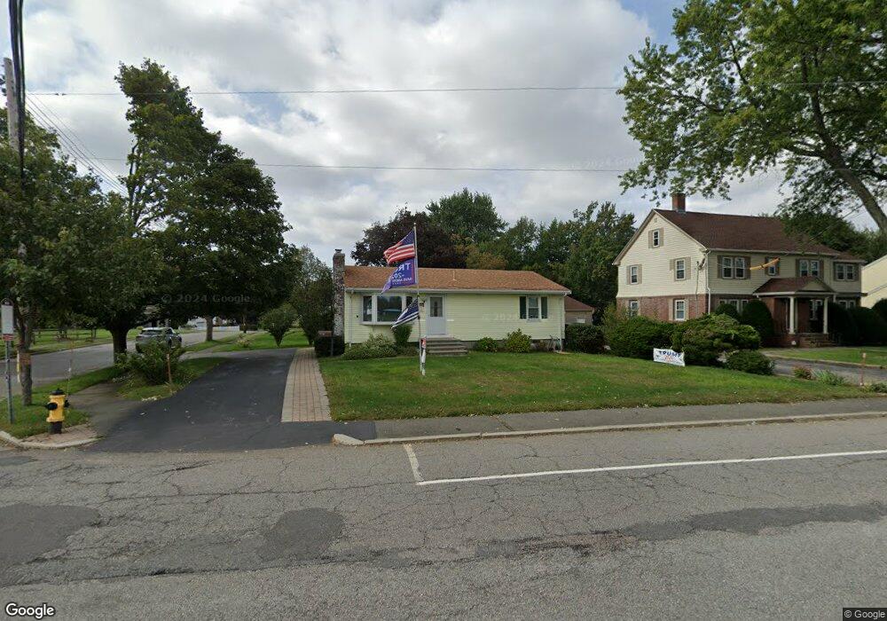
380 Forest St Waltham, MA 02452
North Waltham NeighborhoodEstimated Value: $687,000 - $751,822
3
Beds
1
Bath
1,591
Sq Ft
$453/Sq Ft
Est. Value
About This Home
This home is located at 380 Forest St, Waltham, MA 02452 and is currently estimated at $720,456, approximately $452 per square foot. 380 Forest St is a home located in Middlesex County with nearby schools including Northeast Elementary School, John F Kennedy Middle School, and Waltham Sr High School.
Ownership History
Date
Name
Owned For
Owner Type
Purchase Details
Closed on
Jun 20, 2017
Sold by
Carrafiello Michael C and Carrafiello Patriciza E
Bought by
Carrafiello Rt
Current Estimated Value
Purchase Details
Closed on
Mar 1, 1983
Bought by
Carrafiello Michael C and Carrafiello Patricia E
Create a Home Valuation Report for This Property
The Home Valuation Report is an in-depth analysis detailing your home's value as well as a comparison with similar homes in the area
Home Values in the Area
Average Home Value in this Area
Purchase History
| Date | Buyer | Sale Price | Title Company |
|---|---|---|---|
| Carrafiello Rt | -- | -- | |
| Carrafiello Michael C | $83,900 | -- |
Source: Public Records
Mortgage History
| Date | Status | Borrower | Loan Amount |
|---|---|---|---|
| Previous Owner | Carrafiello Michael C | $41,426 | |
| Previous Owner | Carrafiello Michael C | $70,000 |
Source: Public Records
Tax History
| Year | Tax Paid | Tax Assessment Tax Assessment Total Assessment is a certain percentage of the fair market value that is determined by local assessors to be the total taxable value of land and additions on the property. | Land | Improvement |
|---|---|---|---|---|
| 2025 | $6,296 | $641,100 | $436,900 | $204,200 |
| 2024 | $5,974 | $619,700 | $417,600 | $202,100 |
| 2023 | $5,900 | $571,700 | $378,900 | $192,800 |
| 2022 | $5,853 | $525,400 | $340,300 | $185,100 |
| 2021 | $5,831 | $515,100 | $340,300 | $174,800 |
| 2020 | $5,704 | $477,300 | $317,100 | $160,200 |
| 2019 | $0 | $451,400 | $313,200 | $138,200 |
| 2018 | $5,192 | $411,700 | $290,000 | $121,700 |
| 2017 | $0 | $384,600 | $262,900 | $121,700 |
| 2016 | $4,519 | $369,200 | $247,500 | $121,700 |
| 2015 | $4,339 | $330,500 | $216,500 | $114,000 |
Source: Public Records
Map
Nearby Homes
- 345 Bishops Forest Dr
- 100 Shirley Rd
- 170 Clocktower Dr Unit 103
- 501 Lexington St Unit 11
- 86 Indian Rd
- 49 Lincoln St
- 12 Curve St
- 45 Beaver St
- 43 S Cottage Rd Unit 43
- 54 Clements Rd
- 1105 Lexington St Unit 6-4
- 203 College Farm Rd
- 60 Agassiz Ave
- 59 Farnum Rd
- 34 Gill Rd Unit 4
- 50 Worcester Ln
- 16 Winter St Unit 26C
- 78 Barbara Rd Unit 1
- 1 Circuit Ln Unit D
- 50 Moraine St
- Lot 3A Linden Cir
- Lot 14A Matthew Ln
- Lot 4 Leblanc Ln
- 386 Forest St
- 11 Harrington Rd
- 370 Forest St
- 17 Harrington Rd
- 392 Forest St
- 74 Hillcroft Rd
- 86 Hillcroft Rd
- 16 Harrington Rd
- 80 Hillcroft Rd
- 400 Forest St
- 364 Forest St
- 66 Hillcroft Rd
- 404 Forest St
- 62 Hillcroft Rd
- 24 Harrington Rd
- 83 Hillcroft Rd
- 410 Forest St
Your Personal Tour Guide
Ask me questions while you tour the home.