Estimated Value: $298,000 - $859,961
--
Bed
2
Baths
1,679
Sq Ft
$345/Sq Ft
Est. Value
About This Home
This home is located at 380 Frank Rd, Jesup, GA 31545 and is currently estimated at $578,981, approximately $344 per square foot. 380 Frank Rd is a home located in Wayne County with nearby schools including Odum Elementary School, Martha Puckett Middle School, and Wayne County High School.
Ownership History
Date
Name
Owned For
Owner Type
Purchase Details
Closed on
Jun 3, 2016
Sold by
Surrency Terrell Franklin
Bought by
Surrency Terrell Franklin
Current Estimated Value
Purchase Details
Closed on
Oct 21, 2013
Sold by
Surrency T Frank
Bought by
Chadwick Phyllis Ann
Purchase Details
Closed on
Jun 14, 2013
Sold by
Milton Carl
Bought by
Milton Maria E
Purchase Details
Closed on
Apr 19, 2011
Sold by
Surrency T Frank
Bought by
Chadwick Phyllis Ann
Purchase Details
Closed on
Mar 10, 2008
Sold by
Frank Surrency T
Bought by
Chadwick Phyllis Ann
Create a Home Valuation Report for This Property
The Home Valuation Report is an in-depth analysis detailing your home's value as well as a comparison with similar homes in the area
Home Values in the Area
Average Home Value in this Area
Purchase History
| Date | Buyer | Sale Price | Title Company |
|---|---|---|---|
| Surrency Terrell Franklin | -- | -- | |
| Chadwick Phyllis Ann | -- | -- | |
| Milton Maria E | -- | -- | |
| Chadwick Phyllis Ann | -- | -- | |
| Chadwick Phyllis Ann | -- | -- | |
| Surrency Terrell F | -- | -- |
Source: Public Records
Tax History Compared to Growth
Tax History
| Year | Tax Paid | Tax Assessment Tax Assessment Total Assessment is a certain percentage of the fair market value that is determined by local assessors to be the total taxable value of land and additions on the property. | Land | Improvement |
|---|---|---|---|---|
| 2024 | $2,773 | $244,658 | $174,194 | $70,464 |
| 2023 | $2,827 | $237,092 | $174,194 | $62,898 |
| 2022 | $2,670 | $226,498 | $174,194 | $52,304 |
| 2021 | $2,611 | $219,935 | $174,194 | $45,741 |
| 2020 | $2,729 | $148,302 | $102,561 | $45,741 |
| 2019 | $1,299 | $148,302 | $102,561 | $45,741 |
| 2018 | $1,285 | $148,302 | $102,561 | $45,741 |
| 2017 | $917 | $148,302 | $102,561 | $45,741 |
| 2016 | $834 | $146,618 | $100,877 | $45,741 |
| 2014 | $816 | $146,618 | $100,877 | $45,741 |
| 2013 | -- | $45,740 | $0 | $45,740 |
Source: Public Records
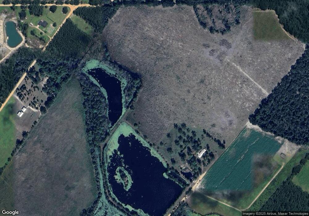
Map
Nearby Homes
- 0 Oglethorpe Rd
- 6555 Lanes Bridge Rd
- 876 Hires Rd
- 2936 Madray Springs Rd
- 17380 Lanes Bridge Rd
- 17614 Lanes Bridge Rd
- 128 Three C Rd
- 236 Three C Rd
- 438 Boardwalk Ave
- 272 Three C Rd
- 300 Three C Rd
- 192 Northshore Ave
- 200 Northshore Ave
- 88 Northshore Ave
- 177 Northshore Ave
- 11235 Lanes Bridge Rd
- 192 Hummingbird Ln
- 92 Sparrow Ln
- 260 Linden Dr
- 167 Frank Rd
- 376 Frank Rd
- 445 Surrency Rd
- 4404 Constance Rd
- 257 Surrency Rd
- 435 Lynwood Rd
- 4885 Constance Rd
- 344 Surrency Rd
- 280 Surrency Rd
- 181 Lynwood Rd
- 4459 Constance Rd
- 486 Lynwood Rd
- 966 Lynwood Rd
- 747 Lynwood Rd
- 4243 Oglethorpe Rd
- 4014 Oglethorpe Rd
- 4950 Constance Rd
- 4377 Constance Rd
- 3989 Oglethorpe Rd
- 4497 Oglethorpe Rd