380 Main St Rutland, MA 01543
Estimated Value: $794,000 - $1,298,000
5
Beds
3
Baths
3,958
Sq Ft
$251/Sq Ft
Est. Value
About This Home
This home is located at 380 Main St, Rutland, MA 01543 and is currently estimated at $994,370, approximately $251 per square foot. 380 Main St is a home located in Worcester County with nearby schools including Wachusett Regional High School.
Ownership History
Date
Name
Owned For
Owner Type
Purchase Details
Closed on
Dec 6, 2023
Sold by
Moriarty Sarah A and Moriarty Ryan N
Bought by
Algoo Ramkumar and Algoo Parbhudai
Current Estimated Value
Purchase Details
Closed on
Mar 12, 1998
Sold by
Northern Estates Inc
Bought by
Algoo Ramkumar and Algoo Parbhudai
Create a Home Valuation Report for This Property
The Home Valuation Report is an in-depth analysis detailing your home's value as well as a comparison with similar homes in the area
Home Values in the Area
Average Home Value in this Area
Purchase History
| Date | Buyer | Sale Price | Title Company |
|---|---|---|---|
| Algoo Ramkumar | $5,000 | None Available | |
| Algoo Ramkumar | $40,000 | -- | |
| Algoo Ramkumar | $40,000 | -- |
Source: Public Records
Mortgage History
| Date | Status | Borrower | Loan Amount |
|---|---|---|---|
| Previous Owner | Algoo Ramkumar | $125,000 | |
| Previous Owner | Algoo Ramkumar | $125,000 | |
| Previous Owner | Algoo Ramkumar | $95,000 |
Source: Public Records
Tax History Compared to Growth
Tax History
| Year | Tax Paid | Tax Assessment Tax Assessment Total Assessment is a certain percentage of the fair market value that is determined by local assessors to be the total taxable value of land and additions on the property. | Land | Improvement |
|---|---|---|---|---|
| 2025 | $12,533 | $880,100 | $117,700 | $762,400 |
| 2024 | $14,081 | $949,500 | $113,100 | $836,400 |
| 2023 | $12,478 | $909,500 | $105,800 | $803,700 |
| 2022 | $11,317 | $716,700 | $92,100 | $624,600 |
| 2021 | $12,310 | $737,100 | $92,100 | $645,000 |
| 2020 | $13,000 | $738,200 | $88,300 | $649,900 |
| 2019 | $12,968 | $724,900 | $84,900 | $640,000 |
| 2018 | $13,142 | $724,900 | $84,900 | $640,000 |
| 2017 | $13,280 | $724,900 | $84,900 | $640,000 |
| 2016 | $12,265 | $706,100 | $81,600 | $624,500 |
| 2015 | $11,151 | $631,800 | $81,600 | $550,200 |
| 2014 | $10,810 | $631,800 | $81,600 | $550,200 |
Source: Public Records
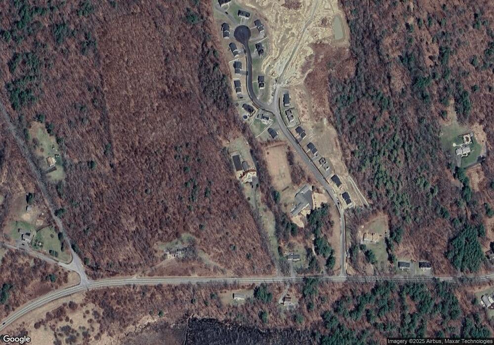
Map
Nearby Homes
- Lot 24R Quail Run
- Lot 29 Quail Run
- Lot 27A Quail Run
- 4 Fidelity Dr Unit 2
- 6 Fidelity Dr Unit 3
- 47 Woodside Ave
- 51 Woodside Ave
- Lot 2 Barrack Hill Rd
- 0 Barrack Hill Rd Unit 73395148
- 10 Soucy Dr
- 5 Miles Rd
- 32 Pommogussett Rd Unit 1
- 12 Fidelity Dr Unit 6
- 10 Fidelity Dr Unit 5
- 55 Pommogussett Rd
- 28 Forest Hill Dr
- 132 Fidelity Dr Unit 61
- 2 Forest Hill Dr
- 6 Lewis St
- 12 Lewis St
- 1 Pioneer Cir
- 3 Pioneer Cir
- 12 Woodside Ave
- 14 Woodside Ave
- 16 Woodside Ave
- 10 Woodside Ave
- 15 Woodside Ave
- 4 Pioneer Cir
- 8 Woodside Ave
- 376 Main St
- 6 Fidelity Dr Unit 2
- Lot 7A Quail Run
- Lot 25R Quail Run
- 10 Scenic Dr
- Lot 27B Quail Run
- Lot 2 Lantern Ln
- 108R Lyndsay Ln
- Lots 6-11 Wewe Trail
- 6 Wewe Trail
- 390 Main St