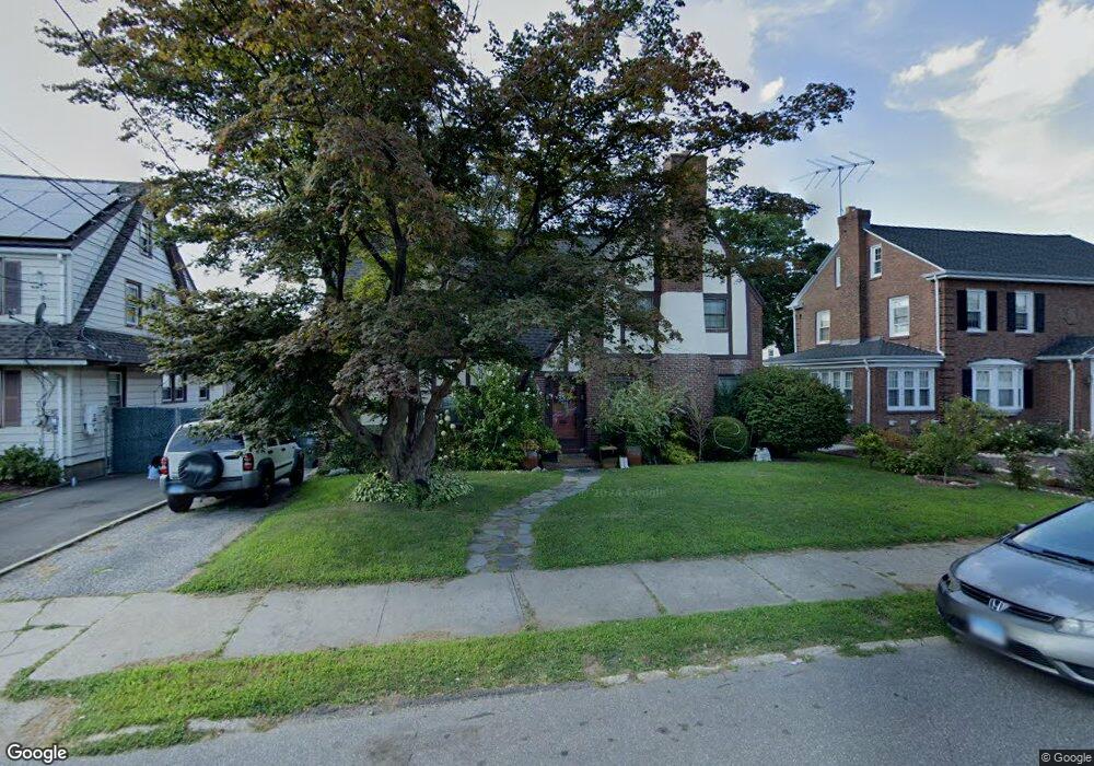
380 Mckinley Ave Unit 1 Bridgeport, CT 06604
Brooklawn-Saint Vincent NeighborhoodEstimated Value: $357,000 - $458,110
1
Bed
1
Bath
650
Sq Ft
$653/Sq Ft
Est. Value
About This Home
This home is located at 380 Mckinley Ave Unit 1, Bridgeport, CT 06604 and is currently estimated at $424,528, approximately $653 per square foot. 380 Mckinley Ave Unit 1 is a home located in Fairfield County with nearby schools including Madison School, Central High School, and Catholic Academy of Bridgeport-St. Raphael Academy.
Ownership History
Date
Name
Owned For
Owner Type
Purchase Details
Closed on
Dec 18, 2014
Sold by
Williams Rhoda
Bought by
Fortune Francia
Current Estimated Value
Home Financials for this Owner
Home Financials are based on the most recent Mortgage that was taken out on this home.
Original Mortgage
$157,102
Outstanding Balance
$120,781
Interest Rate
4.02%
Mortgage Type
New Conventional
Estimated Equity
$303,747
Purchase Details
Closed on
Mar 3, 1997
Sold by
Miller Robert A and Miller Karen Marnone
Bought by
Williams Rhoda J
Create a Home Valuation Report for This Property
The Home Valuation Report is an in-depth analysis detailing your home's value as well as a comparison with similar homes in the area
Home Values in the Area
Average Home Value in this Area
Purchase History
| Date | Buyer | Sale Price | Title Company |
|---|---|---|---|
| Fortune Francia | $160,000 | -- | |
| Fortune Francia | $160,000 | -- | |
| Williams Rhoda J | $113,000 | -- | |
| Williams Rhoda J | $113,000 | -- |
Source: Public Records
Mortgage History
| Date | Status | Borrower | Loan Amount |
|---|---|---|---|
| Open | Williams Rhoda J | $157,102 | |
| Closed | Williams Rhoda J | $157,102 | |
| Previous Owner | Williams Rhoda J | $51,409 |
Source: Public Records
Tax History Compared to Growth
Tax History
| Year | Tax Paid | Tax Assessment Tax Assessment Total Assessment is a certain percentage of the fair market value that is determined by local assessors to be the total taxable value of land and additions on the property. | Land | Improvement |
|---|---|---|---|---|
| 2025 | $7,652 | $176,100 | $78,940 | $97,160 |
| 2024 | $7,652 | $176,100 | $78,940 | $97,160 |
| 2023 | $7,652 | $176,100 | $78,940 | $97,160 |
| 2022 | $7,652 | $176,100 | $78,940 | $97,160 |
| 2021 | $7,652 | $176,100 | $78,940 | $97,160 |
| 2020 | $7,545 | $139,750 | $47,830 | $91,920 |
| 2019 | $7,545 | $139,750 | $47,830 | $91,920 |
| 2018 | $7,598 | $139,750 | $47,830 | $91,920 |
| 2017 | $7,598 | $139,750 | $47,830 | $91,920 |
| 2016 | $7,598 | $139,750 | $47,830 | $91,920 |
| 2015 | $7,175 | $170,020 | $53,060 | $116,960 |
| 2014 | $7,175 | $170,020 | $53,060 | $116,960 |
Source: Public Records
Map
Nearby Homes
- 412 Jackson Ave
- 2445 Park Ave Unit 23
- 201 High Ridge Dr
- 97 Calvin Ave
- 33 Jackson Ave Unit 35
- 45 Sampson St
- 53 Calvin Ave Unit 55
- 31 Taft Ave
- 76 Suburban Ave
- 125 Sampson St
- 1213 Wood Ave
- 2625 Park Ave Unit 14N
- 2625 Park Ave Unit 10F
- 2625 Park Ave Unit PHB
- 100 Lorraine St
- 137 Holroyd St
- 390 Charles St Unit 109
- 390 Charles St Unit 216
- 390 Charles St Unit 110
- 11 Myron Ave