Estimated Value: $207,000 - $1,109,000
3
Beds
4
Baths
244
Sq Ft
$2,714/Sq Ft
Est. Value
About This Home
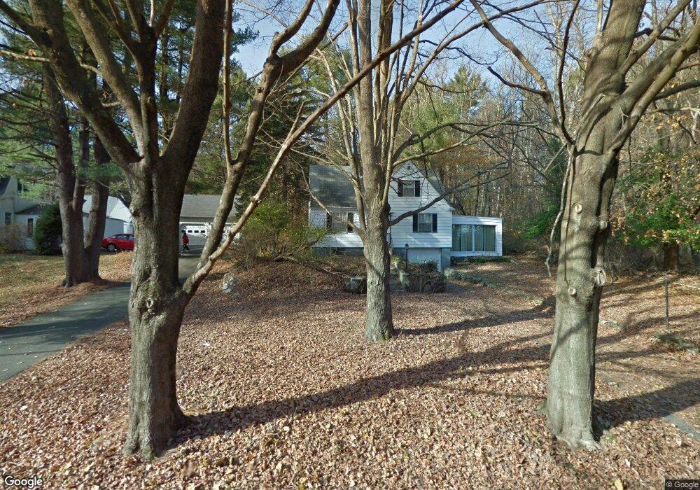
This home is located at 380 Pope Rd Unit R, Acton, MA 01720 and is currently estimated at $662,179, approximately $2,713 per square foot. 380 Pope Rd Unit R is a home located in Middlesex County with nearby schools including Acton-Boxborough Regional High School, Nashoba Brooks School, and The Fenn School.
Ownership History
Date
Name
Owned For
Owner Type
Purchase Details
Closed on
Jul 11, 2007
Sold by
Bhavnani Brenda K
Bought by
Nuzum Meri-Sue and Clark Kyle
Current Estimated Value
Home Financials for this Owner
Home Financials are based on the most recent Mortgage that was taken out on this home.
Original Mortgage
$400,000
Outstanding Balance
$249,752
Interest Rate
6.48%
Mortgage Type
Purchase Money Mortgage
Estimated Equity
$412,427
Create a Home Valuation Report for This Property
The Home Valuation Report is an in-depth analysis detailing your home's value as well as a comparison with similar homes in the area
Home Values in the Area
Average Home Value in this Area
Purchase History
| Date | Buyer | Sale Price | Title Company |
|---|---|---|---|
| Nuzum Meri-Sue | $30,000 | -- |
Source: Public Records
Mortgage History
| Date | Status | Borrower | Loan Amount |
|---|---|---|---|
| Open | Nuzum Meri-Sue | $400,000 |
Source: Public Records
Tax History
| Year | Tax Paid | Tax Assessment Tax Assessment Total Assessment is a certain percentage of the fair market value that is determined by local assessors to be the total taxable value of land and additions on the property. | Land | Improvement |
|---|---|---|---|---|
| 2025 | $763 | $44,500 | $23,600 | $20,900 |
| 2024 | $727 | $43,600 | $23,600 | $20,000 |
| 2023 | $709 | $40,400 | $21,300 | $19,100 |
| 2022 | $692 | $35,600 | $18,600 | $17,000 |
| 2021 | $655 | $32,400 | $17,200 | $15,200 |
| 2020 | $666 | $34,600 | $17,200 | $17,400 |
| 2019 | $639 | $33,000 | $17,200 | $15,800 |
| 2018 | $610 | $31,500 | $17,200 | $14,300 |
| 2017 | $591 | $31,000 | $17,200 | $13,800 |
| 2016 | $577 | $30,000 | $17,200 | $12,800 |
| 2015 | $592 | $31,100 | $17,200 | $13,900 |
| 2014 | $582 | $29,900 | $17,200 | $12,700 |
Source: Public Records
Map
Nearby Homes
- 110 Spencer Brook Rd
- 107 Westford Rd
- 853 Strawberry Hill Rd
- 104 Channing Rd
- 134 Pope Rd
- 495 Hugh Cargill Rd
- 11 Davis Rd Unit A5
- 875 Acton St
- 15 Davis Rd Unit B-8
- 927 Main St
- 49 Quarry Rd Unit 49
- 388 Great Rd Unit B14
- 386 Great Rd Unit A8
- 380A Great Rd Unit 301
- 390 Great Rd Unit B16
- 187 Great Rd Unit A1
- 5 Samantha Way Unit 5
- 24 Sorli Way
- 1 Bayberry Rd
- 11 Walnut St
- 380 Pope Rd
- 394 Pope Rd
- 376 Pope Rd
- 38A Pope Rd
- 158 Spencer Brook Rd
- 10 Triangle Farm Ln
- 21 Triangle Farm Ln
- 20 Triangle Farm Ln
- 366 Pope Rd
- 149 Spencer Brook Rd
- 66 Spencer Brook Rd
- 100 Spencer Brook Rd
- 1212 West St
- F-3B Spencer Brook Rd
- 3 Spencer Brook Rd
- 6 Spencer Brook Rd
- 107 Spencer Brook Rd
- 57 Hobblebush Ln
- 457 Westford Rd
- 9 Triangle Farm Ln
Your Personal Tour Guide
Ask me questions while you tour the home.