380 River Ridge Dr Unit 12 Burnsville, NC 28714
Estimated Value: $323,000 - $333,000
2
Beds
2
Baths
988
Sq Ft
$333/Sq Ft
Est. Value
About This Home
This home is located at 380 River Ridge Dr Unit 12, Burnsville, NC 28714 and is currently estimated at $328,722, approximately $332 per square foot. 380 River Ridge Dr Unit 12 is a home located in Yancey County with nearby schools including Mountain Heritage High School and Yancey County Christian School.
Ownership History
Date
Name
Owned For
Owner Type
Purchase Details
Closed on
May 20, 2023
Sold by
Ivester William Alan
Bought by
Parker Elizabeth and St Amant Kevin
Current Estimated Value
Home Financials for this Owner
Home Financials are based on the most recent Mortgage that was taken out on this home.
Original Mortgage
$289,750
Outstanding Balance
$281,515
Interest Rate
6.27%
Mortgage Type
New Conventional
Estimated Equity
$47,207
Purchase Details
Closed on
Oct 21, 2021
Sold by
Greenfield Terry D and Greenfield Jean M
Bought by
Ivester William Alan
Home Financials for this Owner
Home Financials are based on the most recent Mortgage that was taken out on this home.
Original Mortgage
$216,000
Interest Rate
2.88%
Mortgage Type
New Conventional
Purchase Details
Closed on
Jan 30, 1990
Bought by
Greenfield Terry D and Greenfield Jean M
Create a Home Valuation Report for This Property
The Home Valuation Report is an in-depth analysis detailing your home's value as well as a comparison with similar homes in the area
Home Values in the Area
Average Home Value in this Area
Purchase History
| Date | Buyer | Sale Price | Title Company |
|---|---|---|---|
| Parker Elizabeth | $305,000 | None Listed On Document | |
| Ivester William Alan | $270,000 | None Available | |
| Greenfield Terry D | $54,000 | -- |
Source: Public Records
Mortgage History
| Date | Status | Borrower | Loan Amount |
|---|---|---|---|
| Open | Parker Elizabeth | $289,750 | |
| Previous Owner | Ivester William Alan | $216,000 |
Source: Public Records
Tax History Compared to Growth
Tax History
| Year | Tax Paid | Tax Assessment Tax Assessment Total Assessment is a certain percentage of the fair market value that is determined by local assessors to be the total taxable value of land and additions on the property. | Land | Improvement |
|---|---|---|---|---|
| 2025 | $1,705 | $299,100 | $121,700 | $177,400 |
| 2024 | $1,705 | $299,100 | $121,700 | $177,400 |
| 2023 | $880 | $135,460 | $43,400 | $92,060 |
| 2022 | $863 | $135,460 | $43,400 | $92,060 |
| 2021 | $880 | $135,460 | $43,400 | $92,060 |
| 2020 | $880 | $135,460 | $43,400 | $92,060 |
| 2019 | $880 | $135,460 | $43,400 | $92,060 |
| 2018 | $880 | $135,460 | $43,400 | $92,060 |
| 2017 | $880 | $135,460 | $43,400 | $92,060 |
| 2016 | $880 | $135,460 | $43,400 | $92,060 |
| 2015 | $683 | $124,090 | $32,500 | $91,590 |
| 2014 | $683 | $124,090 | $32,500 | $91,590 |
Source: Public Records
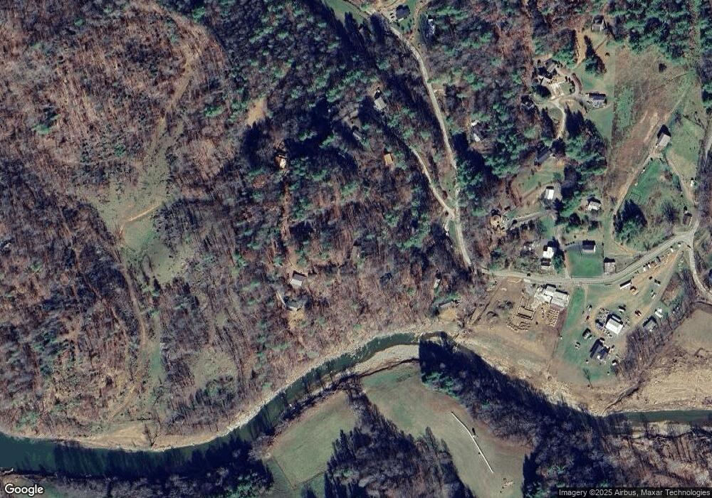
Map
Nearby Homes
- 9999 River Edge Dr Unit 2
- 619 Leisure Ln
- 57 Stillwater Springs Rd
- 208 Stillwater Springs Rd
- 0 Cane Mountain Ln Unit 9967935
- 0 Cane Mountain Ln Unit CAR4287202
- 0 Cane Mountain Ln Unit 250665
- 124 W Dogwood Cir
- 00 Riverside Hills Rd Unit 9
- 98 Cardinal Crest Dr
- 300 Dogwood Ln
- 117 River Look Dr
- 81 River Look Dr
- 00 Prices Creek Rd
- 1377 Langford Branch Rd
- 318 Sandy Way
- 137 Red Maple Ln
- 95 Friendship Rd
- 0000 Wheeler Hills Rd
- 000 Wheeler Hills Rd
- 380 River Ridge Dr
- 70 River Edge Dr
- 331 River Ridge Dr
- 47 River Edge Dr
- 839 Mckinney Rd
- Lot 6 River Edge Dr
- 428 River Ridge Dr
- 791 Mckinney Rd
- 26 River Edge Dr
- 268 River Ridge Dr
- 185 River Ridge Dr
- 257 River Ridge Dr
- 208 River Ridge Dr
- 101 River Ridge Dr
- 31 Hunters Ridge Rd
- 31 Hunters Ridge Rd
- 851 Mckinney Rd
- 143 River Ridge Dr
- 200 River Ridge Dr
- 722 Mckinney Rd