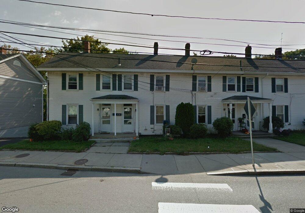
380 River St Unit 384 Waltham, MA 02453
Bleachery NeighborhoodEstimated Value: $1,049,052 - $1,133,000
9
Beds
6
Baths
2,736
Sq Ft
$399/Sq Ft
Est. Value
About This Home
This home is located at 380 River St Unit 384, Waltham, MA 02453 and is currently estimated at $1,093,013, approximately $399 per square foot. 380 River St Unit 384 is a home located in Middlesex County with nearby schools including James Fitzgerald Elementary School, John W. Mcdevitt Middle School, and Waltham Sr High School.
Ownership History
Date
Name
Owned For
Owner Type
Purchase Details
Closed on
Jun 30, 2000
Sold by
Carrig James A Est
Bought by
Malone Robert M
Current Estimated Value
Home Financials for this Owner
Home Financials are based on the most recent Mortgage that was taken out on this home.
Original Mortgage
$250,000
Outstanding Balance
$91,737
Interest Rate
8.59%
Mortgage Type
Purchase Money Mortgage
Estimated Equity
$1,001,276
Create a Home Valuation Report for This Property
The Home Valuation Report is an in-depth analysis detailing your home's value as well as a comparison with similar homes in the area
Home Values in the Area
Average Home Value in this Area
Purchase History
| Date | Buyer | Sale Price | Title Company |
|---|---|---|---|
| Malone Robert M | $330,000 | -- |
Source: Public Records
Mortgage History
| Date | Status | Borrower | Loan Amount |
|---|---|---|---|
| Open | Malone Robert M | $250,000 | |
| Closed | Malone Robert M | $47,000 |
Source: Public Records
Tax History Compared to Growth
Tax History
| Year | Tax Paid | Tax Assessment Tax Assessment Total Assessment is a certain percentage of the fair market value that is determined by local assessors to be the total taxable value of land and additions on the property. | Land | Improvement |
|---|---|---|---|---|
| 2025 | $9,282 | $945,200 | $298,000 | $647,200 |
| 2024 | $8,484 | $880,100 | $296,100 | $584,000 |
| 2023 | $8,120 | $786,800 | $283,800 | $503,000 |
| 2022 | $8,263 | $741,700 | $259,100 | $482,600 |
| 2021 | $7,440 | $657,200 | $209,800 | $447,400 |
| 2020 | $7,193 | $601,900 | $185,100 | $416,800 |
| 2019 | $6,562 | $518,300 | $183,200 | $335,100 |
| 2018 | $5,980 | $474,200 | $169,700 | $304,500 |
| 2017 | $5,761 | $458,700 | $154,200 | $304,500 |
| 2016 | $5,614 | $458,700 | $154,200 | $304,500 |
| 2015 | $5,151 | $392,300 | $138,800 | $253,500 |
Source: Public Records
Map
Nearby Homes
- 266-274 River St
- 28-32 Calvary St
- 70 School St
- 240 River St
- 7-11.5 Felton
- 61 Hall St Unit 1
- 61 Hall St Unit 9
- 61 Hall St Unit 2
- 61 Hall St Unit 7
- 180 River St Unit 9
- 176 River St
- 39 Clinton St Unit 2
- 39 Clinton St Unit 1
- 160 School St Unit 3-1
- 55-57 Crescent St
- 214 Church St
- 308 Newton St Unit 1
- 158 Church St
- 220 Grove St Unit 1
- 312 Newton St Unit 1A
- 388 River St
- 386 River St
- 386 River St Unit 386
- 386 River St Unit 386 386
- 390 River St
- 390 River St Unit 390 390
- 374 River St Unit 374
- 376 River St Unit 376
- 372 River St Unit 1
- 372 River St Unit 372
- 372-378 River St
- 372 River St Unit 2
- 372 River St Unit 3
- 378 River St Unit 378
- 389 River St Unit 1
- 387 River St Unit 389
- 408 River St Unit 2
- 1 Lawton Place
- 1 Lawton Place Unit 4
- 1 Lawton Place