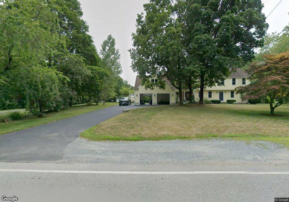
380 Williams St Mansfield, MA 02048
Estimated Value: $811,559 - $923,000
3
Beds
3
Baths
2,652
Sq Ft
$323/Sq Ft
Est. Value
About This Home
This home is located at 380 Williams St, Mansfield, MA 02048 and is currently estimated at $855,390, approximately $322 per square foot. 380 Williams St is a home located in Bristol County with nearby schools including Everett W. Robinson Elementary School, Jordan/Jackson Elementary School, and Harold L. Qualters Middle School.
Ownership History
Date
Name
Owned For
Owner Type
Purchase Details
Closed on
Oct 29, 2002
Sold by
Allen Gwendolyn J
Bought by
Wilson Thomas A and Wilson Cristiana D
Current Estimated Value
Home Financials for this Owner
Home Financials are based on the most recent Mortgage that was taken out on this home.
Original Mortgage
$155,000
Interest Rate
6.2%
Mortgage Type
Purchase Money Mortgage
Purchase Details
Closed on
May 5, 1993
Sold by
Balcom Rlty Corp
Bought by
Allen Raymond E and Allen Gwendolyn
Purchase Details
Closed on
Oct 9, 1992
Sold by
Broderick Corp
Bought by
Balcom Rlty Corp
Create a Home Valuation Report for This Property
The Home Valuation Report is an in-depth analysis detailing your home's value as well as a comparison with similar homes in the area
Home Values in the Area
Average Home Value in this Area
Purchase History
| Date | Buyer | Sale Price | Title Company |
|---|---|---|---|
| Wilson Thomas A | $350,000 | -- | |
| Allen Raymond E | $159,000 | -- | |
| Balcom Rlty Corp | $62,000 | -- | |
| Broderick Corporation | $35,000 | -- |
Source: Public Records
Mortgage History
| Date | Status | Borrower | Loan Amount |
|---|---|---|---|
| Open | Broderick Corporation | $164,000 | |
| Closed | Broderick Corporation | $155,000 | |
| Previous Owner | Broderick Corporation | $123,500 |
Source: Public Records
Tax History Compared to Growth
Tax History
| Year | Tax Paid | Tax Assessment Tax Assessment Total Assessment is a certain percentage of the fair market value that is determined by local assessors to be the total taxable value of land and additions on the property. | Land | Improvement |
|---|---|---|---|---|
| 2025 | $9,301 | $706,200 | $242,100 | $464,100 |
| 2024 | $8,828 | $653,900 | $242,100 | $411,800 |
| 2023 | $8,461 | $600,500 | $242,100 | $358,400 |
| 2022 | $8,110 | $534,600 | $224,100 | $310,500 |
| 2021 | $8,110 | $528,000 | $196,100 | $331,900 |
| 2020 | $6,691 | $435,600 | $186,800 | $248,800 |
| 2019 | $43 | $409,400 | $155,600 | $253,800 |
| 2018 | $43 | $397,600 | $148,400 | $249,200 |
| 2017 | $5,805 | $386,500 | $144,200 | $242,300 |
| 2016 | $5,451 | $353,700 | $137,300 | $216,400 |
| 2015 | $5,309 | $342,500 | $137,300 | $205,200 |
Source: Public Records
Map
Nearby Homes
- 56 Jacob Dr
- 1730 West St
- 47 Old Farm Rd
- 14 Claire Ave
- 1125 School St
- 17 Peters Way
- 122 Mary Ann Way
- 36 Cranberry Rd
- 33 Treasure Island Rd
- 116 George St
- 16 Treasure Island Rd
- 450 West St
- 11 Landry Ave
- 16 Raymond Hall Dr
- 24 Red Coat Ln
- 10 Sleepy Hollow Cir
- 12 West St
- 176 Elm St
- 16 Bradner St
- 132 S High St