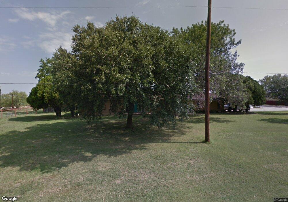
3800 Hampton Rd Denton, TX 76207
Estimated Value: $600,000 - $852,000
3
Beds
3
Baths
3,396
Sq Ft
$218/Sq Ft
Est. Value
About This Home
This home is located at 3800 Hampton Rd, Denton, TX 76207 and is currently estimated at $739,080, approximately $217 per square foot. 3800 Hampton Rd is a home located in Denton County with nearby schools including Evers Park Elementary School, Calhoun Middle School, and Denton High School.
Ownership History
Date
Name
Owned For
Owner Type
Purchase Details
Closed on
Aug 21, 2015
Sold by
Martin Ann Wylie
Bought by
Sills Rebecca and Hite Dan
Current Estimated Value
Home Financials for this Owner
Home Financials are based on the most recent Mortgage that was taken out on this home.
Original Mortgage
$333,450
Outstanding Balance
$263,056
Interest Rate
4.12%
Mortgage Type
New Conventional
Estimated Equity
$476,024
Purchase Details
Closed on
Jul 8, 2005
Sold by
Baker Austin Granville and Baker Sherrie L
Bought by
Martin Ann Wylie and Ann Wylie Martin Living Trust
Create a Home Valuation Report for This Property
The Home Valuation Report is an in-depth analysis detailing your home's value as well as a comparison with similar homes in the area
Purchase History
| Date | Buyer | Sale Price | Title Company |
|---|---|---|---|
| Sills Rebecca | -- | None Available | |
| Martin Ann Wylie | -- | Hftc |
Source: Public Records
Mortgage History
| Date | Status | Borrower | Loan Amount |
|---|---|---|---|
| Open | Sills Rebecca | $333,450 |
Source: Public Records
Tax History
| Year | Tax Paid | Tax Assessment Tax Assessment Total Assessment is a certain percentage of the fair market value that is determined by local assessors to be the total taxable value of land and additions on the property. | Land | Improvement |
|---|---|---|---|---|
| 2025 | $4,273 | $268,553 | $80,261 | $188,292 |
| 2024 | $5,468 | $283,295 | $0 | $0 |
| 2023 | $3,743 | $258,691 | $80,453 | $255,855 |
| 2022 | $5,280 | $248,735 | $28,087 | $262,125 |
| 2021 | $4,893 | $220,096 | $28,020 | $192,076 |
| 2020 | $5,227 | $228,691 | $28,037 | $200,654 |
| 2019 | $5,525 | $231,535 | $28,093 | $203,442 |
| 2018 | $5,631 | $233,120 | $28,121 | $204,999 |
| 2016 | $2,959 | $119,701 | $14,429 | $105,272 |
| 2015 | $697 | $227,578 | $8,372 | $219,206 |
| 2014 | $697 | $214,824 | $8,344 | $206,480 |
| 2013 | -- | $210,285 | $8,259 | $202,026 |
Source: Public Records
Map
Nearby Homes
- 2112 Windsor Farms Dr
- 2909 Savill Garden
- 2712 Claydon Dr
- 2904 Lakewood Dr
- 2905 Lakewood Dr
- 2717 Wendell Dr
- 2620 John Dr
- 2316 Overlook Ln
- 9909 Morning Cloak Dr
- 2225 Southway
- 2324 Southway
- 3400 Kingsview Dr
- 3616 Kingsgarden Rd
- 3317 Paruament Dr
- TBD N Bonnie Brae St
- 3308 Kingsdown Dr
- 3304 Kingsgarden Rd
- 3217 Kingsgarden Rd
- 3120 Kingsgarden Rd
- 3112 Kingsgarden Rd
- 2040 Marshall Rd
- 3806 Hampton Rd
- 3805 Hampton Rd
- 3813 Hampton Rd
- 3819 Hampton Rd
- 2007 Marshall Rd
- 3901 Hampton Rd
- 2501 Worthington Dr
- 2006 Cindy Ln
- 2005 Marshall Rd
- 3850 Tieszen St
- 2013 Cindy Ln
- 2000 Cindy Ln
- 3907 Hampton Rd
- 1913 Marshall Rd
- 1900 Marshall Rd
- 2001 Cindy Ln
- 1912 Cindy Ln
- 3913 Hampton Rd
- 2018 N Lariat Rd
Your Personal Tour Guide
Ask me questions while you tour the home.