3800 Spring Dr Midland, NC 28107
Estimated Value: $746,000 - $893,000
3
Beds
3
Baths
2,473
Sq Ft
$322/Sq Ft
Est. Value
About This Home
This home is located at 3800 Spring Dr, Midland, NC 28107 and is currently estimated at $795,681, approximately $321 per square foot. 3800 Spring Dr is a home located in Cabarrus County with nearby schools including Bethel Elementary School, C.C. Griffin Middle School, and Central Cabarrus High School.
Ownership History
Date
Name
Owned For
Owner Type
Purchase Details
Closed on
Aug 27, 2007
Sold by
Hill Edna R
Bought by
Strickland Kenneth Clinton and Strickland Lisa Anne
Current Estimated Value
Home Financials for this Owner
Home Financials are based on the most recent Mortgage that was taken out on this home.
Original Mortgage
$311,200
Outstanding Balance
$197,837
Interest Rate
6.65%
Mortgage Type
Purchase Money Mortgage
Estimated Equity
$597,844
Purchase Details
Closed on
Sep 1, 1993
Bought by
Hill Carlton D and Hill Wife
Create a Home Valuation Report for This Property
The Home Valuation Report is an in-depth analysis detailing your home's value as well as a comparison with similar homes in the area
Home Values in the Area
Average Home Value in this Area
Purchase History
| Date | Buyer | Sale Price | Title Company |
|---|---|---|---|
| Strickland Kenneth Clinton | $389,000 | None Available | |
| Hill Carlton D | $290,000 | -- |
Source: Public Records
Mortgage History
| Date | Status | Borrower | Loan Amount |
|---|---|---|---|
| Open | Strickland Kenneth Clinton | $311,200 |
Source: Public Records
Tax History
| Year | Tax Paid | Tax Assessment Tax Assessment Total Assessment is a certain percentage of the fair market value that is determined by local assessors to be the total taxable value of land and additions on the property. | Land | Improvement |
|---|---|---|---|---|
| 2025 | $4,094 | $527,640 | $225,380 | $302,260 |
| 2024 | $4,094 | $527,640 | $225,380 | $302,260 |
| 2023 | $3,471 | $382,390 | $171,400 | $210,990 |
| 2022 | $3,471 | $361,560 | $171,400 | $190,160 |
| 2021 | $3,471 | $361,560 | $171,400 | $190,160 |
| 2020 | $3,471 | $361,560 | $171,400 | $190,160 |
| 2019 | $3,175 | $330,770 | $190,800 | $139,970 |
| 2018 | $3,043 | $330,770 | $190,800 | $139,970 |
| 2017 | $2,977 | $330,770 | $190,800 | $139,970 |
| 2016 | $2,977 | $341,490 | $206,700 | $134,790 |
| 2015 | $3,073 | $341,490 | $206,700 | $134,790 |
| 2014 | $3,073 | $341,490 | $206,700 | $134,790 |
Source: Public Records
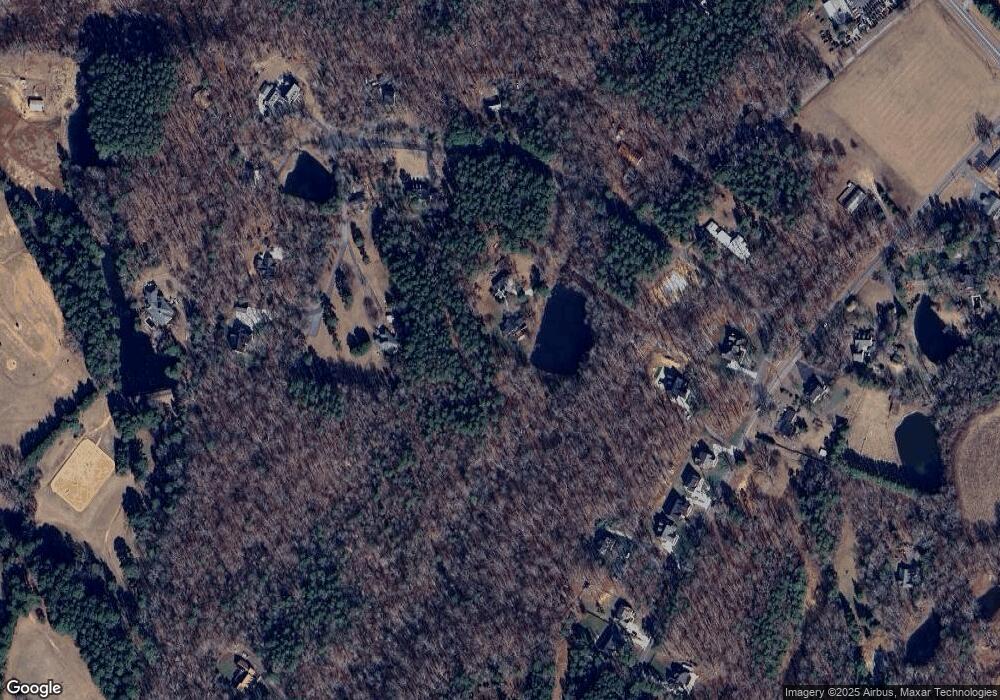
Map
Nearby Homes
- 3425 Cal Bost Rd
- 10483 Troutman Rd
- 8921 Highway 601
- 10928 Candilara Ln
- 10670 Troutman Rd
- 8629 Hayden Way
- 11055 Graybark Rd
- 10130 Reed Mine Rd
- 4121 Granite St
- 4115 Granite St
- 4146 Trowel Ct
- 11818 Paver Ln
- 1938 Sossoman Springs Rd
- 4200 Wesley Dr
- 0000 Nc Hwy 24 27 None
- 4200 Nc Hwy 24 27 Hwy
- 10217 Bethel Church Rd
- 7787 Us Highway 601 S
- 12320 Highway 601
- 11484 Bethel Church Rd
- 3855 Spring Dr
- 3700 Spring Dr
- 3940 Spring Dr
- 3925 Spring Dr
- 3801 Spring Dr
- 3720 Spring Dr
- 10036 Jim Sossoman Rd Unit 9
- 9722 Highway 601
- 3710 Spring Dr
- 10052 Jim Sossoman Rd
- 10052 Jim Sossoman Rd Unit 8
- 10068 Jim Sossoman Rd
- 10068 Jim Sossoman Rd Unit 7
- 3713 Spring Dr
- 10084 Jim Sossoman Rd Unit 6
- 10035 Jim Sossoman Rd
- 10100 Jim Sossoman Rd Unit 5
- 9808 Jim Sossoman Rd
- 10019 Jim Sossoman Rd
- 9672 U S 601
Your Personal Tour Guide
Ask me questions while you tour the home.