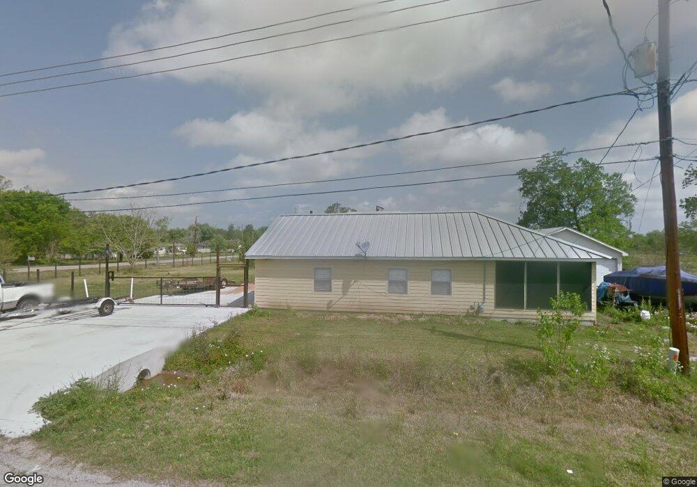
3801 Aubrell Rd Unit 914 Pearland, TX 77584
Estimated Value: $216,000 - $282,000
2
Beds
1
Bath
864
Sq Ft
$288/Sq Ft
Est. Value
About This Home
This home is located at 3801 Aubrell Rd Unit 914, Pearland, TX 77584 and is currently estimated at $248,858, approximately $288 per square foot. 3801 Aubrell Rd Unit 914 is a home located in Brazoria County with nearby schools including H.C. Carleston Elementary School, Pearland Junior High School South, and Sam Jamison Middle School.
Ownership History
Date
Name
Owned For
Owner Type
Purchase Details
Closed on
Apr 12, 2021
Sold by
Scott Sean William
Bought by
Scott Michelle Williams
Current Estimated Value
Purchase Details
Closed on
Jul 12, 2000
Sold by
Sowell Alfred G and Sowell Joy N
Bought by
Scott Sean William
Home Financials for this Owner
Home Financials are based on the most recent Mortgage that was taken out on this home.
Original Mortgage
$56,250
Outstanding Balance
$20,128
Interest Rate
8.23%
Estimated Equity
$228,730
Create a Home Valuation Report for This Property
The Home Valuation Report is an in-depth analysis detailing your home's value as well as a comparison with similar homes in the area
Home Values in the Area
Average Home Value in this Area
Purchase History
| Date | Buyer | Sale Price | Title Company |
|---|---|---|---|
| Scott Michelle Williams | -- | None Available | |
| Scott Sean William | -- | Texas American Title Company |
Source: Public Records
Mortgage History
| Date | Status | Borrower | Loan Amount |
|---|---|---|---|
| Open | Scott Sean William | $56,250 |
Source: Public Records
Tax History Compared to Growth
Tax History
| Year | Tax Paid | Tax Assessment Tax Assessment Total Assessment is a certain percentage of the fair market value that is determined by local assessors to be the total taxable value of land and additions on the property. | Land | Improvement |
|---|---|---|---|---|
| 2025 | $2,328 | $182,813 | $117,440 | $78,210 |
| 2023 | $2,328 | $151,085 | $137,010 | $83,060 |
| 2022 | $3,304 | $137,350 | $61,520 | $75,830 |
| 2021 | $3,245 | $132,860 | $61,080 | $71,780 |
| 2020 | $3,089 | $114,700 | $52,350 | $62,350 |
| 2019 | $2,809 | $104,080 | $52,350 | $51,730 |
| 2018 | $2,965 | $110,360 | $52,350 | $58,010 |
| 2017 | $3,156 | $120,780 | $56,720 | $64,060 |
| 2016 | $2,869 | $117,690 | $54,310 | $63,380 |
| 2014 | $2,146 | $90,340 | $45,950 | $44,390 |
Source: Public Records
Map
Nearby Homes
- 3730 Aubrell Rd
- 3834 Aubrell Rd
- 3602 Lindhaven Dr
- 5205 Spring Branch Dr
- 3902 Basil Ct
- 5806 Wilton St
- 3911 Spring Garden Dr
- 16708 N Wayne Ln
- 6112 Tomorrow Cir
- 5101 Big Spring Dr
- 4009 Ravencrest Ct
- 4013 Ivywood Dr
- 6301 Larrycrest Dr
- 6436 Grace Ln
- 16622 Mclean Rd
- 3910 Greenwood Dr
- 6406 Patridge Dr
- 3510 Dorsey Ln
- 4806 Chaperel Dr
- 6504 Patridge Dr
- 6415 Cottonwood St
- 5659 Cottonwood St
- 5610 Cottonwood St
- 3750 Aubrell Rd
- 5606 Cottonwood St Unit 553
- 5679 Cottonwood St
- 3818 Aubrell Rd
- 5602 Cottonwood St Unit 553
- 5525 Cottonwood St
- 5522 Cottonwood St
- 3734 Aubrell Rd
- 5701 Cottonwood St
- 3829 Aubrell Rd
- 4419 Cottonwood St
- 4315 Cottonwood
- 4315 Cottonwood St
- 3717 Aubrell Rd
- 3725A Aubrell
- 3845 Aubrell Rd
- 3916 Spring Circle Dr W