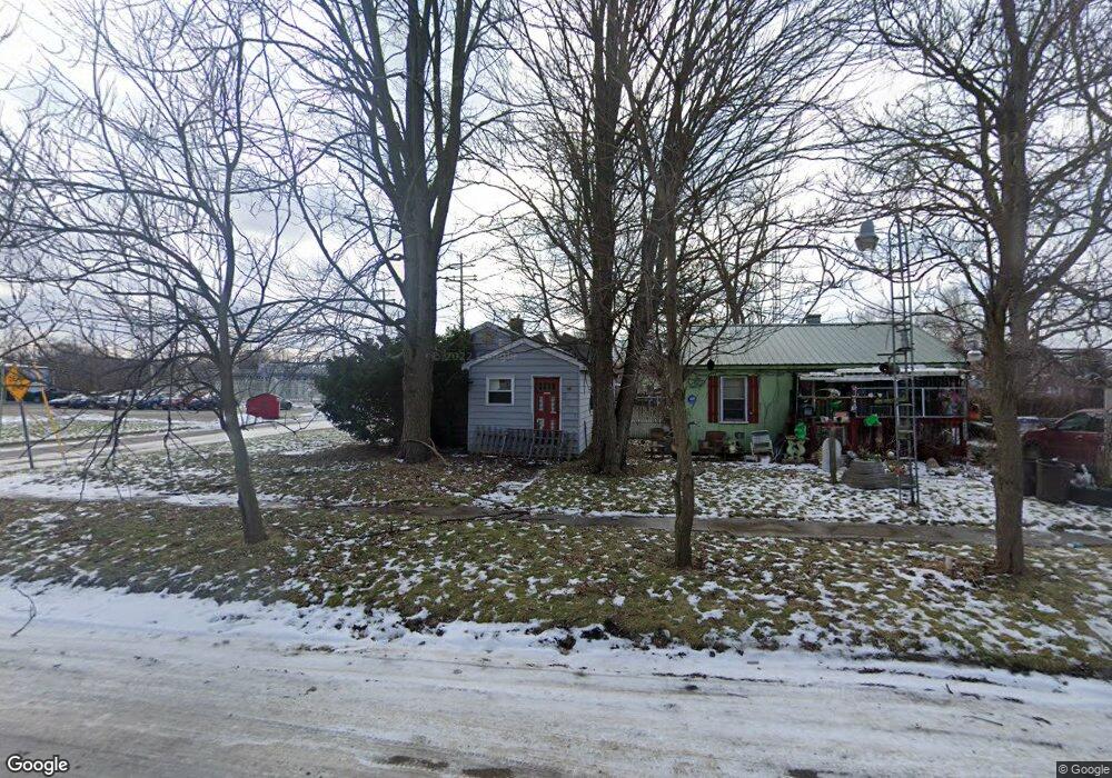
3801 Blackington Ave Flint, MI 48532
West Court Gardens NeighborhoodEstimated Value: $56,000 - $60,000
2
Beds
1
Bath
943
Sq Ft
$62/Sq Ft
Est. Value
About This Home
This home is located at 3801 Blackington Ave, Flint, MI 48532 and is currently estimated at $58,000, approximately $61 per square foot. 3801 Blackington Ave is a home located in Genesee County with nearby schools including Durant-Tuuri-Mott Elementary School, St. Paul Lutheran School, and First Flint Seventh-day Adventist Christian School.
Ownership History
Date
Name
Owned For
Owner Type
Purchase Details
Closed on
Dec 19, 2019
Sold by
Cherry Deborah L
Bought by
County Land Bank Authority
Current Estimated Value
Purchase Details
Closed on
Jul 12, 2016
Sold by
Genesee County Land Bank Authority
Bought by
Neimi William
Purchase Details
Closed on
Jan 13, 2012
Sold by
The Genesee County Land Bank Authority
Bought by
Neimi William
Purchase Details
Closed on
Dec 21, 2011
Sold by
Genesee County Treasurer
Bought by
Genesee County Land Bank
Create a Home Valuation Report for This Property
The Home Valuation Report is an in-depth analysis detailing your home's value as well as a comparison with similar homes in the area
Home Values in the Area
Average Home Value in this Area
Purchase History
| Date | Buyer | Sale Price | Title Company |
|---|---|---|---|
| County Land Bank Authority | -- | None Available | |
| Neimi William | $5,000 | None Available | |
| Neimi William | $5,000 | None Available | |
| Genesee County Land Bank | -- | None Available |
Source: Public Records
Mortgage History
| Date | Status | Borrower | Loan Amount |
|---|---|---|---|
| Closed | Neimi William | $0 |
Source: Public Records
Tax History
| Year | Tax Paid | Tax Assessment Tax Assessment Total Assessment is a certain percentage of the fair market value that is determined by local assessors to be the total taxable value of land and additions on the property. | Land | Improvement |
|---|---|---|---|---|
| 2025 | -- | $0 | $0 | $0 |
| 2024 | -- | $0 | $0 | $0 |
| 2023 | -- | $0 | $0 | $0 |
| 2022 | $0 | $0 | $0 | $0 |
| 2021 | $0 | $0 | $0 | $0 |
| 2020 | $268 | $0 | $0 | $0 |
| 2019 | $683 | $8,900 | $0 | $0 |
| 2018 | $722 | $9,700 | $0 | $0 |
| 2017 | $847 | $0 | $0 | $0 |
| 2016 | $841 | $0 | $0 | $0 |
| 2015 | -- | $0 | $0 | $0 |
| 2014 | -- | $0 | $0 | $0 |
| 2012 | -- | $0 | $0 | $0 |
Source: Public Records
Map
Nearby Homes
- 945 Salisbury Ave
- 976 Barney Ave
- 3801 Augusta St
- 3915 Augusta St
- 960 Mann Ave
- 874 Tacken St
- 3805 Brown St
- 870 Tacken St
- 3413 Augusta St
- 863 Tacken St
- 916 Mann Ave
- 1308 Barney Ave
- 1017 Stocker Ave
- 1122 Stocker Ave
- 1412 S Ballenger Hwy
- 3825 Arlene Ave
- 3302 Van Buren Ave
- 1202 Knapp Ave
- 3317 Arlene Ave
- 911 Hughes Ave
- 3805 Blackington Ave
- 3809 Blackington Ave
- 3813 Blackington Ave
- 990 Salisbury Ave
- 1024 Salisbury Ave
- 1015 Wellman St
- 987 Salisbury Ave
- 986 Salisbury Ave
- 1023 Wellman St
- 3816 Blackington Ave
- 983 Salisbury Ave
- 1028 Salisbury Ave
- 982 Salisbury Ave
- 1020 Wellman St
- 992 Johnson Ave
- 979 Salisbury Ave
- 988 Johnson Ave
- 3809 Orr St
- 978 Salisbury Ave
- 3813 Orr St
Your Personal Tour Guide
Ask me questions while you tour the home.