3801 Hurstland Ct Florissant, MO 63034
Estimated Value: $289,000 - $313,000
4
Beds
3
Baths
2,044
Sq Ft
$148/Sq Ft
Est. Value
About This Home
This home is located at 3801 Hurstland Ct, Florissant, MO 63034 and is currently estimated at $303,044, approximately $148 per square foot. 3801 Hurstland Ct is a home located in St. Louis County with nearby schools including Barrington Elementary School, North Middle School, and Hazelwood Central High School.
Ownership History
Date
Name
Owned For
Owner Type
Purchase Details
Closed on
Mar 31, 1999
Sold by
Davis Reginald B and Davis Juanette E
Bought by
Dumaine Danny J and Dumaine Teresa L
Current Estimated Value
Home Financials for this Owner
Home Financials are based on the most recent Mortgage that was taken out on this home.
Original Mortgage
$135,850
Outstanding Balance
$33,272
Interest Rate
6.89%
Mortgage Type
FHA
Estimated Equity
$269,772
Create a Home Valuation Report for This Property
The Home Valuation Report is an in-depth analysis detailing your home's value as well as a comparison with similar homes in the area
Home Values in the Area
Average Home Value in this Area
Purchase History
| Date | Buyer | Sale Price | Title Company |
|---|---|---|---|
| Dumaine Danny J | $136,000 | Land Title Company |
Source: Public Records
Mortgage History
| Date | Status | Borrower | Loan Amount |
|---|---|---|---|
| Open | Dumaine Danny J | $135,850 |
Source: Public Records
Tax History Compared to Growth
Tax History
| Year | Tax Paid | Tax Assessment Tax Assessment Total Assessment is a certain percentage of the fair market value that is determined by local assessors to be the total taxable value of land and additions on the property. | Land | Improvement |
|---|---|---|---|---|
| 2025 | $4,207 | $50,290 | $5,280 | $45,010 |
| 2024 | $4,207 | $46,690 | $4,070 | $42,620 |
| 2023 | $4,193 | $46,690 | $4,070 | $42,620 |
| 2022 | $3,676 | $36,400 | $5,280 | $31,120 |
| 2021 | $3,478 | $36,400 | $5,280 | $31,120 |
| 2020 | $3,324 | $32,400 | $6,180 | $26,220 |
| 2019 | $3,297 | $32,400 | $6,180 | $26,220 |
| 2018 | $3,093 | $28,090 | $4,070 | $24,020 |
| 2017 | $3,090 | $28,090 | $4,070 | $24,020 |
| 2016 | $2,958 | $26,440 | $1,820 | $24,620 |
| 2015 | $2,845 | $26,440 | $1,820 | $24,620 |
| 2014 | $2,782 | $25,730 | $4,580 | $21,150 |
Source: Public Records
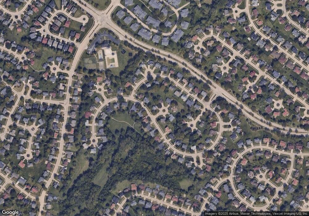
Map
Nearby Homes
- 3811 Halter Ct
- 1056 Saratoga Springs Ct
- 623 Bugle Run Dr
- 16256 Rose Wreath Ln Unit 156
- 15645 Chaste St
- 15561 Debridge Way
- 15509 Debridge Way
- 985 Brookfield Chase Ct
- 15520 97th Ave
- 3914 Birkemeier Dr
- 1323 Woodpath Dr
- 4242 Vaile Ave
- 4120 90th Ave
- 15467 Jost Main St
- 3932 Secretariat Dr
- 3213 Yvette Ct
- 15412 Forte de France Ln
- 3660 Woodman Dr
- 1266 Borden Dr
- 1114 Ransome Ct
- 906 Keeneland Rd
- 3809 Hurstland Ct
- 907 Keeneland Rd
- 911 Keeneland Rd
- 3817 Hurstland Ct
- 3802 Hurstland Ct
- 902 Keeneland Rd
- 903 Keeneland Rd
- 1042 Keeneland Rd
- 915 Keeneland Rd
- 3810 Hurstland Ct
- 1036 Keeneland Rd
- 3818 Hurstland Ct
- 1030 Keeneland Rd
- 1024 Keeneland Rd
- 919 Keeneland Rd
- 922 Keeneland Rd
- 1018 Keeneland Rd
- 833 Keeneland Rd
- 3807 Breeders Cup Dr