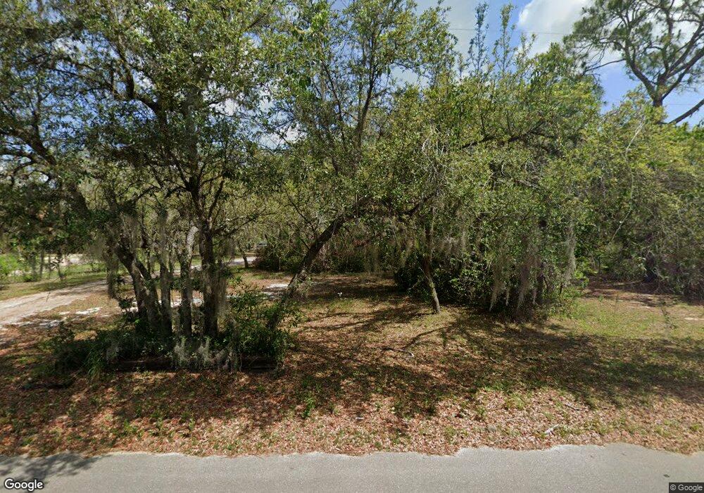
3801 Mccord Rd Lake Wales, FL 33898
Estimated Value: $256,000 - $361,000
3
Beds
2
Baths
1,066
Sq Ft
$285/Sq Ft
Est. Value
About This Home
This home is located at 3801 Mccord Rd, Lake Wales, FL 33898 and is currently estimated at $303,892, approximately $285 per square foot. 3801 Mccord Rd is a home located in Polk County with nearby schools including Sandhill Elementary School, Bartow Elementary Academy, and Mclaughlin Middle School And Fine Arts Academy.
Ownership History
Date
Name
Owned For
Owner Type
Purchase Details
Closed on
Sep 15, 2021
Sold by
Reaver Gary and Reaver Vivian
Bought by
Wade Lorrie B
Current Estimated Value
Purchase Details
Closed on
Mar 12, 2021
Sold by
Babcock William G and Swint Deborah I
Bought by
Babcock Deborah Inez Swint
Purchase Details
Closed on
Aug 12, 2020
Sold by
Strunkstein Mary Geraldine and Strunkstein Jacob C
Bought by
Strunkstein Martin J and Strunkstein Elaine J
Purchase Details
Closed on
Jan 24, 2020
Sold by
Jordan Jomarie and Baker Jomarie
Bought by
Baker Jomarie
Purchase Details
Closed on
Mar 6, 1995
Sold by
Farmers Home Admin
Bought by
Jordan Jomarie
Create a Home Valuation Report for This Property
The Home Valuation Report is an in-depth analysis detailing your home's value as well as a comparison with similar homes in the area
Home Values in the Area
Average Home Value in this Area
Purchase History
| Date | Buyer | Sale Price | Title Company |
|---|---|---|---|
| Wade Lorrie B | -- | Accommodation | |
| Babcock Deborah Inez Swint | -- | Accommodation | |
| Strunkstein Martin J | -- | Attorney | |
| Baker Jomarie | -- | Attorney | |
| Jordan Jomarie | $39,500 | -- |
Source: Public Records
Tax History Compared to Growth
Tax History
| Year | Tax Paid | Tax Assessment Tax Assessment Total Assessment is a certain percentage of the fair market value that is determined by local assessors to be the total taxable value of land and additions on the property. | Land | Improvement |
|---|---|---|---|---|
| 2025 | $3,185 | $196,891 | -- | -- |
| 2024 | $2,967 | $178,992 | -- | -- |
| 2023 | $2,967 | $162,720 | $0 | $0 |
| 2022 | $2,535 | $147,927 | $0 | $0 |
| 2021 | $2,312 | $134,479 | $15,000 | $119,479 |
| 2020 | $2,148 | $124,306 | $6,300 | $118,006 |
| 2018 | $690 | $46,293 | $0 | $0 |
| 2017 | $674 | $45,341 | $0 | $0 |
| 2016 | $636 | $44,408 | $0 | $0 |
| 2015 | $290 | $44,099 | $0 | $0 |
| 2014 | $582 | $43,749 | $0 | $0 |
Source: Public Records
Map
Nearby Homes
- 0 Phillips Rd Unit R4906744
- 0 Phillips Rd Unit R4906743
- 3842 Phillips Rd
- 6702 Rocky Point Rd Unit 4
- 6426 Jenny Dr
- 6424 Jenny Dr
- 4151 Nelson Rd
- 6774 Donaldson Dr
- 6747 Donaldson Dr
- 4202 Orchid Blvd
- 7040 Tamarind Dr
- 3705 Pine Cir
- 3211 Lupine Way
- 0 Orchid Blvd Unit MFRO6312416
- 4241 Camelia St
- 4365 Canal Rd
- 4244 Nandina St
- 6648 Cherry Pocket Rd
- 6437 Cherry Pocket Ln
- 4235 Jennings Fish Camp Rd
- 3759 Mccord Rd Unit 2
- 3759 Mccord Rd
- 3845 Mccord Rd
- 3717 Mccord Rd
- 0 Mccord Rd Unit P4609026
- 0 Mccord Rd Unit S4668638
- 3863 Mccord Rd
- 3816 Canal Rd
- 0 Young Rd Unit P4613052
- 0 Young Rd Unit MFRO6137242
- 0 Young Rd Unit T2543806
- 0 Young Rd Unit K4901850
- 0 Young Rd Unit L4636517
- 0 Young Rd Unit L4636558
- 0 Mccord Rd Unit L4649123
- 0 Mccord Unit K4586778
- 0 Mccord Unit K4586777
- 0 Mccord Unit K4586776
- 0 Mccord Unit K4586775
- 0 Mccord Rd Unit K4586984
