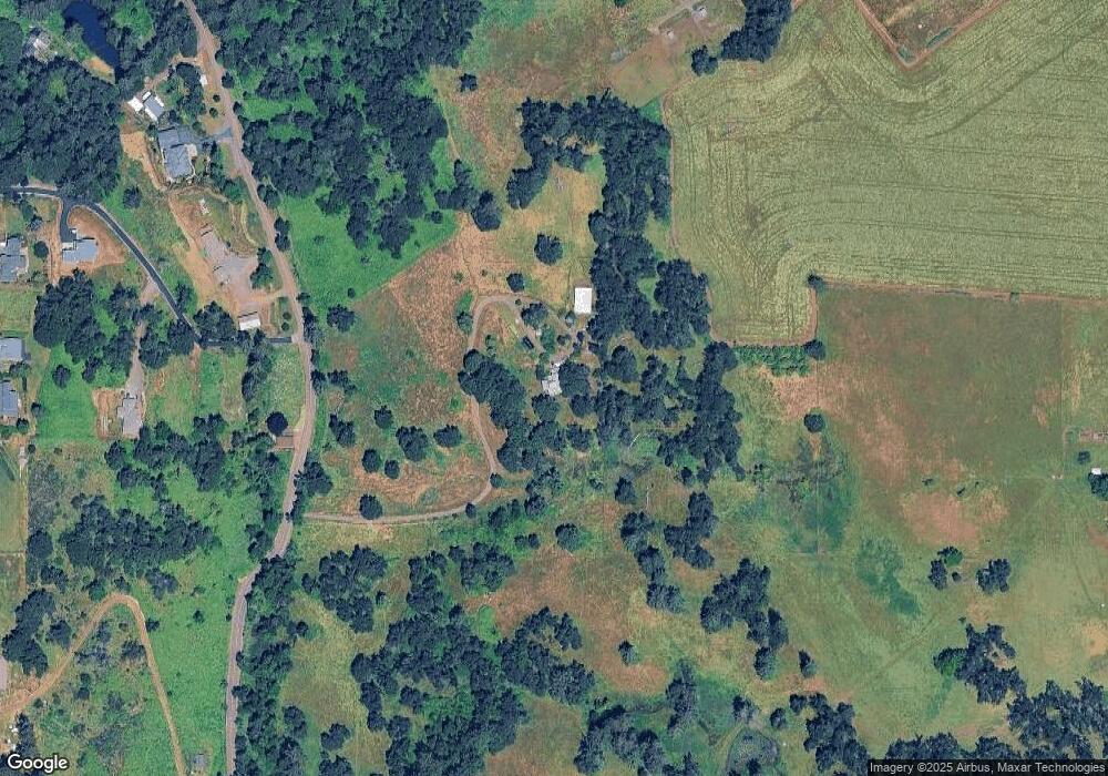
3802 Edison Rd NE Silverton, OR 97381
Estimated Value: $861,000 - $868,465
3
Beds
3
Baths
2,739
Sq Ft
$316/Sq Ft
Est. Value
About This Home
This home is located at 3802 Edison Rd NE, Silverton, OR 97381 and is currently estimated at $864,733, approximately $315 per square foot. 3802 Edison Rd NE is a home located in Marion County with nearby schools including Robert Frost Elementary School, Silverton Middle School, and Silverton High School.
Ownership History
Date
Name
Owned For
Owner Type
Purchase Details
Closed on
Dec 8, 2010
Sold by
Carr Joanne T
Bought by
Linthwaite Jon A and Linthwaite Kirsten A
Current Estimated Value
Home Financials for this Owner
Home Financials are based on the most recent Mortgage that was taken out on this home.
Original Mortgage
$300,000
Outstanding Balance
$196,248
Interest Rate
4.18%
Mortgage Type
New Conventional
Estimated Equity
$668,485
Purchase Details
Closed on
Jan 4, 2001
Sold by
Tait Stewart Michael Alan and Tait Stewart Joanne
Bought by
Stewart Joanne Tait
Create a Home Valuation Report for This Property
The Home Valuation Report is an in-depth analysis detailing your home's value as well as a comparison with similar homes in the area
Home Values in the Area
Average Home Value in this Area
Purchase History
| Date | Buyer | Sale Price | Title Company |
|---|---|---|---|
| Linthwaite Jon A | $375,000 | First American | |
| Stewart Joanne Tait | -- | -- |
Source: Public Records
Mortgage History
| Date | Status | Borrower | Loan Amount |
|---|---|---|---|
| Open | Linthwaite Jon A | $300,000 |
Source: Public Records
Tax History Compared to Growth
Tax History
| Year | Tax Paid | Tax Assessment Tax Assessment Total Assessment is a certain percentage of the fair market value that is determined by local assessors to be the total taxable value of land and additions on the property. | Land | Improvement |
|---|---|---|---|---|
| 2025 | $3,056 | $274,668 | -- | -- |
| 2024 | $3,056 | $266,794 | -- | -- |
| 2023 | $2,976 | $259,156 | $0 | $0 |
| 2022 | $2,796 | $503,472 | $0 | $0 |
| 2021 | $2,723 | $242,140 | $0 | $0 |
| 2020 | $2,592 | $204,920 | $0 | $0 |
| 2019 | $2,516 | $199,070 | $0 | $0 |
Source: Public Records
Map
Nearby Homes
- 4285 Edison Rd NE
- 1306 S Water St
- 1307 S Water (#64) St Unit 64
- 1307 S Water St
- 1307 S Water St Unit 62
- 0 Silver Creek Canyon (R38780) Unit 779326
- 1110 Madison St
- 312 Division St NE
- 4152 Delightful Ln
- 843 Sun Valley Ave
- 1451 Ryan Dr
- 121 Central St
- 15540 Quall Rd NE
- 0 Cowing St
- 1440 Meadow Ave
- 911 Oakleaf Way
- 541 Anderson Dr
- TA 102768 Anderson Dr
- 819 Riley Dr
- 500 Yapa Dr
- 3835 Edison Rd NE
- 13722 Edison Heights Ln NE
- 0 Edison Heights Ln NE
- 3955 Edison Rd NE
- 3985 Edison Rd NE
- 13691 Edison Heights Ln NE
- 4026 Edison Rd NE
- 4189 Victor Point Rd NE
- 13682 Edison Heights Ln NE
- 4066 Edison Rd NE
- - Edison Rd (46 Acres)
- 3995 Edison Rd NE
- 3745 Edison Rd NE
- 3875 Victor Point Rd NE
- 13849 Sunset Ln NE
- 4186 Edison Rd NE
- 3535 Edison Rd NE
- 1042 Woodland Dr NE
- 4079 Victor Point Rd NE
- 3871 Victor Point Rd NE
