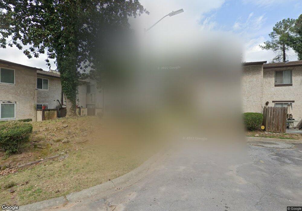
3802 Kensingwood Trace Unit 3802B Decatur, GA 30032
Estimated Value: $112,000 - $192,371
3
Beds
2
Baths
1,496
Sq Ft
$108/Sq Ft
Est. Value
About This Home
This home is located at 3802 Kensingwood Trace Unit 3802B, Decatur, GA 30032 and is currently estimated at $161,593, approximately $108 per square foot. 3802 Kensingwood Trace Unit 3802B is a home located in DeKalb County with nearby schools including Rowland Elementary School, Mary McLeod Bethune Middle School, and Towers High School.
Ownership History
Date
Name
Owned For
Owner Type
Purchase Details
Closed on
Mar 2, 2010
Sold by
Hud-Housing Of Urban Dev
Bought by
Cain Alva J
Current Estimated Value
Purchase Details
Closed on
Sep 2, 2008
Sold by
National Cty Bk
Bought by
Secretary Of Hsng & Urban Dev/
Purchase Details
Closed on
Jun 30, 2005
Sold by
Dooley Kenneth J
Bought by
Washington Faye
Home Financials for this Owner
Home Financials are based on the most recent Mortgage that was taken out on this home.
Original Mortgage
$77,503
Interest Rate
5.54%
Mortgage Type
VA
Purchase Details
Closed on
Jul 7, 2004
Sold by
Mintzer Melvin S
Bought by
Dooley Kenneth J
Home Financials for this Owner
Home Financials are based on the most recent Mortgage that was taken out on this home.
Original Mortgage
$53,675
Interest Rate
6.25%
Mortgage Type
New Conventional
Create a Home Valuation Report for This Property
The Home Valuation Report is an in-depth analysis detailing your home's value as well as a comparison with similar homes in the area
Home Values in the Area
Average Home Value in this Area
Purchase History
| Date | Buyer | Sale Price | Title Company |
|---|---|---|---|
| Cain Alva J | -- | -- | |
| Secretary Of Hsng & Urban Dev/ | -- | -- | |
| National Cty Mtg | $81,876 | -- | |
| Washington Faye | $79,900 | -- | |
| Dooley Kenneth J | $56,500 | -- |
Source: Public Records
Mortgage History
| Date | Status | Borrower | Loan Amount |
|---|---|---|---|
| Previous Owner | Washington Faye | $77,503 | |
| Previous Owner | Dooley Kenneth J | $53,675 |
Source: Public Records
Tax History Compared to Growth
Tax History
| Year | Tax Paid | Tax Assessment Tax Assessment Total Assessment is a certain percentage of the fair market value that is determined by local assessors to be the total taxable value of land and additions on the property. | Land | Improvement |
|---|---|---|---|---|
| 2024 | $2,333 | $52,160 | $4,800 | $47,360 |
| 2023 | $2,333 | $33,640 | $4,800 | $28,840 |
| 2022 | $1,750 | $39,320 | $4,800 | $34,520 |
| 2021 | $888 | $19,680 | $4,800 | $14,880 |
| 2020 | $1,309 | $29,280 | $4,800 | $24,480 |
| 2019 | $1,156 | $25,800 | $3,600 | $22,200 |
| 2018 | $469 | $17,800 | $3,600 | $14,200 |
| 2017 | $147 | $2,800 | $812 | $1,988 |
| 2016 | $148 | $2,800 | $812 | $1,988 |
| 2014 | $151 | $2,800 | $812 | $1,988 |
Source: Public Records
Map
Nearby Homes
- 3834 Kensingwood Trace
- 3800 Travis Trace
- 1068 Longshore Dr
- 1119 Oakwood Manor Ct
- 3751 Oakwood Manor
- 1129 Winston Dr
- Cabot Plan at Porter Reserve
- Buchanan Plan at Porter Reserve
- Ellison Plan at Porter Reserve
- Salisbury Plan at Porter Reserve
- Hartcliffe Plan at Porter Reserve
- 1178 Winston Dr
- 1127 Renee Dr
- 3744 Redan Rd
- 1089 Canal St
- 3806 London Dr
- 4011 Redan Rd Unit 8
- 4011 Redan Rd Unit 6
- 1146 Canal St
- 3873 Jane Marie Ln
- 3800 Kensingwood Trace
- 3804 Kensingwood Trace Unit 3804
- 3804 Kensingwood Trace
- 3804 Kensingwood Trace
- 3808 Kensingwood Trace
- 3806 Kensingwood Trace
- 3798 Kensingwood Trace Unit 3798
- 3810 Kensingwood Trace
- 3812 Kensingwood Trace
- 3820 Kensingwood Trace Unit 3820
- 3818 Kensingwood Trace Unit 3818
- 3816 Kensingwood Trace
- 3814 Kensingwood Trace Unit 3814
- 3822 Kensingwood Trace Unit 3822
- 3824 Kensingwood Trace Unit 3824
- 3828 Kensingwood Trace
- 3826 Kensingwood Trace Unit 3826
- 3794 Kensingwood Trace
- 3792 Kensingwood Trace
- 3786 Kensingwood Trace