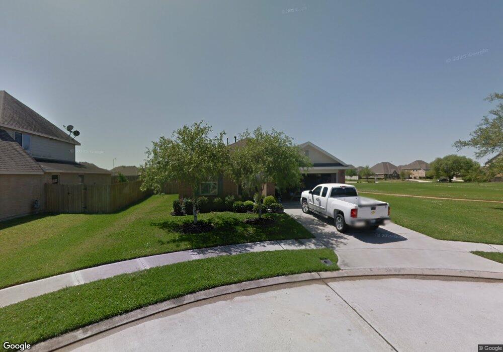
3802 Parry Ct Pearland, TX 77584
Estimated Value: $285,000 - $306,000
--
Bed
1
Bath
1,581
Sq Ft
$186/Sq Ft
Est. Value
About This Home
This home is located at 3802 Parry Ct, Pearland, TX 77584 and is currently estimated at $294,695, approximately $186 per square foot. 3802 Parry Ct is a home located in Brazoria County with nearby schools including Magnolia Elementary School, Pearland Junior High School South, and Sam Jamison Middle School.
Ownership History
Date
Name
Owned For
Owner Type
Purchase Details
Closed on
Jun 24, 2024
Sold by
Lowe David B and Lowe Devon
Bought by
510 Sfr Tx Operations I Llc
Current Estimated Value
Purchase Details
Closed on
Feb 7, 2007
Sold by
K Hovnanian Of Houston Ii Llc
Bought by
Lowe David B
Home Financials for this Owner
Home Financials are based on the most recent Mortgage that was taken out on this home.
Original Mortgage
$120,800
Interest Rate
8.62%
Mortgage Type
Purchase Money Mortgage
Create a Home Valuation Report for This Property
The Home Valuation Report is an in-depth analysis detailing your home's value as well as a comparison with similar homes in the area
Home Values in the Area
Average Home Value in this Area
Purchase History
| Date | Buyer | Sale Price | Title Company |
|---|---|---|---|
| 510 Sfr Tx Operations I Llc | -- | First American Title | |
| Lowe David B | -- | Alamo Title Company |
Source: Public Records
Mortgage History
| Date | Status | Borrower | Loan Amount |
|---|---|---|---|
| Previous Owner | Lowe David B | $120,800 | |
| Previous Owner | Lowe David B | $30,200 |
Source: Public Records
Tax History Compared to Growth
Tax History
| Year | Tax Paid | Tax Assessment Tax Assessment Total Assessment is a certain percentage of the fair market value that is determined by local assessors to be the total taxable value of land and additions on the property. | Land | Improvement |
|---|---|---|---|---|
| 2025 | $5,389 | $259,930 | $36,590 | $223,340 |
| 2023 | $5,389 | $233,954 | $36,590 | $233,940 |
| 2022 | $6,733 | $212,685 | $24,400 | $209,730 |
| 2021 | $6,567 | $193,350 | $24,400 | $168,950 |
| 2020 | $6,618 | $193,350 | $24,400 | $168,950 |
| 2019 | $6,017 | $171,010 | $24,400 | $146,610 |
| 2018 | $5,633 | $160,620 | $24,400 | $136,220 |
| 2017 | $5,846 | $166,060 | $24,400 | $141,660 |
| 2016 | $5,532 | $162,810 | $24,400 | $138,410 |
| 2014 | $4,543 | $138,050 | $24,400 | $113,650 |
Source: Public Records
Map
Nearby Homes
- 3804 Parry Fields Ct
- 3806 Canterbury Park Dr
- 3705 Canterbury Park Dr
- 3703 Canterbury Park Dr
- 4015 Cedarwood Dr
- 3910 Greenwood Dr
- 4013 Ivywood Dr
- 3509 Pentland Downs St
- 4806 Chaperel Dr
- 3911 Spring Garden Dr
- 3307 Norma Ln
- 16622 Mclean Rd
- 5101 Big Spring Dr
- 16719 Mclean Rd
- 7206 Williams Rd
- 5205 Spring Branch Dr
- 4967 Millican Dr
- 4004 Green Anjou Ln
- 4013 Green Anjou Ln
- 3224 Woodrose Orchard
- 3802 Parry Field Ct
- 3804 Parry Field Ct
- 3806 Parry Field Ct
- 3801 Parry Field Ct
- 3803 Parry Field Ct
- 3808 Parry Field Ct
- 3714 Burwood Ct
- 3805 Parry Field Ct
- 3807 Parry Field Ct
- 3810 Parry Field Ct
- 3711 Burwood Ct
- 3802 Canterbury Park Dr
- 3712 Burwood Ct
- 4001 Ashwood Dr
- 4003 Ashwood Dr
- 4005 Ashwood Dr
- 3804 Canterbury Park Dr
- 3809 Parry Field Ct
- 3709 Burwood Ct
- 4007 Ashwood Dr