3802 Tabacum Ct Upper Marlboro, MD 20774
Estimated Value: $697,000 - $823,000
--
Bed
1
Bath
3,176
Sq Ft
$244/Sq Ft
Est. Value
About This Home
This home is located at 3802 Tabacum Ct, Upper Marlboro, MD 20774 and is currently estimated at $775,079, approximately $244 per square foot. 3802 Tabacum Ct is a home located in Prince George's County with nearby schools including Patuxent Elementary School, James Madison Middle School, and Dr. Henry A. Wise Jr. High School.
Ownership History
Date
Name
Owned For
Owner Type
Purchase Details
Closed on
Aug 16, 2019
Sold by
U S Home Corporation
Bought by
Matthews Bland Kara Yasmin and Bland Edward Leon
Current Estimated Value
Home Financials for this Owner
Home Financials are based on the most recent Mortgage that was taken out on this home.
Original Mortgage
$554,585
Outstanding Balance
$485,714
Interest Rate
3.7%
Mortgage Type
FHA
Estimated Equity
$289,365
Purchase Details
Closed on
Mar 1, 2019
Sold by
Vob Limited Partnership
Bought by
Us Home Corporation and Lennar
Create a Home Valuation Report for This Property
The Home Valuation Report is an in-depth analysis detailing your home's value as well as a comparison with similar homes in the area
Home Values in the Area
Average Home Value in this Area
Purchase History
| Date | Buyer | Sale Price | Title Company |
|---|---|---|---|
| Matthews Bland Kara Yasmin | $564,816 | Calatlantic Title Of Md Inc | |
| Us Home Corporation | $509,655 | Calatlantic Title Of Md Inc |
Source: Public Records
Mortgage History
| Date | Status | Borrower | Loan Amount |
|---|---|---|---|
| Open | Matthews Bland Kara Yasmin | $554,585 |
Source: Public Records
Tax History Compared to Growth
Tax History
| Year | Tax Paid | Tax Assessment Tax Assessment Total Assessment is a certain percentage of the fair market value that is determined by local assessors to be the total taxable value of land and additions on the property. | Land | Improvement |
|---|---|---|---|---|
| 2025 | $9,744 | $697,800 | $211,700 | $486,100 |
| 2024 | $9,744 | $648,633 | $0 | $0 |
| 2023 | $9,033 | $599,467 | $0 | $0 |
| 2022 | $8,323 | $550,300 | $126,700 | $423,600 |
| 2021 | $8,049 | $531,333 | $0 | $0 |
| 2020 | $7,775 | $512,367 | $0 | $0 |
| 2019 | $1,085 | $75,800 | $75,800 | $0 |
| 2018 | $1,136 | $75,800 | $75,800 | $0 |
| 2017 | $166 | $11,200 | $0 | $0 |
Source: Public Records
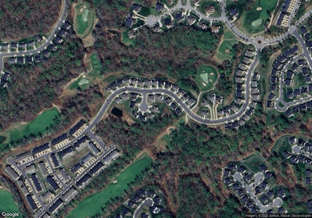
Map
Nearby Homes
- 3807 Pentland Hills Dr
- 3823 Effie Fox Way
- 15318 Governors Park Ln
- 15701 Norus St
- 15700 Grand St
- 15407 Governors Park Ln
- 15411 Governors Park Ln
- 3902 Presidential Golf Dr
- 15312 Sir Edwards Dr
- 15308 Littleton Place
- 15606 Beech Tree Pkwy
- 15200 Peerless Ave
- 16115 Brookmead Ct
- 15608 Bibury Alley
- 16201 Brookmead Ct
- 14508 Brock Hall Dr
- 4661 Crain Hwy
- 3200 Eton Dr
- 15503 Humberside Way
- 3002 Presidential Golf Dr
- 3804 Tabacum Ct Unit SH17
- 3714 Pentland Hills Dr
- 3710 Pentland Hills Dr
- 3806 Tabacum Ct Unit SH18
- 3806 Tabacum Ct
- 3706 Pentland Hills Dr
- 3706 Pentland Hills Dr Unit SH13
- 3706 Pintail Ct
- 3702 Pentland Hills Dr
- 3805 Tabacum Ct
- 3805 Tabacum Ct Unit SH19
- 3713 Pentland Hills Dr
- 0 Pentland Hills Dr Unit SG19 MDPG499866
- 0 Pentland Hills Dr Unit SH06 MDPG499876
- 0 Pentland Hills Dr Unit SG22 MDPG499872
- 0 Pentland Hills Dr Unit SG28 1001869832
- 0 Pentland Hills Dr Unit MDPG459528
- 0 Pentland Hills Dr Unit SG06 MDPG377752
- 0 Pentland Hills Dr Unit MDPG375330
- 0 Pentland Hills Dr Unit MDPG375404