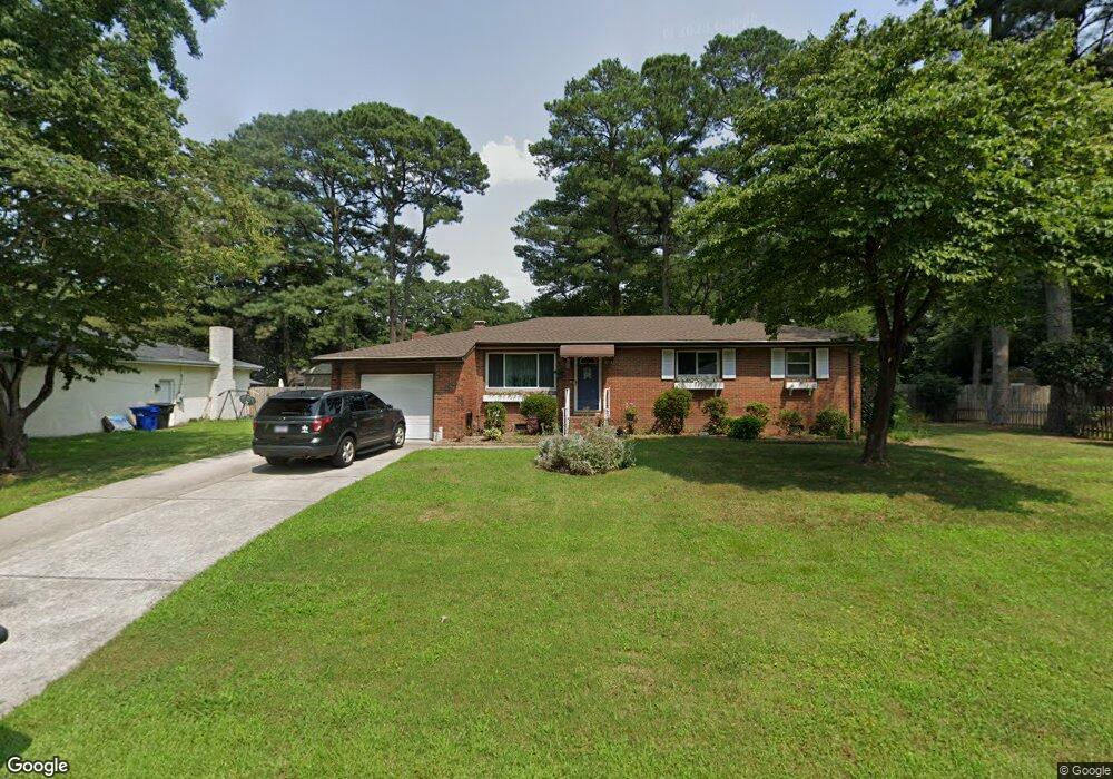
3803 Aspin St Portsmouth, VA 23703
Churchland NeighborhoodEstimated Value: $297,739 - $326,000
3
Beds
2
Baths
1,393
Sq Ft
$224/Sq Ft
Est. Value
About This Home
This home is located at 3803 Aspin St, Portsmouth, VA 23703 and is currently estimated at $312,185, approximately $224 per square foot. 3803 Aspin St is a home located in Portsmouth City with nearby schools including Churchland Primary/Intermediate School, Churchland Middle School, and Churchland High School.
Ownership History
Date
Name
Owned For
Owner Type
Purchase Details
Closed on
Nov 24, 2015
Sold by
Mobley Larry L and Mobley Linda F
Bought by
Carl Lester M and Carl Kathy M
Current Estimated Value
Home Financials for this Owner
Home Financials are based on the most recent Mortgage that was taken out on this home.
Original Mortgage
$136,000
Outstanding Balance
$107,040
Interest Rate
3.89%
Mortgage Type
New Conventional
Estimated Equity
$205,145
Create a Home Valuation Report for This Property
The Home Valuation Report is an in-depth analysis detailing your home's value as well as a comparison with similar homes in the area
Home Values in the Area
Average Home Value in this Area
Purchase History
| Date | Buyer | Sale Price | Title Company |
|---|---|---|---|
| Carl Lester M | $170,000 | Raintree Title & Escrow |
Source: Public Records
Mortgage History
| Date | Status | Borrower | Loan Amount |
|---|---|---|---|
| Open | Carl Lester M | $136,000 |
Source: Public Records
Tax History Compared to Growth
Tax History
| Year | Tax Paid | Tax Assessment Tax Assessment Total Assessment is a certain percentage of the fair market value that is determined by local assessors to be the total taxable value of land and additions on the property. | Land | Improvement |
|---|---|---|---|---|
| 2025 | $3,116 | $247,740 | $99,000 | $148,740 |
| 2024 | $3,116 | $239,430 | $99,000 | $140,430 |
| 2023 | $2,978 | $238,250 | $99,000 | $139,250 |
| 2022 | $3,006 | $231,240 | $82,500 | $148,740 |
| 2021 | $2,544 | $195,690 | $57,630 | $138,060 |
| 2020 | $2,354 | $181,090 | $54,890 | $126,200 |
| 2019 | $2,339 | $179,900 | $54,890 | $125,010 |
| 2018 | $2,385 | $183,460 | $54,890 | $128,570 |
| 2017 | $2,385 | $183,460 | $54,890 | $128,570 |
| 2016 | $2,385 | $183,460 | $54,890 | $128,570 |
| 2015 | $2,339 | $179,900 | $54,890 | $125,010 |
| 2014 | $2,285 | $179,900 | $54,890 | $125,010 |
Source: Public Records
Map
Nearby Homes
- 3705 Bamboo Rd
- 3715 Magnolia Dr
- 8110 Lee Hall Ave
- 5226 Moreland St
- 3836 Old Farm Rd
- 3807 Springbloom Dr
- 2173 Humphreys Dr
- 3791 Towne Point Rd
- 3817 Harvest Ct
- 3913 Stateflower Ct
- 206 Rockwood Place
- 3877 Peachtree Ln W
- 3818 Peach Orchard Cir
- 6109 Compton Ct
- 3660B Towne Point Rd Unit A
- 3866 Augustine Cir
- 6215 Cambridge Dr
- 3860 Sugar Creek Cir
- 6417 Pelican Crescent N
- 3604 Pierce St