Estimated Value: $167,000 - $205,000
3
Beds
2
Baths
1,104
Sq Ft
$162/Sq Ft
Est. Value
About This Home
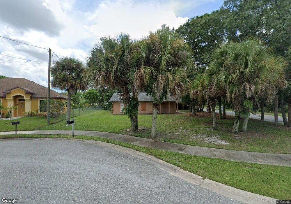
This home is located at 3803 Goode Cir, Cocoa, FL 32926 and is currently estimated at $178,799, approximately $161 per square foot. 3803 Goode Cir is a home located in Brevard County with nearby schools including Saturn Elementary School, Ronald McNair Magnet Middle School, and Rockledge Senior High School.
Ownership History
Date
Name
Owned For
Owner Type
Purchase Details
Closed on
Aug 18, 2003
Sold by
Space Coast Habitat For Humanity Inc
Bought by
Coalition For The Hungry & Homeless Of B
Current Estimated Value
Home Financials for this Owner
Home Financials are based on the most recent Mortgage that was taken out on this home.
Original Mortgage
$47,500
Interest Rate
5.72%
Purchase Details
Closed on
Jan 27, 2003
Sold by
Clerk Circuit Court
Bought by
Space Coast Habitat For Humanity Inc
Purchase Details
Closed on
Jul 3, 1998
Sold by
Space Coast Habitat For Humanity Inc
Bought by
Ferguson Gregory and Ferguson Margie
Home Financials for this Owner
Home Financials are based on the most recent Mortgage that was taken out on this home.
Original Mortgage
$31,584
Interest Rate
7.04%
Purchase Details
Closed on
Sep 13, 1993
Sold by
Holderman Edna Mae
Bought by
Space Coast Habitat For Humanity Inc
Create a Home Valuation Report for This Property
The Home Valuation Report is an in-depth analysis detailing your home's value as well as a comparison with similar homes in the area
Home Values in the Area
Average Home Value in this Area
Purchase History
| Date | Buyer | Sale Price | Title Company |
|---|---|---|---|
| Coalition For The Hungry & Homeless Of B | $32,000 | Gulfatlantic Title | |
| Space Coast Habitat For Humanity Inc | -- | -- | |
| Ferguson Gregory | $31,600 | -- | |
| Space Coast Habitat For Humanity Inc | $22,700 | -- |
Source: Public Records
Mortgage History
| Date | Status | Borrower | Loan Amount |
|---|---|---|---|
| Closed | Coalition For The Hungry & Homeless Of B | $47,500 | |
| Previous Owner | Ferguson Gregory | $31,584 |
Source: Public Records
Tax History
| Year | Tax Paid | Tax Assessment Tax Assessment Total Assessment is a certain percentage of the fair market value that is determined by local assessors to be the total taxable value of land and additions on the property. | Land | Improvement |
|---|---|---|---|---|
| 2025 | $569 | $158,160 | -- | -- |
| 2024 | $553 | $156,290 | -- | -- |
| 2023 | $553 | $130,180 | $0 | $0 |
| 2022 | $536 | $113,570 | $0 | $0 |
| 2021 | $519 | $89,650 | $10,000 | $79,650 |
| 2020 | $469 | $86,850 | $10,000 | $76,850 |
| 2019 | $411 | $82,940 | $10,000 | $72,940 |
| 2018 | $406 | $76,240 | $9,000 | $67,240 |
| 2017 | $394 | $67,000 | $9,000 | $58,000 |
| 2016 | $388 | $62,270 | $9,000 | $53,270 |
| 2015 | $376 | $51,170 | $9,000 | $42,170 |
| 2014 | $376 | $46,520 | $9,000 | $37,520 |
Source: Public Records
Map
Nearby Homes
- 3801 Goode Cir
- 0 Roberson Unit 507530
- 0 Roberson Unit 507531
- 0 Roberson Unit 507533
- 0 Roberson Unit 543101
- 0 Roberson Unit 543103
- 0 Roberson Unit 543105
- 0 Roberson Unit 489570
- 0 Roberson Unit 489586
- 0 Roberson Unit 489578
- 367 Pinehill St
- 0 Unknown Cir Unit 769284
- Unknown Goode Cir
- 0 Unknown Cir Unit 912812
- 379 Pinehill St
- 355 Pinehill St
- 382 Robeson Rd
- Unknown Robeson Rd
- 341 Pinehill St
- 395 Pinehill St
Your Personal Tour Guide
Ask me questions while you tour the home.