3804 Quailhollow Ct Springfield, OH 45502
Estimated Value: $261,113 - $287,000
3
Beds
2
Baths
1,670
Sq Ft
$166/Sq Ft
Est. Value
About This Home
This home is located at 3804 Quailhollow Ct, Springfield, OH 45502 and is currently estimated at $276,778, approximately $165 per square foot. 3804 Quailhollow Ct is a home located in Clark County with nearby schools including Greenon Elementary School, Greenon Jr. High School, and Greenon High School.
Ownership History
Date
Name
Owned For
Owner Type
Purchase Details
Closed on
Jan 16, 2025
Sold by
Utrup Laura M and Bremer Laura M
Bought by
Utrup Scott L
Current Estimated Value
Home Financials for this Owner
Home Financials are based on the most recent Mortgage that was taken out on this home.
Original Mortgage
$175,000
Outstanding Balance
$173,735
Interest Rate
6.6%
Mortgage Type
New Conventional
Estimated Equity
$103,043
Purchase Details
Closed on
Jun 14, 2019
Sold by
Henry Zachary R
Bought by
Utrup Scott L and Utrup Laura M
Home Financials for this Owner
Home Financials are based on the most recent Mortgage that was taken out on this home.
Original Mortgage
$176,739
Interest Rate
4%
Mortgage Type
FHA
Purchase Details
Closed on
Apr 10, 2012
Sold by
Pertiut Sandra A and Pertiut Sandra A
Bought by
Henry Zachary R
Home Financials for this Owner
Home Financials are based on the most recent Mortgage that was taken out on this home.
Original Mortgage
$107,000
Interest Rate
3.9%
Mortgage Type
New Conventional
Purchase Details
Closed on
Mar 22, 2012
Sold by
Pack Henery A and Pack Peggy
Bought by
Pertuit Sandra A and Martin Sandra A
Home Financials for this Owner
Home Financials are based on the most recent Mortgage that was taken out on this home.
Original Mortgage
$107,000
Interest Rate
3.9%
Mortgage Type
New Conventional
Purchase Details
Closed on
Apr 14, 2008
Sold by
Martin Raymond C
Bought by
Pertiut Sandra A and Martin Sandra A
Purchase Details
Closed on
Aug 25, 2006
Sold by
Martin Raymond C and Martin Sandra A
Bought by
Pack Henery A
Home Financials for this Owner
Home Financials are based on the most recent Mortgage that was taken out on this home.
Original Mortgage
$144,000
Interest Rate
6.7%
Mortgage Type
Seller Take Back
Purchase Details
Closed on
May 16, 2002
Sold by
Brandin Keith R
Bought by
Martin Raymond C and Martin Sandra A
Home Financials for this Owner
Home Financials are based on the most recent Mortgage that was taken out on this home.
Original Mortgage
$149,736
Interest Rate
7.16%
Mortgage Type
VA
Purchase Details
Closed on
Apr 1, 1979
Create a Home Valuation Report for This Property
The Home Valuation Report is an in-depth analysis detailing your home's value as well as a comparison with similar homes in the area
Home Values in the Area
Average Home Value in this Area
Purchase History
| Date | Buyer | Sale Price | Title Company |
|---|---|---|---|
| Utrup Scott L | -- | Northwest Union Title, Llc | |
| Utrup Scott L | $180,000 | Prominent Title Agency Llc | |
| Henry Zachary R | $127,000 | None Available | |
| Pertuit Sandra A | -- | None Available | |
| Pertiut Sandra A | -- | Attorney | |
| Pack Henery A | $144,000 | None Available | |
| Martin Raymond C | $146,800 | -- | |
| -- | $63,900 | -- |
Source: Public Records
Mortgage History
| Date | Status | Borrower | Loan Amount |
|---|---|---|---|
| Open | Utrup Scott L | $175,000 | |
| Previous Owner | Utrup Scott L | $176,739 | |
| Previous Owner | Henry Zachary R | $107,000 | |
| Previous Owner | Pack Henery A | $144,000 | |
| Previous Owner | Martin Raymond C | $149,736 |
Source: Public Records
Tax History Compared to Growth
Tax History
| Year | Tax Paid | Tax Assessment Tax Assessment Total Assessment is a certain percentage of the fair market value that is determined by local assessors to be the total taxable value of land and additions on the property. | Land | Improvement |
|---|---|---|---|---|
| 2024 | $2,786 | $53,230 | $14,430 | $38,800 |
| 2023 | $2,786 | $53,230 | $14,430 | $38,800 |
| 2022 | $2,783 | $53,230 | $14,430 | $38,800 |
| 2021 | $2,862 | $48,440 | $11,830 | $36,610 |
| 2020 | $2,870 | $48,440 | $11,830 | $36,610 |
| 2019 | $2,909 | $48,440 | $11,830 | $36,610 |
| 2018 | $2,743 | $44,720 | $12,540 | $32,180 |
| 2017 | $2,749 | $41,609 | $12,541 | $29,068 |
| 2016 | $2,396 | $41,609 | $12,541 | $29,068 |
| 2015 | $2,461 | $40,898 | $11,830 | $29,068 |
| 2014 | $2,466 | $40,898 | $11,830 | $29,068 |
| 2013 | $2,169 | $40,898 | $11,830 | $29,068 |
Source: Public Records
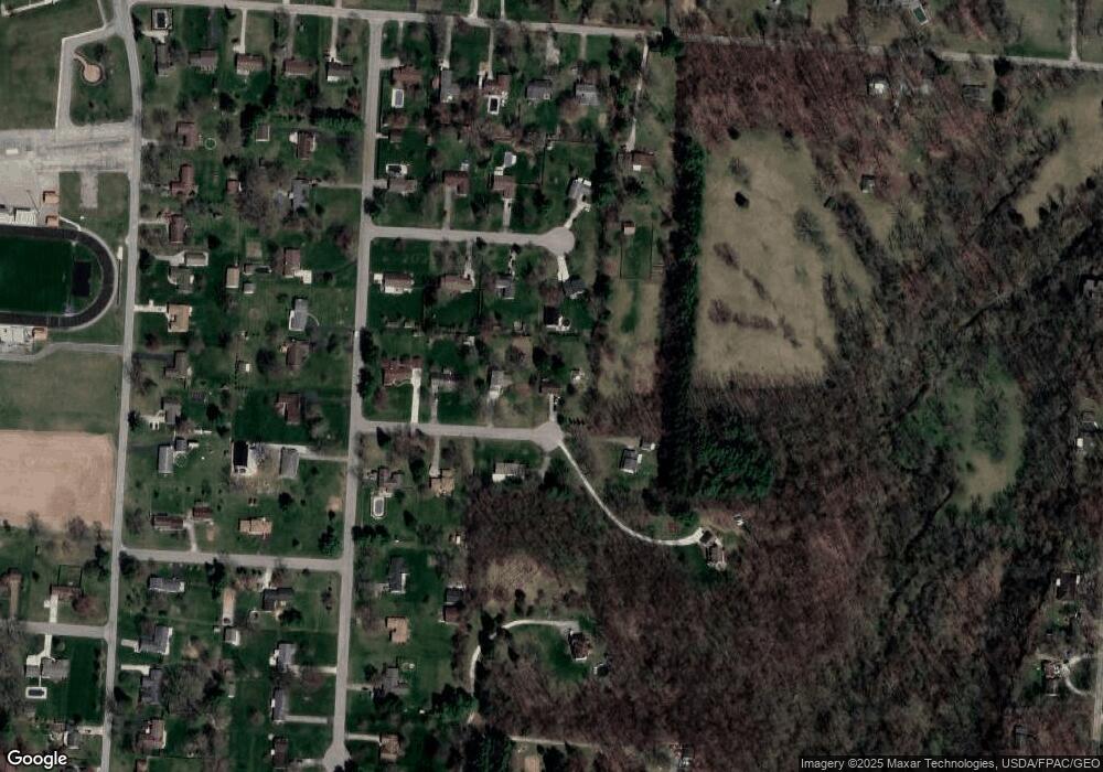
Map
Nearby Homes
- 3000 Rebert Pike
- 5152 S Tecumseh Rd
- 4676 Sullivan Rd
- 4311 Lone Wolf Ave
- 3072 Fowler Rd
- 5177 Outerview Dr
- 5540 Broadway Rd
- 4341 Lone Wolf Ave
- 2600 Brookdale Dr
- 2064 Fairfield Pike
- 5822 Broadway Rd
- 68 Skyline Dr
- 1810 Old Mill Rd
- 4742 Peacock Rd
- 1616 Crest Dr
- Tract 2 W Jackson Rd
- 3131 Springfield Xenia Rd
- 2531 W Jackson Rd
- 25 Sunnybrook Trail
- 3824 Quailhollow Ct
- 3801 Westcliff Ct
- 3819 Quailhollow Ct
- 3801 Quailhollow Ct
- 3821 Westcliff Ct
- 3842 Quailhollow Ct
- 3839 Quailhollow Ct
- 3864 Quailhollow Ct
- 3867 Westcliff Ct
- 3800 Westcliff Ct
- 3822 Westcliff Ct
- 3861 Quailhollow Ct
- 3811 Quailhollow Ct
- 3844 Westcliff Ct
- 3749 Rocky Point Rd
- 4280 Grossepoint
- 3868 Westcliff Ct
- 4420 S Tecumseh Rd
- 4155 Grossepoint
- 4185 Grossepoint