Estimated Value: $25,917 - $1,706,000
--
Bed
--
Bath
1,848
Sq Ft
$307/Sq Ft
Est. Value
About This Home
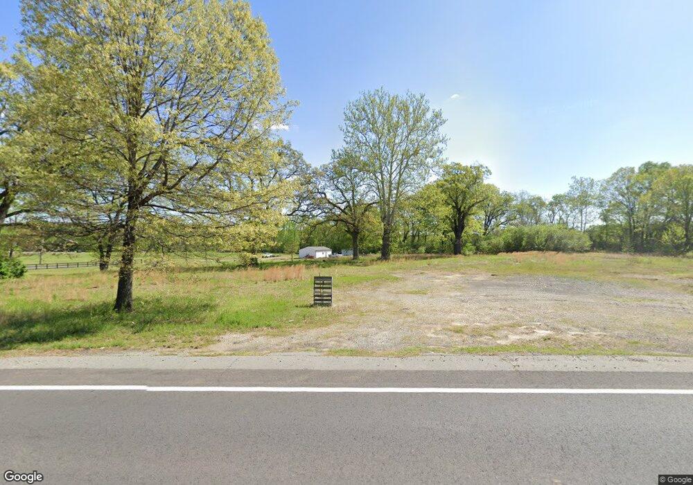
This home is located at 3805 Highway 89 S, Cabot, AR 72023 and is currently estimated at $566,729, approximately $306 per square foot. 3805 Highway 89 S is a home located in Lonoke County with nearby schools including Southside Elementary School, Cabot Junior High South, and Cabot Middle School South.
Ownership History
Date
Name
Owned For
Owner Type
Purchase Details
Closed on
Mar 4, 2022
Sold by
Arlon Guess Jr Wayne and Arlon Sandra L
Bought by
Salt & Light Wellness Center Of Cabot Llc
Current Estimated Value
Purchase Details
Closed on
Oct 6, 2011
Sold by
Theroux James and Theroux Mary Ruth
Bought by
Owens Mary Ruth and Owens Timothy Lee
Purchase Details
Closed on
Oct 26, 2001
Bought by
Theroux James and Theroux Mary R
Purchase Details
Closed on
Feb 3, 1995
Bought by
James and Nancy Theroux
Create a Home Valuation Report for This Property
The Home Valuation Report is an in-depth analysis detailing your home's value as well as a comparison with similar homes in the area
Home Values in the Area
Average Home Value in this Area
Purchase History
| Date | Buyer | Sale Price | Title Company |
|---|---|---|---|
| Salt & Light Wellness Center Of Cabot Llc | $127,700 | Professional Land Title | |
| Owens Mary Ruth | -- | -- | |
| Rick Loring Rachel | -- | -- | |
| Owens Mary Ruth | -- | -- | |
| Rick Loring Rachel | -- | -- | |
| Theroux James | -- | -- | |
| James | -- | -- |
Source: Public Records
Tax History Compared to Growth
Tax History
| Year | Tax Paid | Tax Assessment Tax Assessment Total Assessment is a certain percentage of the fair market value that is determined by local assessors to be the total taxable value of land and additions on the property. | Land | Improvement |
|---|---|---|---|---|
| 2025 | $80 | $1,740 | $1,740 | -- |
| 2024 | $80 | $1,740 | $1,740 | $0 |
| 2023 | $80 | $1,740 | $1,740 | $0 |
| 2022 | $80 | $1,740 | $1,740 | $0 |
| 2021 | $103 | $2,240 | $2,240 | $0 |
| 2020 | $77 | $1,680 | $1,680 | $0 |
| 2019 | $77 | $1,680 | $1,680 | $0 |
| 2018 | $77 | $1,680 | $1,680 | $0 |
| 2017 | $71 | $1,680 | $1,680 | $0 |
| 2016 | $77 | $1,680 | $1,680 | $0 |
| 2015 | $385 | $9,080 | $1,680 | $7,400 |
| 2014 | $417 | $9,080 | $1,680 | $7,400 |
Source: Public Records
Map
Nearby Homes
- 33 Ravell Rd
- 29 Calvados Ct
- 28 Calvados Ct
- 11 Calvados Ct
- 13 Calvados Ct
- 11 Brixton
- 30 Ravell
- 29 Mcclellan Dr
- 21 Wolfsbridge Loop
- 19 Wolfsbridge Loop
- 17 Wolfsbridge Loop
- 15 Wolfsbridge Loop
- 13 Wolfsbridge Loop
- 36 Brentwood Cove
- 75 Chickadee Cove
- 9 Kings Rd
- 15 Castle Heights Dr
- 885 Mount Carmel Rd
- 400 Mount Carmel Rd
- 0 Windwood Dr
- 3805 Highway 89 S
- 105 Guess Ln
- 3865 Highway 89 S
- 36 Guess Ln
- 3875 Highway 89 S
- 3885 Highway 89 S
- 24 Guess Ln
- 3645 Arkansas 89
- 3645 Highway 89 S
- 3645 Highway 89 S
- 1901-1903 S Pine
- 3990 Highway 89 S
- 3810 Highway 89 S
- 3810 Hwy 89 S
- 000 Pickthorne Rd
- 20 Mount Tabor W
- 3610 Highway 89 S
- 3610 Arkansas 89
- 30 Ravelle
- LOT 188 Mt Tabor Rd