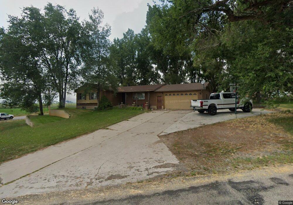
3805 N 3200 W Smithfield, UT 84335
Estimated Value: $393,000 - $580,000
Studio
--
Bath
1,475
Sq Ft
$323/Sq Ft
Est. Value
About This Home
This home is located at 3805 N 3200 W, Smithfield, UT 84335 and is currently estimated at $476,182, approximately $322 per square foot. 3805 N 3200 W is a home with nearby schools including Birch Creek School, Cedar Ridge School, and North Cache Middle School.
Ownership History
Date
Name
Owned For
Owner Type
Purchase Details
Closed on
Apr 7, 2025
Sold by
Ballard Jeffrey W and Ballard Trudy Ann
Bought by
Jeffrey And Trudy Ann Ballard Living Trust and Ballard
Current Estimated Value
Home Financials for this Owner
Home Financials are based on the most recent Mortgage that was taken out on this home.
Original Mortgage
$150,000
Outstanding Balance
$149,063
Interest Rate
6.65%
Mortgage Type
Credit Line Revolving
Estimated Equity
$327,119
Purchase Details
Closed on
Dec 6, 2018
Sold by
Mearns Andrea B
Bought by
Ballard Jeffrey W and Ballard Trudy Ann
Purchase Details
Closed on
Nov 29, 2018
Sold by
Ballard Jeffrey W and Ballard Trudy Ann
Bought by
Ballard Jeffrey W and Ballard Trudy Ann
Purchase Details
Closed on
Feb 27, 2013
Sold by
Ballard Jeffery W and Ballard Trudy Ann T
Bought by
Mearns Andrea B and Ballard Family Trust
Create a Home Valuation Report for This Property
The Home Valuation Report is an in-depth analysis detailing your home's value as well as a comparison with similar homes in the area
Home Values in the Area
Average Home Value in this Area
Purchase History
| Date | Buyer | Sale Price | Title Company |
|---|---|---|---|
| Jeffrey And Trudy Ann Ballard Living Trust | -- | Alliance Title Company | |
| Ballard Jeffrey W | -- | Alliance Title Company | |
| Ballard Jeffrey W | -- | None Available | |
| Ballard Jeffrey W | -- | None Available | |
| Mearns Andrea B | -- | Hickman Land Title Company |
Source: Public Records
Mortgage History
| Date | Status | Borrower | Loan Amount |
|---|---|---|---|
| Open | Ballard Jeffrey W | $150,000 |
Source: Public Records
Tax History
| Year | Tax Paid | Tax Assessment Tax Assessment Total Assessment is a certain percentage of the fair market value that is determined by local assessors to be the total taxable value of land and additions on the property. | Land | Improvement |
|---|---|---|---|---|
| 2025 | $1,530 | $250,125 | $0 | $0 |
| 2024 | $1,654 | $250,125 | $0 | $0 |
| 2023 | $1,739 | $246,000 | $0 | $0 |
| 2022 | $1,555 | $210,250 | $0 | $0 |
| 2021 | $1,464 | $305,020 | $47,500 | $257,520 |
| 2020 | $1,333 | $262,100 | $47,500 | $214,600 |
| 2019 | $1,182 | $219,704 | $47,500 | $172,204 |
| 2018 | $1,070 | $193,436 | $47,500 | $145,936 |
| 2017 | $992 | $94,490 | $0 | $0 |
| 2016 | $1,004 | $94,490 | $0 | $0 |
| 2015 | $1,002 | $94,490 | $0 | $0 |
| 2014 | $957 | $93,135 | $0 | $0 |
| 2013 | -- | $93,135 | $0 | $0 |
Source: Public Records
Map
Nearby Homes
Your Personal Tour Guide
Ask me questions while you tour the home.