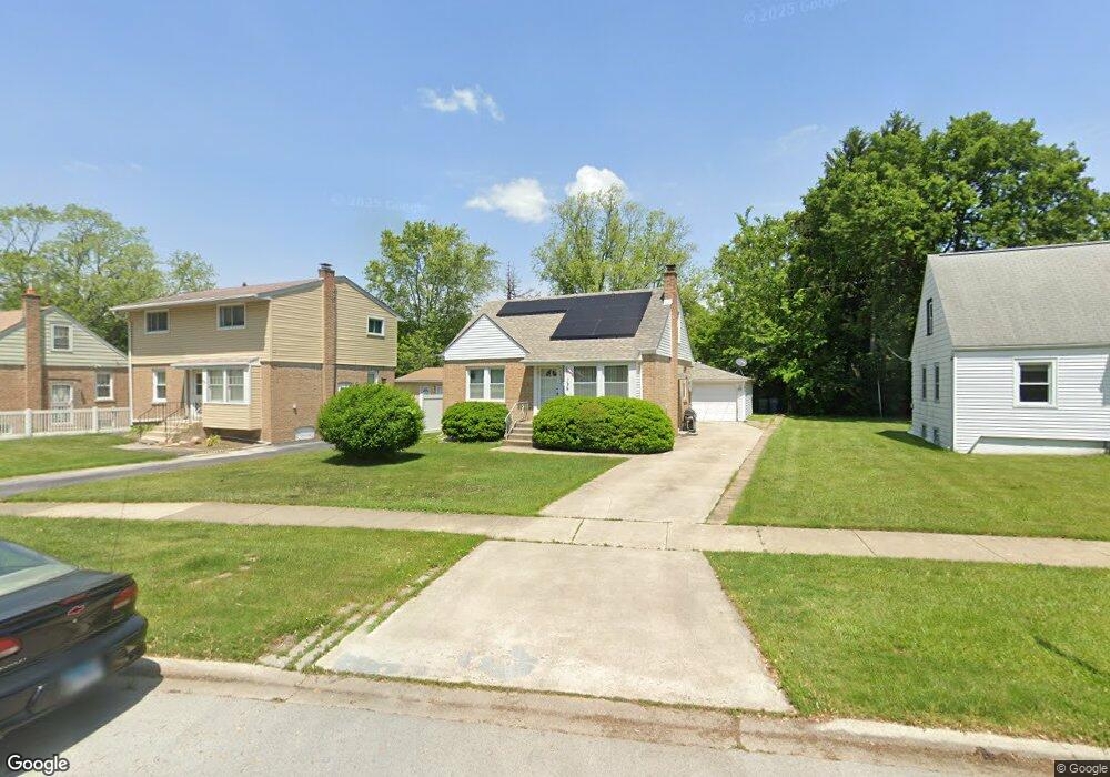
3806 217th St Matteson, IL 60443
Old Matteson NeighborhoodEstimated Value: $146,000 - $175,000
3
Beds
1
Bath
764
Sq Ft
$214/Sq Ft
Est. Value
About This Home
This home is located at 3806 217th St, Matteson, IL 60443 and is currently estimated at $163,437, approximately $213 per square foot. 3806 217th St is a home located in Cook County with nearby schools including Illinois School, Matteson Elementary School, and Sauk Elementary School.
Ownership History
Date
Name
Owned For
Owner Type
Purchase Details
Closed on
May 27, 2005
Sold by
Rundles Joann
Bought by
Weiss Douglas S
Current Estimated Value
Home Financials for this Owner
Home Financials are based on the most recent Mortgage that was taken out on this home.
Original Mortgage
$108,800
Outstanding Balance
$64,680
Interest Rate
7.99%
Mortgage Type
Unknown
Estimated Equity
$98,757
Create a Home Valuation Report for This Property
The Home Valuation Report is an in-depth analysis detailing your home's value as well as a comparison with similar homes in the area
Home Values in the Area
Average Home Value in this Area
Purchase History
| Date | Buyer | Sale Price | Title Company |
|---|---|---|---|
| Weiss Douglas S | $136,000 | To |
Source: Public Records
Mortgage History
| Date | Status | Borrower | Loan Amount |
|---|---|---|---|
| Open | Weiss Douglas S | $108,800 | |
| Closed | Weiss Douglas S | $27,200 |
Source: Public Records
Tax History Compared to Growth
Tax History
| Year | Tax Paid | Tax Assessment Tax Assessment Total Assessment is a certain percentage of the fair market value that is determined by local assessors to be the total taxable value of land and additions on the property. | Land | Improvement |
|---|---|---|---|---|
| 2024 | $2,219 | $12,000 | $2,112 | $9,888 |
| 2023 | -- | $12,000 | $2,112 | $9,888 |
| 2022 | $0 | $6,730 | $1,848 | $4,882 |
| 2021 | $2,445 | $6,730 | $1,848 | $4,882 |
| 2020 | $2,445 | $8,523 | $1,848 | $6,675 |
| 2019 | $2,115 | $7,515 | $1,716 | $5,799 |
| 2018 | $3,112 | $10,137 | $1,716 | $8,421 |
| 2017 | $3,359 | $10,137 | $1,716 | $8,421 |
| 2016 | $1,869 | $6,298 | $1,584 | $4,714 |
| 2015 | $1,791 | $6,298 | $1,584 | $4,714 |
| 2014 | $1,761 | $6,298 | $1,584 | $4,714 |
| 2013 | $2,746 | $8,991 | $1,584 | $7,407 |
Source: Public Records
Map
Nearby Homes
- 3817 216th Place
- 3809 215th St
- 3865 216th St
- 3704 215th St Unit 205
- 3727 214th Place Unit 2
- 21829 Richton Rd
- 21607 Main St
- 3712 214th St
- 3711 213th Place
- 3704 Linden Rd
- 4083 Appleby Ct
- 3638 213th St
- 21945 Millard Ave
- 5013 Euclid Ln
- 2077 Lioncrest Dr
- 3422 Station Dr
- 21628 Dogwood Rd Unit 1203
- 3533 212th Place
- 242 Hickory St
- 21612 Wildflower Rd Unit 113-4
- 3810 217th St
- 3802 217th St
- 3814 217th St
- 3762 217th St
- 3805 216th Place
- 3809 216th Place
- 37237 217th St
- 3801 216th Place
- 3818 217th St
- 3813 216th Place
- 3758 217th St
- 3761 216th Place
- 3822 217th St
- 3805 217th St
- 3809 217th St
- 3761 217th St
- 3757 216th Place
- 3813 217th St
- 3826 217th St
- 3823 216th Place