38078 Brookside Ct E Whitney, TX 76692
Estimated Value: $26,974 - $469,000
--
Bed
--
Bath
--
Sq Ft
0.29
Acres
About This Home
This home is located at 38078 Brookside Ct E, Whitney, TX 76692 and is currently estimated at $247,987. 38078 Brookside Ct E is a home located in Hill County with nearby schools including Whitney Elementary School, Whitney Intermediate School, and Whitney Middle School.
Ownership History
Date
Name
Owned For
Owner Type
Purchase Details
Closed on
Jun 17, 2024
Sold by
Leal Randall R and Leal Deborah W
Bought by
Loftin Michael and Loftin Dianne
Current Estimated Value
Home Financials for this Owner
Home Financials are based on the most recent Mortgage that was taken out on this home.
Original Mortgage
$63,750
Outstanding Balance
$24,968
Interest Rate
7.09%
Mortgage Type
New Conventional
Estimated Equity
$223,019
Purchase Details
Closed on
Jun 18, 2021
Sold by
Chung Sang Chel and Chung Hi Hyang
Bought by
Leal Randall R and Leal Deborah W
Create a Home Valuation Report for This Property
The Home Valuation Report is an in-depth analysis detailing your home's value as well as a comparison with similar homes in the area
Home Values in the Area
Average Home Value in this Area
Purchase History
| Date | Buyer | Sale Price | Title Company |
|---|---|---|---|
| Loftin Michael | -- | Micro Title | |
| Loftin Michael | -- | Micro Title | |
| Leal Randall R | -- | Micro Title Hill County Llc |
Source: Public Records
Mortgage History
| Date | Status | Borrower | Loan Amount |
|---|---|---|---|
| Open | Loftin Michael | $63,750 | |
| Closed | Loftin Michael | $63,750 |
Source: Public Records
Tax History Compared to Growth
Tax History
| Year | Tax Paid | Tax Assessment Tax Assessment Total Assessment is a certain percentage of the fair market value that is determined by local assessors to be the total taxable value of land and additions on the property. | Land | Improvement |
|---|---|---|---|---|
| 2025 | $491 | $32,010 | $32,010 | $0 |
| 2024 | $491 | $32,010 | $32,010 | $0 |
| 2023 | $426 | $27,350 | $27,350 | $0 |
| 2022 | $444 | $23,730 | $23,730 | $0 |
| 2021 | $504 | $23,730 | $23,730 | $0 |
| 2020 | $527 | $23,730 | $23,730 | $0 |
| 2019 | $488 | $21,000 | $21,000 | $0 |
| 2018 | $492 | $21,210 | $21,210 | $0 |
| 2017 | $497 | $21,230 | $21,230 | $0 |
| 2016 | $531 | $22,650 | $22,650 | $0 |
| 2015 | -- | $23,810 | $23,810 | $0 |
| 2014 | -- | $25,200 | $25,200 | $0 |
Source: Public Records
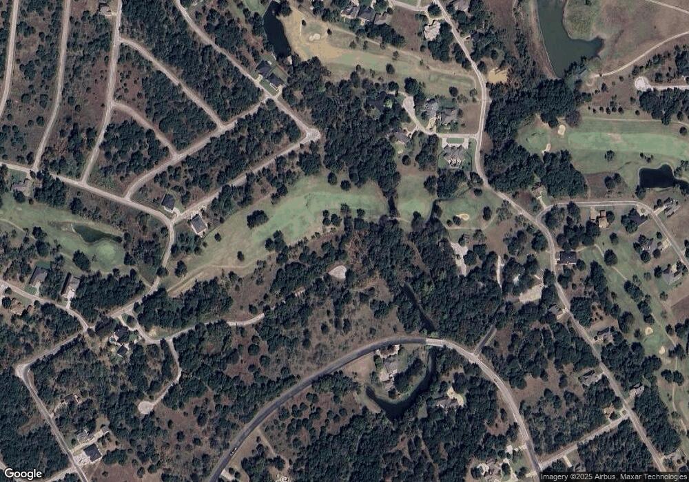
Map
Nearby Homes
- 38093 Misty Ridge Dr
- 34077 Stonewood Ct
- 39131 Royalwood Ln
- 34007 Stonewood Dr
- 39160 Rock Ridge Dr
- 27081 Meadowmore Dr
- 39166 Rock Ridge Dr
- 39155 Rock Ridge Dr
- 39279 Cedar Park Dr
- 39278 Cedar Park Dr
- 39320 Misty Ridge Dr
- 38107 Misty Ridge Dr
- 39312 Misty Ridge Dr
- 38108 Misty Ridge Dr
- 39311 Misty Ridge Dr
- 39213 Shadow Ridge Dr
- 27070 Stonewood Dr
- 27007 Stonewood Dr
- 24002 Stonewood Dr
- 27010 Stonewood Dr
- 38082 Brookside Dr
- 38072 Brookside Dr
- 1611 White Bluff Dr
- 38071 Brookside Dr
- 38104 Misty Ridge Dr
- 38099 Misty Ridge Dr
- 1610 White Bluff Dr
- 1610W White Bluff Dr
- 38098 Misty Ridge Dr
- 34082 Stonewood Ct
- 38077 Brookside Dr
- 38113 Misty Ridge Dr
- 1609E White Bluff Dr
- 38115 Misty Ridge Dr
- 1065 White Bluff Dr
- 34080 Stonewood Ct
- 38075 Brookside Ct E
- 1612 White Bluff Dr
- 38094 Misty Ridge Dr
- 39164 Misty Ridge Dr