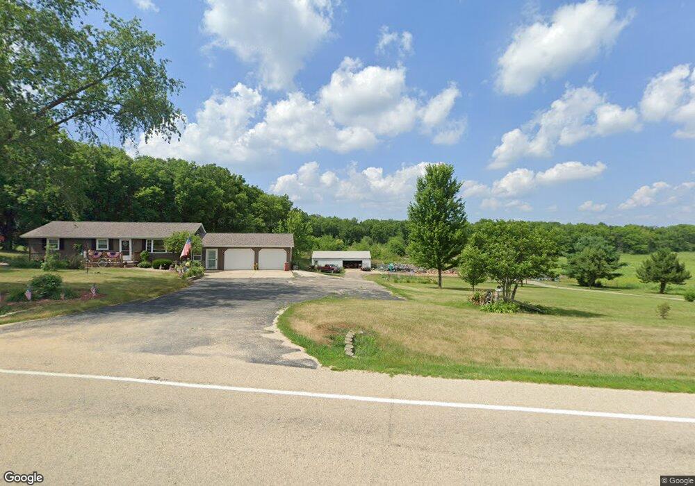
3808 E Flagg Rd Ashton, IL 61006
Estimated Value: $189,000 - $306,000
3
Beds
2
Baths
1,344
Sq Ft
$186/Sq Ft
Est. Value
About This Home
This home is located at 3808 E Flagg Rd, Ashton, IL 61006 and is currently estimated at $250,417, approximately $186 per square foot. 3808 E Flagg Rd is a home located in Ogle County with nearby schools including Oregon Elementary School and Oregon High School.
Ownership History
Date
Name
Owned For
Owner Type
Purchase Details
Closed on
Jul 1, 2021
Sold by
Burnette Bobby L and Burnette Beverly J
Bought by
Bobby L Burnette Trust and Beverly J Burnette Trust
Current Estimated Value
Purchase Details
Closed on
Aug 31, 2015
Sold by
Ruggerberg Evan P and Ruggerberg Pricilla A
Bought by
Burnette Bobby L and Burnette Beverly J
Home Financials for this Owner
Home Financials are based on the most recent Mortgage that was taken out on this home.
Original Mortgage
$151,200
Interest Rate
3.97%
Mortgage Type
New Conventional
Create a Home Valuation Report for This Property
The Home Valuation Report is an in-depth analysis detailing your home's value as well as a comparison with similar homes in the area
Home Values in the Area
Average Home Value in this Area
Purchase History
| Date | Buyer | Sale Price | Title Company |
|---|---|---|---|
| Bobby L Burnette Trust | -- | None Available | |
| Burnette Bobby L | $84,000 | -- |
Source: Public Records
Mortgage History
| Date | Status | Borrower | Loan Amount |
|---|---|---|---|
| Previous Owner | Burnette Bobby L | $151,200 |
Source: Public Records
Tax History
| Year | Tax Paid | Tax Assessment Tax Assessment Total Assessment is a certain percentage of the fair market value that is determined by local assessors to be the total taxable value of land and additions on the property. | Land | Improvement |
|---|---|---|---|---|
| 2024 | $2,214 | $68,275 | $15,443 | $52,832 |
| 2023 | $2,256 | $66,726 | $15,102 | $51,624 |
| 2022 | $2,336 | $61,199 | $13,851 | $47,348 |
| 2021 | $2,370 | $58,891 | $13,329 | $45,562 |
| 2020 | $2,391 | $56,626 | $12,816 | $43,810 |
| 2019 | $2,399 | $54,318 | $12,294 | $42,024 |
| 2018 | $2,390 | $51,732 | $11,709 | $40,023 |
| 2017 | $3,753 | $49,934 | $11,302 | $38,632 |
| 2016 | $2,363 | $49,420 | $11,186 | $38,234 |
| 2015 | $2,744 | $35,692 | $8,232 | $27,460 |
| 2014 | $2,751 | $35,692 | $8,232 | $27,460 |
| 2013 | $2,811 | $36,781 | $8,483 | $28,298 |
Source: Public Records
Map
Nearby Homes
- 4415 S Chana Rd
- 2931 S Lowden Rd
- 107 Maple Ln
- 811 Cottonwood Ct
- 806 Cottonwood Ct
- 209 Mulberry Ln
- 803 Cottonwood Ct
- 805 Timber Trail Dr
- 706 N 4th St
- 701 Woodland Dr
- 802 Paddock Ave
- 1003 Cartwright Ave
- 707 Douglas Ave
- 214 Park Dr
- 1024 White Pine Dr
- 304 Wild Cherry Dr
- 327 Wild Cherry Dr
- 214 Crabapple Ct
- 110 Flambeau Ln
- 703 Kaskaskia Dr
- 3720 E Flagg Rd
- 3720 E Flagg Rd
- 3508 E Flagg Rd
- 4255 E Flagg Rd
- 3637 E Flagg Rd
- 4180 E Flagg Rd
- 4250 E Flagg Rd
- 5839 S Prairie Rd
- 5590 S Prairie Rd
- 4703 E Flagg Rd
- 6563 S Prairie Rd
- 5460 S Prairie Rd
- 5196 S Prairie Rd
- 5198 S Prairie Rd
- 5841 S Watertown Rd
- 000 E Flagg Rd
- 00 S Hoosier Rd
- 3794 E Dugdale Rd
Your Personal Tour Guide
Ask me questions while you tour the home.